Glencoe in Middlesex County, Ontario — Central Canada (North America)
Glen Hall
| — | Middlesex Heritage Trail | — |
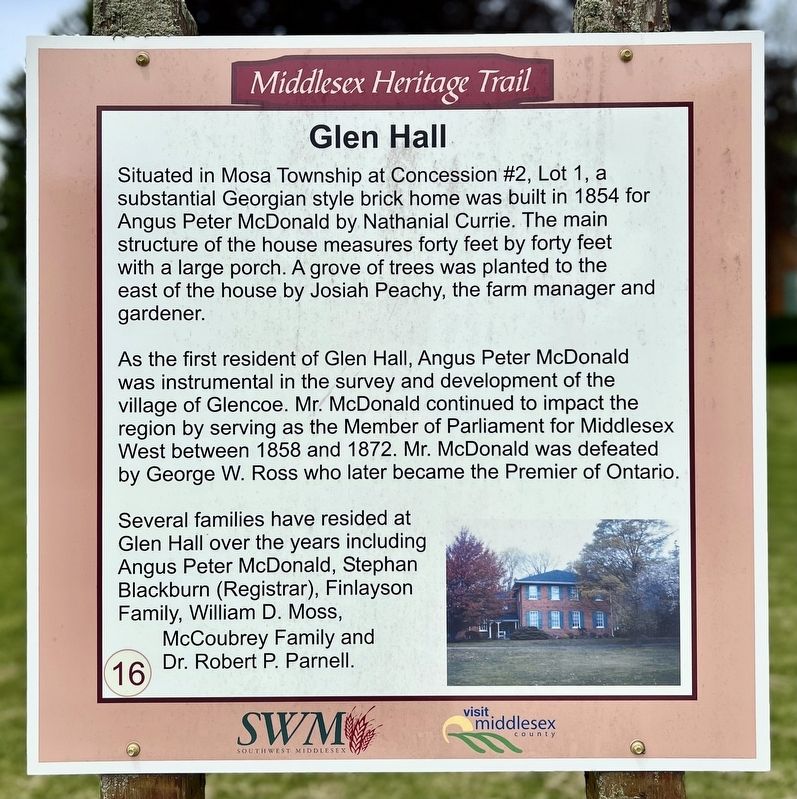
Photographed by Tim Boyd, May 30, 2025
1. Glen Hall Marker
As the first resident of Glen Hall, Angus Peter McDonald was instrumental in the survey and development of the village of Glencoe. Mr. McDonald continued to impact the region by serving as the Member of Parliament for Middlesex West between 1858 and 1872. Mr. McDonald was defeated by George W. Ross who later became the Premier of Ontario.
Several families have resided at Glen Hall over the years including Angus Peter McDonald, Stephan Blackburn (Registrar), Finlayson Family, William D. Moss, McCoubrey Family and Dr. Robert P. Parnell.
(Marker Number 16.)
Topics. This historical marker is listed in these topic lists: Architecture • Government & Politics • Settlements & Settlers. A significant historical year for this entry is 1854.
Location. 42° 44.554′ N, 81° 42.828′ W. Marker
this page online

Regionally, this marker is in the Southwest Ontario Area and in Southwestern Ontario. It is also in Central Canada. Globally, it is in North America, the Western Hemisphere, the Western World, and the Anglosphere. Historically, it finds itself in what was once a British colony, the Viceroyalty of New France, the Haudenosaunee (Iroquois) Confederacy, and Rupert’s Land.
Other nearby markers. At least 8 other markers are within 6 kilometers of this marker, measured as the crow flies: Grand Trunk and Wabash Train Station (approx. 0.6 kilometers away); Glencoe (approx. 0.6 kilometers away); Village of Glencoe 1856 (approx. 0.6 kilometers away); Glencoe Cenotaph (approx. 0.6 kilometers away); Glencoe Dominion Building (approx. 0.7 kilometers away); Battle of Longwoods (approx. 5.4 kilometers away); Battle Hill (approx. 5.4 kilometers away); Peter McArthur: the Sage of Ekfrid
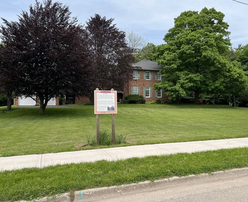
Photographed by Tim Boyd, May 30, 2025
2. Glen Hall Marker
More about this marker. The marker is number 16 in the Middlesex Heritage Trail series
Credits. This page was last revised on June 1, 2025. It was originally submitted on May 31, 2025, by Tim Boyd of Hamilton, Ontario. This page has been viewed 99 times since then and 17 times this year. Photos: 1, 2. submitted on May 31, 2025, by Tim Boyd of Hamilton, Ontario. • Andrew Ruppenstein was the editor who published this page.
