The Nations in Nashville in Davidson County, Tennessee — The American South (East South Central)
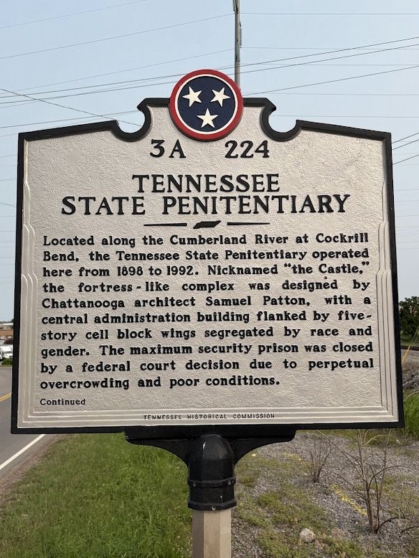
Tennessee State Penitentiary
Photographed by Darren Jefferson Clay, May 31, 2025
1. Tennessee State Penitentiary Marker
Continued
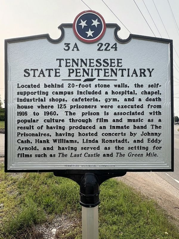
Located behind 20-foot stone walls, the self-supporting campus included a hospital, chapel, industrial shops, cafeteria, gym, and a death house where 125 prisoners were executed from 1916 to 1960. The prison is associated with popular culture through film and music as a result of having produced an inmate band The Prisonaires, having hosted concerts by Johnny Cash, Hank Williams, Linda Ronstadt, and Eddy Arnold, and having served as the setting for films such as The Last Castle and The Green Mile.
Erected 2025 by Tennessee Historical Commission. (Marker Number 3A 224.)
Topics. This historical marker is listed in this topic list: Notable Places.
Location. 36° 10.297′ N,
this page online

Regionally, this marker is in Middle Tennessee. It is also in the American South and specifically in the Upper South. Globally, it is in North America, the Western Hemisphere, the Western World, and the Anglosphere. Historically, it finds itself in what was once the territory of the Mississippian Culture, one of the Confederate States of America, and the Antebellum South.
Other nearby markers. At least 8 other markers are within 2 miles of this marker, measured as the crow flies: Cockrill Bend (within shouting distance of this marker); Chickasaw Treaty (approx. 0.6 miles away); “Travelers' Rest” (approx. one mile away); England Park (approx. 1.1 miles away); Cockrill School (approx. 1½ miles away); Sykes Field (approx. 1½ miles away); Robertson Avenue (approx.
Photographed by Darren Jefferson Clay, May 31, 2025
2. Tennessee State Penitentiary Marker
Photographed by Darren Jefferson Clay, May 31, 2025
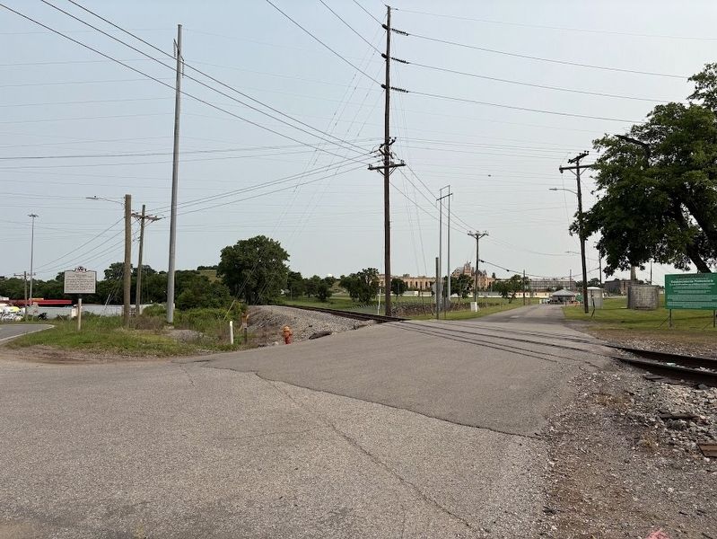
3. Tennessee State Penitentiary Marker
Credits. This page was last revised on June 3, 2025. It was originally submitted on May 31, 2025, by Darren Jefferson Clay of Duluth, Georgia. This page has been viewed 360 times since then and 130 times this year. Photos: 1, 2, 3. submitted on May 31, 2025, by Darren Jefferson Clay of Duluth, Georgia. • James Hulse was the editor who published this page.
