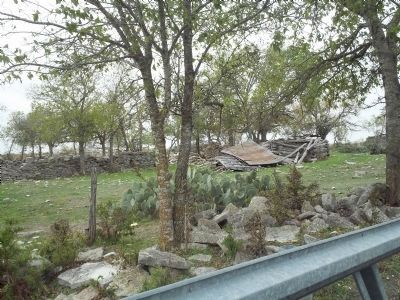
Near Bertram in Burnet County, Texas — The American South (West South Central)
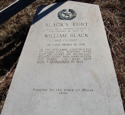
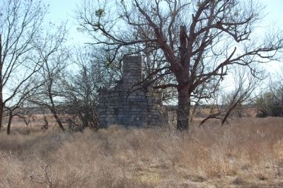
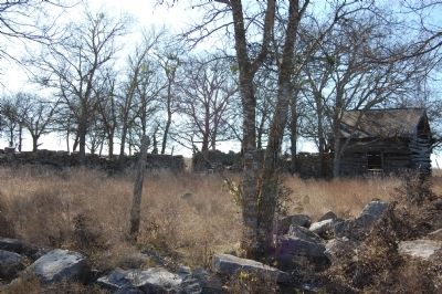
Black's Fort
Erected 1936 by the State of Texas. (Marker Number 9700.)
Topics and series. This historical marker is listed in this topic list: Forts and Castles. In addition, it is included in the Texas 1936 Centennial Markers and Monuments series list. A significant historical year for this entry is 1851.
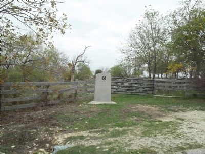
Location. 30° 50.97′ N, 98° 4.697′ W. Marker is near Bertram, Texas, in Burnet County. Marker is on CR-210A, on the right when traveling east. Touch for map. Marker is in this post office area: Bertram TX 78605, United States of America. Touch for directions.
Other nearby markers. At least 8 other markers are within 8 miles of this marker, measured as the crow flies. Site of Town of Strickling (approx. 1.3 miles away); Shady Grove Community (approx. 2.3 miles away); Joppa Community (approx. 3.2 miles away); Russell Fork Iron Truss Bridge (approx. 4.1 miles away); Joppa Iron Truss Bridge (approx. 4.1 miles away); Bethel Cemetery (approx. 5.1 miles away); Bertram (approx. 7.2 miles away); Bertram School (approx. 7.3 miles away). Touch for a list and map of all markers in Bertram.
Credits. This page was last revised on October 12, 2020. It was originally submitted on February 12, 2010, by Keith Peterson of Cedar Park, Texas. This page has been viewed 1,518 times since then and 75 times this year. Photos: 1. submitted on February 12, 2010, by Keith Peterson of Cedar Park, Texas. 2. submitted on November 18, 2011, by Richard Denney of Austin, Texas. 3. submitted on February 12, 2010, by Keith Peterson of Cedar Park, Texas. 4. submitted on February 13, 2010, by Keith Peterson of Cedar Park, Texas. 5. submitted on November 18, 2011, by Richard Denney of Austin, Texas. • Bill Pfingsten was the editor who published this page.
