Earl Township in New Holland in Lancaster County, Pennsylvania — The American Northeast (Mid-Atlantic)
Memorial Day
Photographed by Mark Parker, December 20, 2022
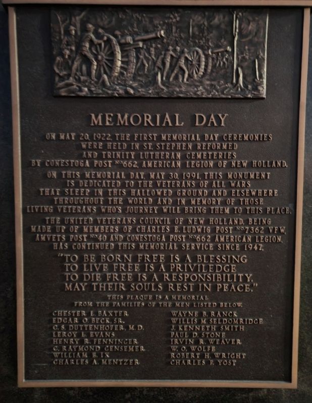
1. Memorial Day Marker
On this Memorial Day, May 30, 1991, this monument is dedicated to the veterans of all wars that sleep in this hallowed ground and elsewhere throughout the world and in memory of those living veterans who's journey will bring them to this place.
The United Veterans Council of New Holland, being made up of members of Charles E. Ludwig Post Mo. 7362 VFW, AmVets Post No. 40 and Conestoga Post No. 662 American Legion has continued this memorial service since 1947.
"To be born free is a blessing
To live free is a priviledge
To die free is a responsibility.
May their souls rest in peace."
This plaque is a memorial from the families of the men listed below.
Chester L. Baxter Edgar O. Deck, Sr. C. S. Duttenhofer, M. D. Leroy L. Evans Henry R. Fenninger C. Raymond Gensemer William B. Ix Charles A. Mentzer Wayne B. Ranck Willis M. Seldomridge J. Kenneth Smith Paul D. Stone Irvin R. Weaver W. O. Wolfe Robert H. Wright
this page online
Erected 1991 by The United Veterans Council.
Topics. This memorial is listed in this topic list: Military. A significant historical date for this entry is May 20, 1922.
Location. 40° 6.274′ N, 76° 5.167′ W. Memorial is in New Holland, Pennsylvania, in Lancaster County. It is in Earl Township. It is on East Main Street (Pennsylvania Route 23) west of Brimmer Avenue, on the right when traveling west. Location is on the grounds of Saint Stephen Reformed Church to the west of the buildings. Touch for map. Memorial is at or near this postal address: 249 E Main St, New Holland PA 17557, United States of America. Touch for directions.

Regionally, this memorial is in South-Central Pennsylvania, specifically in Pennsylvania Dutch Country, and in the Susquehanna Valley. It is also in the American Northeast and in the Mid-Atlantic. Globally, it is in North America, the Western Hemisphere, the Western World, and the Anglosphere. Historically, it finds itself in what was once the Haudenosaunee (Iroquois) Confederacy and also one of the original Thirteen Colonies.
Other nearby markers. At least 8 other markers are within
Photographed by Mark Parker, December 20, 2022
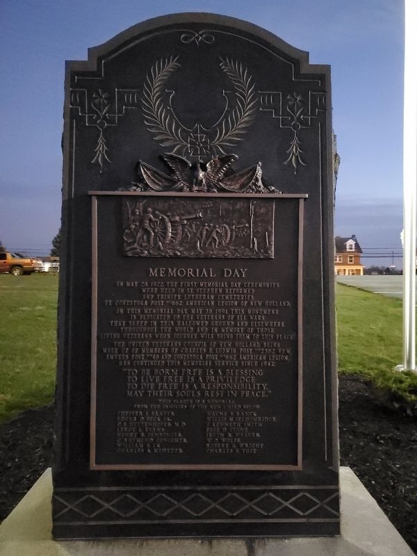
2. Full view of Memorial Day Marker
Credits. This page was last revised on June 10, 2025. It was originally submitted on June 5, 2025, by Mark Parker of Hickory, North Carolina. This page has been viewed 114 times since then and 16 times this year. Photos: 1, 2. submitted on June 5, 2025, by Mark Parker of Hickory, North Carolina. • Bill Pfingsten was the editor who published this page.
