Burneside in Westmorland and Furness, England, United Kingdom — Northwestern Europe (the British Isles)
Burneside War Memorial
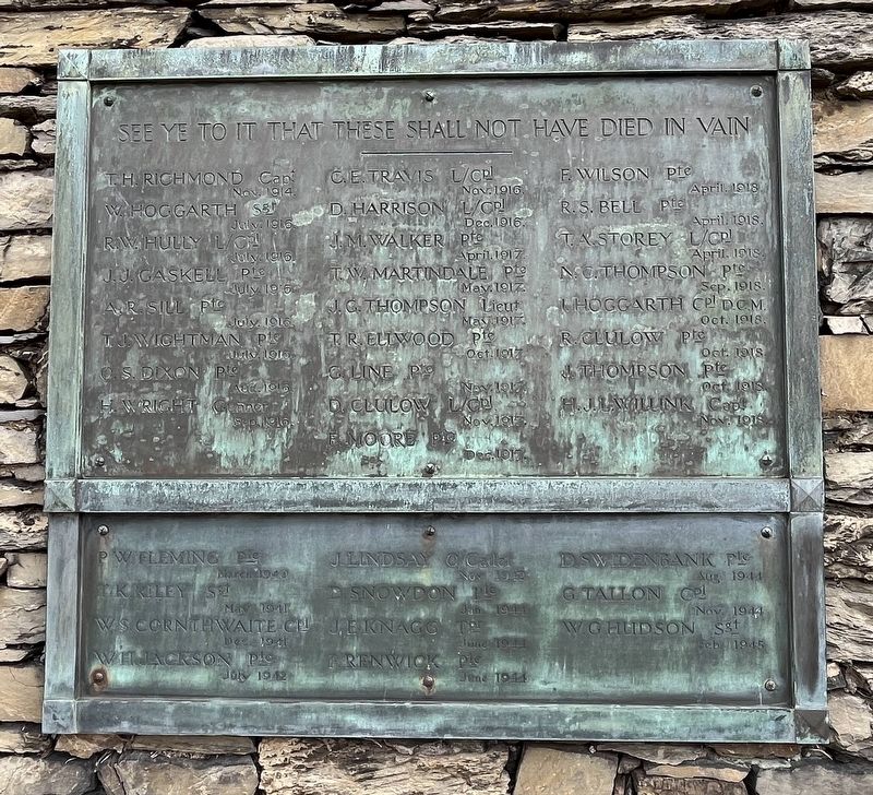
Photographed by Ray Gurganus, April 12, 2025
1. Burneside War Memorial Marker
(names not transcribed)
Topics. This memorial is listed in these topic lists: War, World I • War, World II.
Location. 54° 21.281′ N, 2° 45.819′ W. Memorial is in Burneside, England, in Westmorland and Furness. It is at the intersection of Saint Oswald's View and Bridge Street on Saint Oswald's View. In front of St Oswald's Church. Touch for map. Memorial is at or near this postal address: 1 St Oswald's View, Burneside, England LA9 6QP, United Kingdom. Touch for directions.

Regionally, this memorial is in North West England. Globally, it is on the Atlantic Ocean, in the North Atlantic Region, in Europe, in Atlantic Europe, on one of the British Isles, in the Western World, and in the Anglosphere. Historically, it finds itself in what was once the Roman Empire.
Other nearby markers. At least 8 other markers are within 3 kilometers of this marker, measured as the crow flies: Explore the history around Kendal Railway Station (approx. 2.9 kilometers away); Explore the history around Sandes Avenue (approx.
this page online
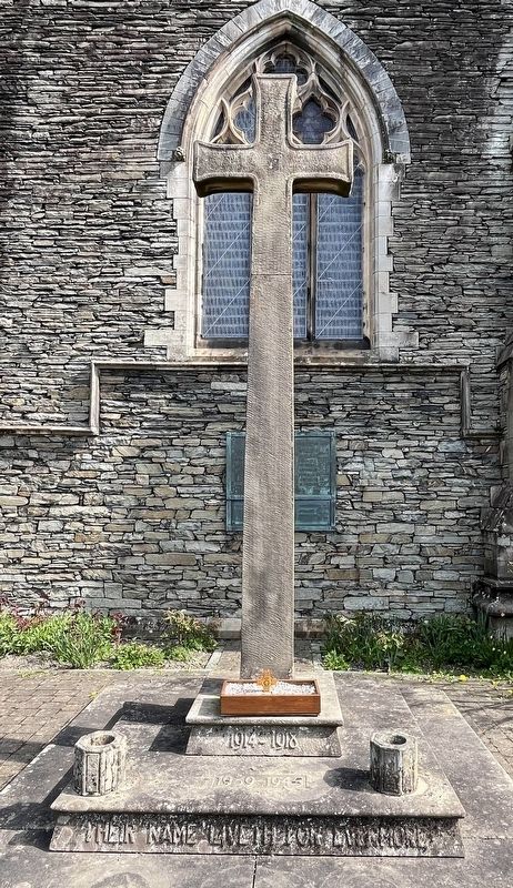
Photographed by Ray Gurganus, April 12, 2025
2. Burneside War Memorial
1914-1918, 1939-1945 - Their name liveth for evermore
Credits. This page was last revised on June 28, 2025. It was originally submitted on June 6, 2025, by Ray Gurganus of Washington, District of Columbia. This page has been viewed 62 times since then and 6 times this year. Photos: 1, 2. submitted on June 6, 2025, by Ray Gurganus of Washington, District of Columbia. • Andrew Ruppenstein was the editor who published this page.
