Marker Logo HMdb.org THE HISTORICAL
MARKER DATABASE
“Bite-Size Bits of Local, National, and Global History”
Near Marble Falls in Burnet County, Texas — The American South (West South Central)
 

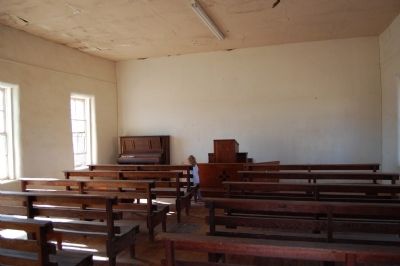
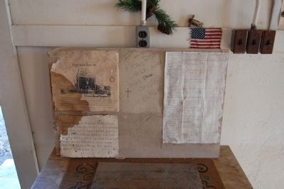
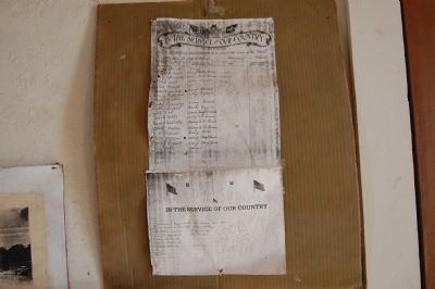
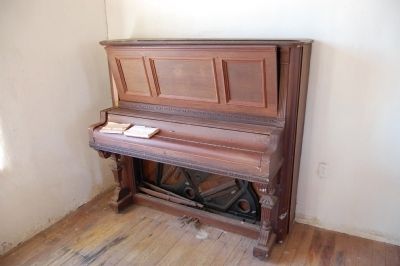
Crownover Chapel


Crownover Chapel Marker image. Click for full size.
Photographed By Keith Peterson, December 23, 2007
1. Crownover Chapel Marker
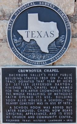
Inscription. Backbone Valley's first public building, started 1859 on 7-acre tract donated that year by heirs of settler Jefferson Barton. Finished 1870, chapel was named for the Rev. Arter Crownover (1810-76), whose preaching of Methodist faith opened its use. Building soon also housed a school. The nearby cemetery was in use by 1872.

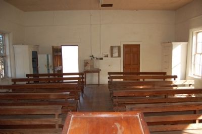
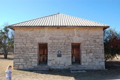
A school room was added but later removed. Chapel now bears original appearance, and is used as church and community center.
 
Erected 1972 by the State Historical Survey Committee. (Marker Number 9709.)
 
Topics. This historical marker is listed in these topic lists: Churches & ReligionNotable Buildings. A significant historical year for this entry is 1859.
 
Location. 30° 38.548′ N, 98° 17.065′ W. Marker is near Marble Falls, Texas, in Burnet County. Marker can be reached from CR-122, 0.2 miles FM 1855. Touch for map. Marker is in this post office area: Marble Falls TX 78654, United States of America. Touch for directions.
 
Other nearby markers. At least 8 other markers are within 5 miles of this marker, measured as the crow flies. The Tobey Community Cemetery (approx. 2˝ miles away); Granite Mountain (approx. 3.6 miles away); Marble Falls School Building (approx. 4.1 miles away); Marble Falls Depot (approx. 4.6 miles away); Governor O. M. Roberts' House
Paid Advertisement
Click on the ad for more information.
Please report objectionable advertising to the Editor.
Click or scan to see
this page online
(approx. 4.7 miles away); St. Frederick Baptist Church (approx. 4.7 miles away); Hoag-Faubion-Fuchs House (approx. 4.7 miles away); Christian-Matern House (approx. 4.8 miles away). Touch for a list and map of all markers in Marble Falls.
 
Crownover Chapel image. Click for full size.
Photographed By Keith Peterson, December 23, 2007
2. Crownover Chapel
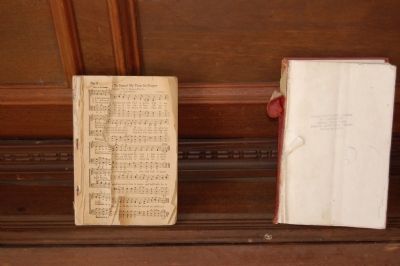
Crownover Chapel image. Click for full size.
Photographed By Keith Peterson, December 23, 2007
3. Crownover Chapel
Crownover Chapel image. Click for full size.
Photographed By Keith Peterson, December 23, 2007
4. Crownover Chapel
Crownover Chapel image. Click for full size.
Photographed By Keith Peterson, December 23, 2007
5. Crownover Chapel
Crownover Chapel image. Click for full size.
Photographed By Keith Peterson, December 23, 2007
6. Crownover Chapel
Crownover Chapel image. Click for full size.
Photographed By Keith Peterson, December 23, 2007
7. Crownover Chapel
Crownover Chapel image. Click for full size.
Photographed By Keith Peterson, December 23, 2007
8. Crownover Chapel
 
 
Credits. This page was last revised on October 12, 2020. It was originally submitted on February 13, 2010, by Keith Peterson of Cedar Park, Texas. This page has been viewed 1,172 times since then and 23 times this year. Photos:   1, 2, 3, 4, 5, 6, 7, 8. submitted on February 13, 2010, by Keith Peterson of Cedar Park, Texas. • Bill Pfingsten was the editor who published this page.
Share this page.  
Share on Tumblr
m=27482

CeraNet Cloud Computing sponsors the Historical Marker Database.
This website earns income from purchases you make after using our links to Amazon.com. We appreciate your support.
Paid Advertisement
Apr. 25, 2024