Near Campobello in Spartanburg County, South Carolina — The American South (South Atlantic)
Little Africa
Photographed by J. J. Prats, May 17, 2025
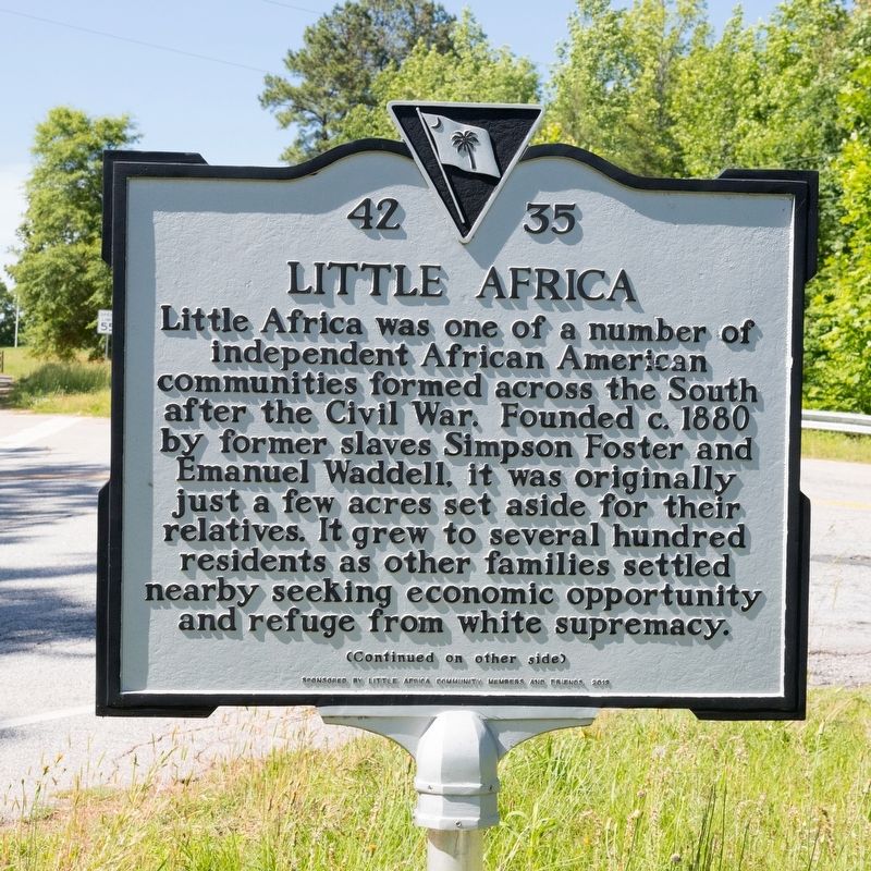
1. Little Africa Marker, Side One
Little Africa was one of a number of independent African American communities formed across the South after the Civil War. Founded circa 1880 by former slaves Simpson Foster and Emanuel Waddell, it was originally just a few acres set aside for their relatives. It grew to several hundred residents as other families settled nearby seeking economic opportunity and refuge from white supremacy.
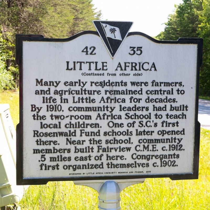
Many early residents were farmers, and agriculture remained central to life in Little Africa for decades. By 1910, community leaders had built the two-room Africa School to teach local children. One of S.C.’s first Rosenwald Fund schools later opened there. Near the school, community members built Fairview C.M.E. circa 1912, ½ mile east of here. Congregants first organized themselves circa 1902.
Erected 2019 by Department of Archives and History. Sponsored by Little Africa community members and friends. (Marker Number 42-35.)
Topics. This historical marker is listed in this topic list: African Americans. A significant historical year for this entry is 1880.
Location. 35° 10.091′ N, 82° 1.668′ W. Marker is near
this page online

Regionally, this marker is in Upstate and in the Greater Greenville-Spartanburg Area. It is also in the American South, specifically in the Deep South, in Appalachia, and specifically in Southern Appalachia. Globally, it is in North America, the Western Hemisphere, the Western World, and the Anglosphere. Historically, it finds itself in what was once the original Cherokee Nation, the territory of the Mississippian Culture, one of the original Thirteen Colonies, one of the Confederate States of America, and the Antebellum South.
Other nearby markers. At least 8 other markers are within 8 miles of this marker, measured as the crow flies: Ibra Charles Blackwood (approx. 1.9 miles away); North Carolina / South Carolina (approx. 1.9 miles away in North Carolina); Tryon's March (approx.
Photographed by J. J. Prats, May 17, 2025
2. Little Africa Marker, Side Two
Another marker is no longer nearby. Battle of Earle's Ford (was approx. 6.7 miles away but has been confirmed missing).
Also see . . . Little Africa Community 2½ minute video. (Submitted on June 7, 2025.)
Photographed by J. J. Prats, May 17, 2025
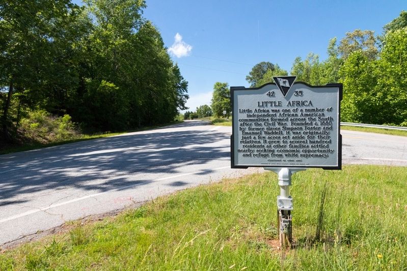
3. Little Africa Marker
Photographed by J. J. Prats, May 17, 2025
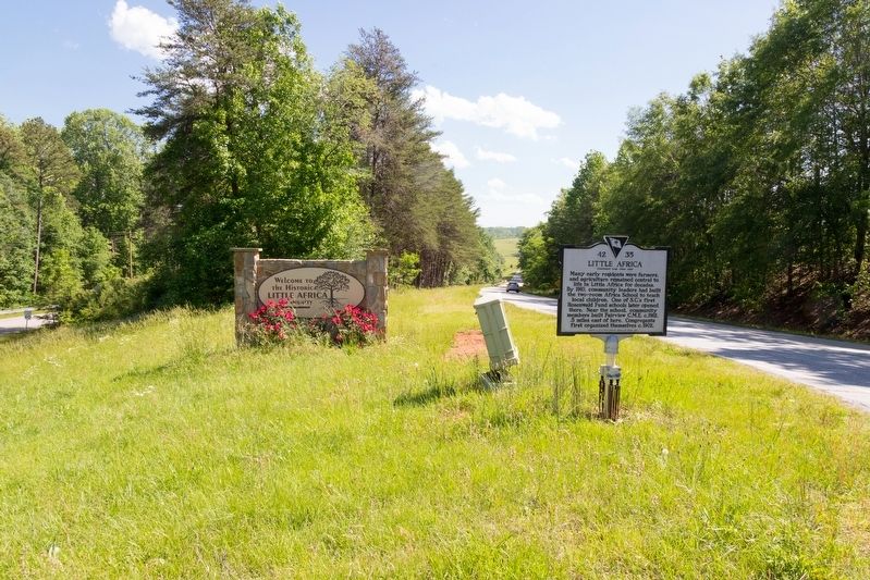
4. Little Africa Marker
Credits. This page was last revised on July 20, 2025. It was originally submitted on June 7, 2025, by J. J. Prats of Powell, Ohio. This page has been viewed 574 times since then and 211 times this year. Photos: 1, 2, 3, 4. submitted on June 7, 2025, by J. J. Prats of Powell, Ohio.
