Catonsville in Baltimore County, Maryland — The American Northeast (Mid-Atlantic)
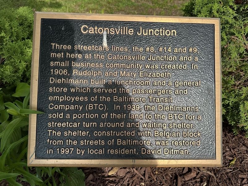
Catonsville Junction
Photographed by Pete Skillman, June 7, 2025
1. Catonsville Junction Marker
Topics. This historical marker is listed in these topic lists: Industry & Commerce • Railroads & Streetcars. A significant historical year for this entry is 1906.
Location. 39° 16.365′ N, 76° 45.156′ W. Marker is in Catonsville, Maryland, in Baltimore County. It is on Dutton Avenue, on the right when traveling north. Touch for map. Marker is at or near this postal address: 25 Dutton Ave, Catonsville MD 21228, United States of America. Touch for directions.

Regionally, this marker is in the Baltimore Metro Region and in Central Maryland. It is also in the American Mid-Atlantic, in the Chesapeake
this page online
Other nearby markers. At least 8 other markers are within one mile of this marker, measured as the crow flies: Catonsville (approx. 0.4 miles away); The Streetcar Era in Catonsville (approx. 0.4 miles away); Rolling Road (approx. half a mile away); The Wye Oak (approx. half a mile away); Baltimore Regional Trail (approx. 0.7 miles away); Catonsville Nine (approx. 0.7 miles away); Castle Thunder (approx. 0.7 miles away); a different marker also named Catonsville (approx. one mile away). Touch for a list and map of all markers in Catonsville.
Also see . . . Catonsville Rails to Trails.
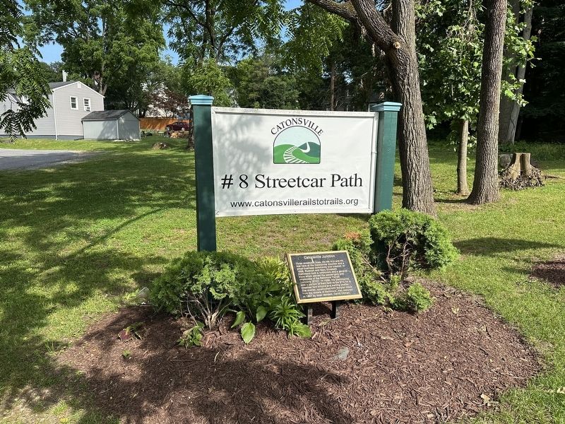
Catonsville trails are enjoyed by thousands of residents of all ages every year. Our trails are located in older neighborhoods that often lack sidewalks and our trails provide safe access for pedestrians, cyclist, joggers, residents and students. All of(Submitted on June 7, 2025, by Pete Skillman of Wilmington, Delaware.)our existing and proposed trails provide an economic focus by bringing trails through commercial centers including the Village business district of Catonsville, Catonsville Junction, Oella and Ellicott City. Two of our trails are handicapped accessible with paved surfaces.Photographed by Pete Skillman, June 7, 20252. Catonsville Junction Marker - wide view
Trails are open sun-up to sun-down. Bring your bike, camera and binoculars, your water, your dog on a leash, your grandkids and your grandparents!
Photographed by Pete Skillman, June 7, 2025
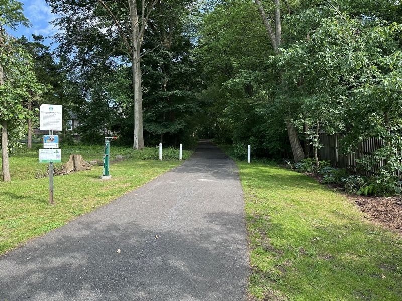
3. Catonsville Junction Marker - trail
This is the view south along the old #8 streetcar line.
Credits. This page was last revised on June 7, 2025. It was originally submitted on June 7, 2025, by Pete Skillman of Wilmington, Delaware. This page has been viewed 223 times since then and 50 times this year. Photos: 1, 2, 3. submitted on June 7, 2025, by Pete Skillman of Wilmington, Delaware.
