Bells in Crockett County, Tennessee — The American South (East South Central)
Cherryville
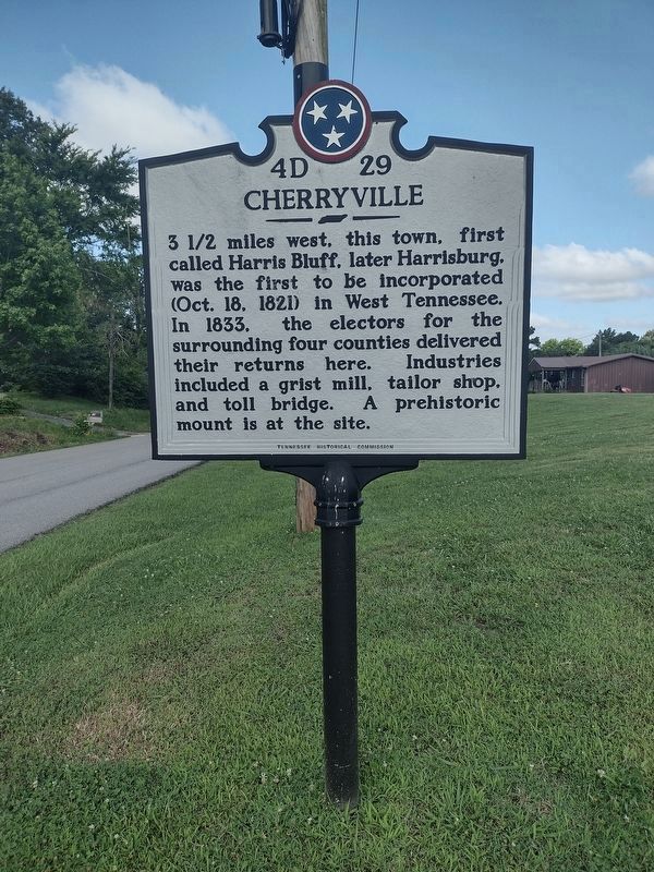
Photographed by David Austin, June 8, 2025
1. Cherryville Marker
Erected by Tennessee Historical Commission. (Marker Number 4D 29.)
Topics and series. This historical marker is listed in this topic list: Settlements & Settlers. In addition, it is included in the Tennessee Historical Commission series list. A significant historical year for this entry is 1833.
Location. 35° 42.746′ N, 89° 5.504′ W. Marker is in Bells, Tennessee, in Crockett County. It is at the intersection of Cherryville Road and College Street (Tennessee Route 88), on the right when traveling west on Cherryville Road. Touch for map. Marker is in this post office area: Bells TN 38006, United States of America. Touch for directions.

Regionally, this marker is in West Tennessee. It is also in the American South and specifically in the Upper South. Globally, it is in North America, the Western
this page online
Other nearby markers. At least 8 other markers are within 9 miles of this marker, measured as the crow flies: Crockett County Veterans Memorial (approx. 5.2 miles away); Robert H. White, Ph. D. (approx. 5.2 miles away); The Original Bank of Alamo Building (approx. 5.2 miles away); Cageville in the Civil War (approx. 5.2 miles away); a different marker also named Crockett County Veterans Memorial (approx. 5.2 miles away); Crockett County's First Court (approx. 5.3 miles away); First Strawberries (approx. 6.6 miles away); Tabernacle (approx. 8.6 miles away).
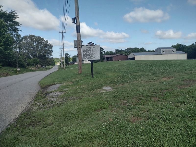
Photographed by David Austin, June 8, 2025
2. Cherryville Marker - new replaced marker
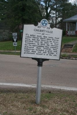
Photographed by Dave Roberson, March 22, 2009
3. Cherryville Marker - old marker location
Photo by courtesy of David Roberson of Cordova, Tennessee.
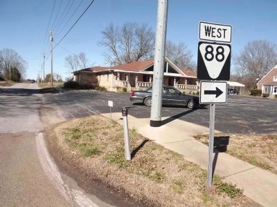
Photographed by Ken Smith, February 25, 2012
4. No Cherryville Marker
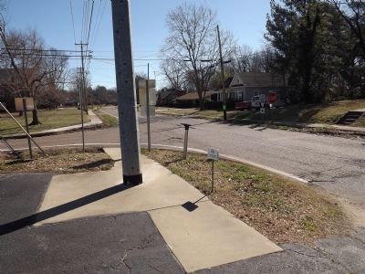
Photographed by Ken Smith, February 25, 2012
5. Missing Cherryville Marker - Marker replaced
Standing at Cherryville Road, looking toward Main Street with College Street to the left.
Credits. This page was last revised on June 16, 2025. It was originally submitted on February 27, 2012, by Ken Smith of Milan, Tennessee. This page has been viewed 1,559 times since then and 104 times this year. Last updated on June 8, 2025, by David Austin of Scotts Hill, Tennessee. Photos: 1, 2. submitted on June 8, 2025, by David Austin of Scotts Hill, Tennessee. 3, 4, 5. submitted on February 27, 2012, by Ken Smith of Milan, Tennessee. • James Hulse was the editor who published this page.
