Parowan in Iron County, Utah — The American Mountains (Southwest)
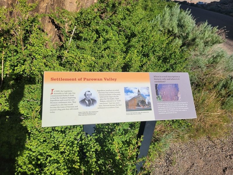
Settlement of Parowan Valley
Photographed by Jeremy Snow, May 31, 2025
1. Settlement of Parowan Valley Marker
Expedition members recorded Parowan Gap in their journals. Several members of the party believed the Gap to be the place the Ute leader, Chief Wakara, referred to as "God's own house." Just two years later, Parowan became the first settlement in Southern Utah.
(photo caption) Parley P. Pratt (1807-1857) explored many parts of Utah for the Mormon Church. Photo: Utah State Historical Society
(photo caption) Parowan Tabernacle built in 1867 with sandstone from Parowan Valley. Photo: Eric Willhite
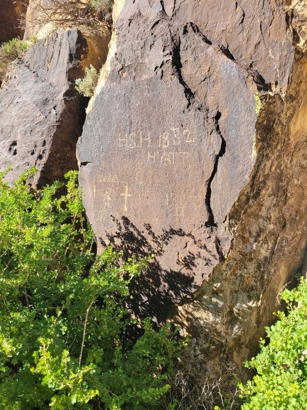
When is a rock inscription a historic relic and when is it vandalism?
Inscriptions made by early settlers have become, in a sense, part of this site's historic record. But now that people understand just how remarkable and irreplaceable the petroglyphs are, this site protects that heritage. Any writing on the rocks today is vandalism, punishable by
this page online
Topics. This historical marker is listed in these topic lists: Exploration • Settlements & Settlers. A significant historical year for this entry is 1849.
Location. 37° 54.582′ N, 112° 59.172′ W. Marker is in Parowan, Utah, in Iron County. It is on West Gap Road, on the right when traveling east. Touch for map. Marker is at or near this postal address: W Gap Road, Parowan UT 84761, United States of America. Touch for directions.

Regionally, this marker is in Utah’s Color Country. It is also in the American Mountain West and on the Colorado Plateau. Globally, it is in North America, the Rocky Mountains, the Western Hemisphere, the Western World, and the Anglosphere. Historically, it finds itself in what was once New Spain and also Mexico’s Alta California.
Other nearby markers. At least 8 other markers are within 8 miles of this marker, measured as the crow flies: Art or Language? / How These Images Were Made (about 300 feet away, measured in a direct line); Parowan Gap Petroglyphs (about 400 feet away); Hopi Perspective (about 400 feet away); The Great Migration (about 400 feet away); Paiute Perspective (about
Photographed by Jeremy Snow, May 31, 2025
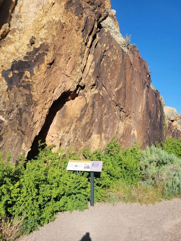
2. Settlement of Parowan Valley Marker
Photographed by Jeremy Snow, May 31, 2025
3. Historic inscriptions next to this marker.
Credits. This page was last revised on June 9, 2025. It was originally submitted on June 9, 2025, by Jeremy Snow of Cedar City, Utah. This page has been viewed 141 times since then and 31 times this year. Photos: 1, 2, 3. submitted on June 9, 2025, by Jeremy Snow of Cedar City, Utah. • Andrew Ruppenstein was the editor who published this page.
