Canton near Port Hope in Northumberland County, Ontario — Central Canada (North America)
Hope Chapel
Photographed by Tim Boyd, June 7, 2025
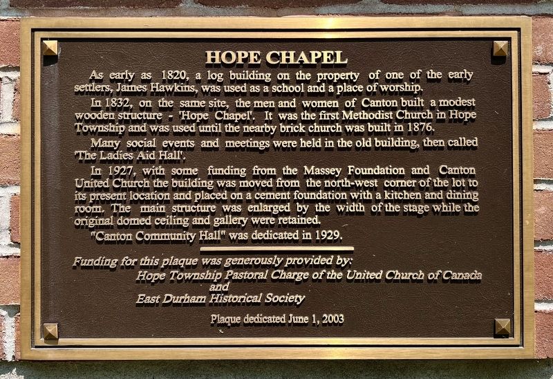
1. Hope Chapel Marker
In 1832, on the same site, the men and women of Canton built a modest wooden structure - Hope Chapel. It was the first Methodist Church in Hope Township and was used until the nearby brick church was built in 1876.
Many social events and meetings were held in the old building, then called ‘The Ladies Aid Hall'.
In 1927, with some funding from the Massey Foundation and Canton United Church the building was moved from the north-west corner of the lot to its present location and placed on a cement foundation with a kitchen and dining room. The main structure was enlarged by the width of the stage while the original domed ceiling and gallery were retained.
"Canton Community Hall'" was dedicated in 1929.
Erected 2003 by Hope Township Pastoral Charge of the United Church of Canada/ East Durham Historical Society.
Topics. This historical marker is listed in these topic lists: Charity & Public Work • Religion & Religious Structures • Settlements & Settlers. A significant historical year for this entry is 1820.
Location. 43° 59.812′ N,
this page online

Regionally, this marker is in the Kawarthas Northumberland Area and in Eastern Ontario. It is also in Central Canada. Globally, it is in North America, on the Great Lakes, in the Western Hemisphere, in the Western World, and in the Anglosphere. Historically, it finds itself in what was once a British colony, the Viceroyalty of New France, the Haudenosaunee (Iroquois) Confederacy, and Rupert’s Land.
Other nearby markers. At least 8 other markers are within 8 kilometers of this marker, measured as the crow flies: Sgt. Edward Edwin Dodds (a few steps from this marker); Harris Burial Ground - Susanna Moody Home (approx. 5.8 kilometers away); Thomas Curtis Clarke 1827-1901 (approx. 6.6 kilometers away); The Little Station House (approx. 6.7 kilometers away); Port Hope Capitol Theatre / Le Théâtre Capitol de Port Hope
Photographed by Tim Boyd, June 7, 2025
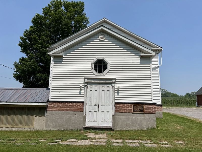
2. Hope Chapel Marker
Photographed by Tim Boyd, June 7, 2025
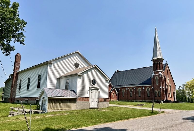
3. Hope Chapel, with the 1876 Church on the right
Credits. This page was last revised on June 9, 2025. It was originally submitted on June 9, 2025, by Tim Boyd of Hamilton, Ontario. This page has been viewed 120 times since then and 27 times this year. Photos: 1, 2, 3. submitted on June 9, 2025, by Tim Boyd of Hamilton, Ontario. • Andrew Ruppenstein was the editor who published this page.
