Sevierville in Sevier County, Tennessee — The American South (East South Central)
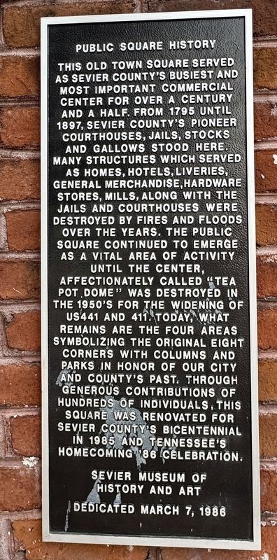
Public Square History
Photographed by Brandon D Cross, June 7, 2025
1. Public Square History Marker
Dedicated March 7, 1986
Erected 1986 by Sevier Museum of History and Art.
Topics. This historical marker is listed in these topic lists: Industry & Commerce • Notable Places. A significant historical year for this entry is 1795.
Location. 35° 52.121′ N, 83° 33.909′ W. Marker is in Sevierville, Tennessee, in Sevier County. It is at the intersection of East Main Street and Court Avenue, on the left when traveling south on East Main Street. Touch for map. Marker is at or near this postal address: 107 E Main St, Sevierville TN 37862, United States of America. Touch for directions.

Regionally, this marker is in East Tennessee and in the Great Smoky Mountains. It is also in the American South, specifically in the Upper South, in Appalachia, and specifically in Southern Appalachia. Globally, it is in North America, the Western Hemisphere, the Western World, and the
this page online
Other nearby markers. At least 8 other markers are within walking distance of this marker: Sevierville (a few steps from this marker); William M. Whaley (a few steps from this marker); Thomas Atchley (a few steps from this marker); a different marker also named Sevierville (a few steps from this marker); a different marker also named Sevierville (a few steps from this marker); Timothy Reagan (a few steps from this marker); James McMahan (a few steps from this marker); Isaac Thomas (within shouting distance of this marker). Touch for a list and map of all markers in Sevierville.
Also see . . .
1. History of Sevierville. (Submitted on June 9, 2025, by Brandon D Cross of Flagler Beach, Florida.)
2. Servierville History. (Submitted on June 9, 2025, by Brandon D Cross of Flagler Beach, Florida.)
Photographed by Brandon D Cross, June 7, 2025
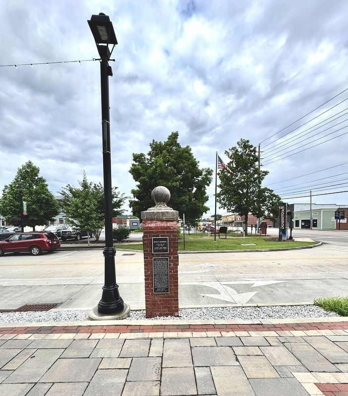
2. Public Square History Marker
Credits. This page was last revised on June 10, 2025. It was originally submitted on June 9, 2025, by Brandon D Cross of Flagler Beach, Florida. This page has been viewed 110 times since then and 26 times this year. Photos: 1, 2. submitted on June 9, 2025, by Brandon D Cross of Flagler Beach, Florida. • James Hulse was the editor who published this page.
