Ellisville in Jones County, Mississippi — The American South (East South Central)
Ellisville State School

Photographed by David Rozzelle, June 2, 2025
1. Ellisville State School Marker
Erected 2020 by Mississippi Department of Archives and History.
Topics. This historical marker is listed in this topic list: Education. A significant historical year for this entry is 1920.
Location. 31° 35.212′ N, 89° 12.925′ W. Marker is in Ellisville, Mississippi, in Jones County. It is on U.S. 11 south of Ellisville State School Rd, on the right when traveling south. Touch for map. Marker is at or near this postal address: 1101 US Highway 11, Ellisville MS 39437, United States of America. Touch for directions.

Regionally, this marker is in Mississippi’s Pine Belt. It is also in the American South,
this page online
Other nearby markers. At least 8 other markers are within 7 miles of this marker, measured as the crow flies: Mississippi National Guard Korean War Memorial (approx. one mile away); JCJC Bobcats Defy Segregation (approx. 1.1 miles away); Lynching of John Hartfield (approx. 1½ miles away); Jones County Courthouse (approx. 1.7 miles away); Skirmish At Rocky Creek (approx. 1.9 miles away); Amos Deason Home (approx. 1.9 miles away); Newt Knight: Robin Hood or Renegade? / The Amos Deason Home (approx. 2 miles away); Ralph Boston (approx. 7 miles away). Touch for a list and map of all markers in Ellisville.

Photographed by David Rozzelle, June 2, 2025
2. Ellisville State School building
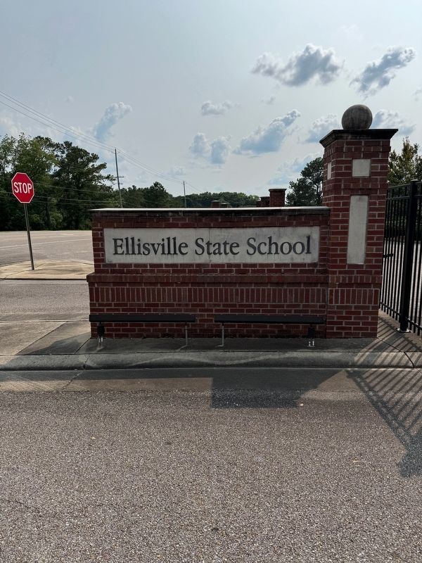
Photographed by David Rozzelle, June 2, 2025
3. Ellisville State School entrance
Credits. This page was last revised on June 12, 2025. It was originally submitted on June 11, 2025, by David Rozzelle of Knoxville, Tennessee. This page has been viewed 426 times since then and 145 times this year. Photos: 1, 2, 3. submitted on June 11, 2025, by David Rozzelle of Knoxville, Tennessee. • James Hulse was the editor who published this page.
