St. Catharines in Niagara Region, Ontario — Central Canada (North America)
Brock University
Photographed by Kevin Westell, June 11, 2025
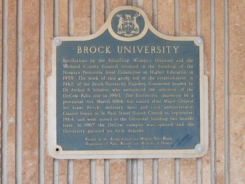
1. Brock University Marker
Erected by Archaeological and Historic Sites Board, Department of Public Records and Archives of Ontario.
Topics and series. This historical marker is listed in this topic list: Education. In addition, it is included in the Canada, Ontario Heritage Trust series list. A significant historical year for this entry is 1958.
Location. 43° 7.16′ N, 79° 14.916′ W. Marker is in St. Catharines, Ontario, in
this page online

Regionally, this marker is on the Golden Horseshoe and in Niagara Canada. It is also in Central Canada. Globally, it is in North America, on the Great Lakes, in the Western Hemisphere, in the Western World, and in the Anglosphere. Historically, it finds itself in what was once a British colony, the Viceroyalty of New France, the Haudenosaunee (Iroquois) Confederacy, and Rupert’s Land.
Other nearby markers. At least 8 other markers are within walking distance of this marker: Major-General Sir Isaac Brock, K.B. 1769-1812 (within shouting distance of this marker); Niagara Peninsula Conservation Authority
Photographed by Kevin Westell, June 11, 2025
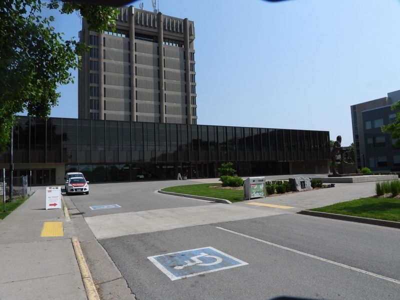
2. Brock University - Marker in context
In this picture, the marker is visible in the background, mounted on the right side of the building, under the overhang.
Photographed by Kevin Westell, June 11, 2025
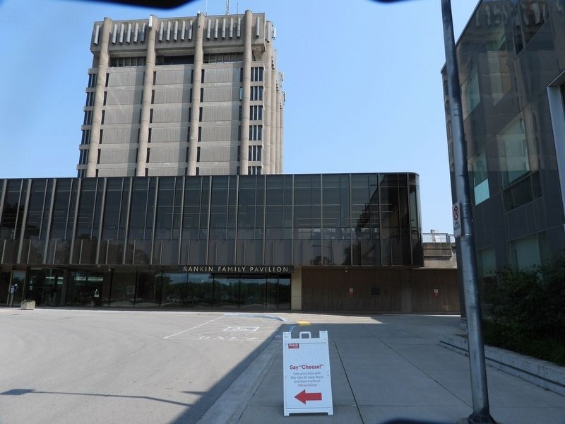
3. Brock University - Marker in context
The marker is mounted on the building, at the right, under the overhang.
Credits. This page was last revised on June 22, 2025. It was originally submitted on June 12, 2025, by Kevin Westell of St. Catharines, Ontario. This page has been viewed 144 times since then and 29 times this year. Photos: 1, 2, 3. submitted on June 12, 2025, by Kevin Westell of St. Catharines, Ontario. • Andrew Ruppenstein was the editor who published this page.
