Gurley in Madison County, Alabama — The American South (East South Central)
History of Gurley
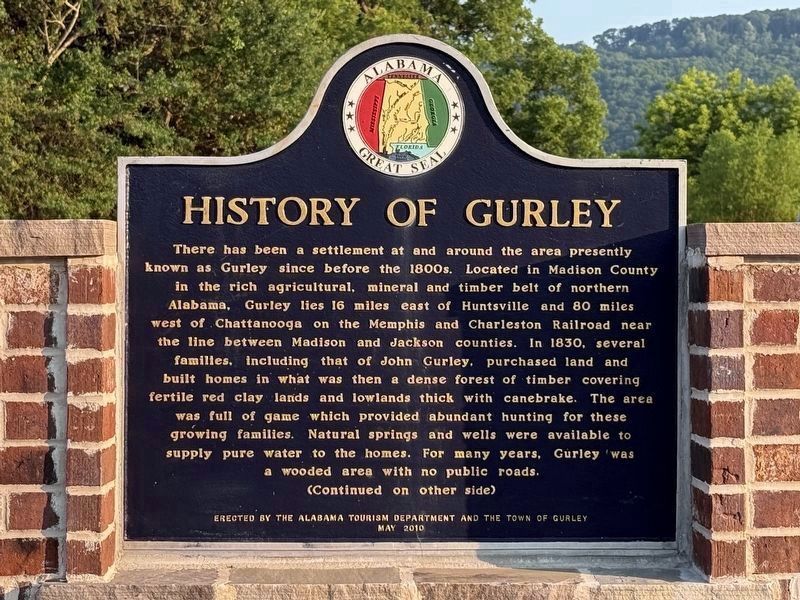
Photographed by Deborah Spencer, June 10, 2025
1. History of Gurley Marker
Reverse Side
The railroad was built through here in 1857. Then, because of the large cedar water tank, the town became known as "Gurley's Tank." The water tank supplied water to the steam-driven engines of the trains. When the post office was established in 1867, the was changed to "Gurleysville." The name was later shortened
this page online
Erected 2010 by Alabama Tourism Department and the Town of Gurley.
Topics and series. This historical marker is listed in these topic lists: Railroads & Streetcars • Settlements & Settlers. In addition, it is included in the Alabama Tourism Department series list. A significant historical year for this entry is 1830.
Location. 34° 41.964′ N, 86° 22.59′ W. Marker is in Gurley, Alabama, in Madison County. It is at the intersection of Section Line Road and Railroad
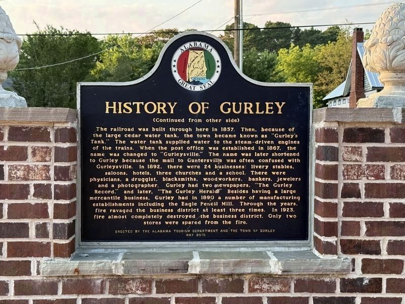
Photographed by Deborah Spencer, June 10*2025
2. History of Gurley Marker (back)

Regionally, this marker is in North Alabama and in the Huntsville Metropolitan Area. It is also in the American South, specifically in the Deep South, in Appalachia, and specifically in Southern Appalachia. Globally, it is in North America, a Gulf of Mexico state, the Western Hemisphere, the Western World, and the Anglosphere. Historically, it finds itself in what was once the original Cherokee Nation, the territory of the Mississippian Culture, one of the Confederate States of America, and the Antebellum South.
Other nearby markers. At least 8 other markers are within 7 miles of this marker, measured as the crow flies: Town of Gurley (approx. 0.2 miles away); Gurley Cemetery (approx. 0.4 miles away); "Wildwood" (approx. one mile away); Clay Cemetery (approx. 1.2 miles away); The History of Paint Rock, Alabama / Paint Rock Arrests in 1931 Began 'Scottsboro Boys' Cases
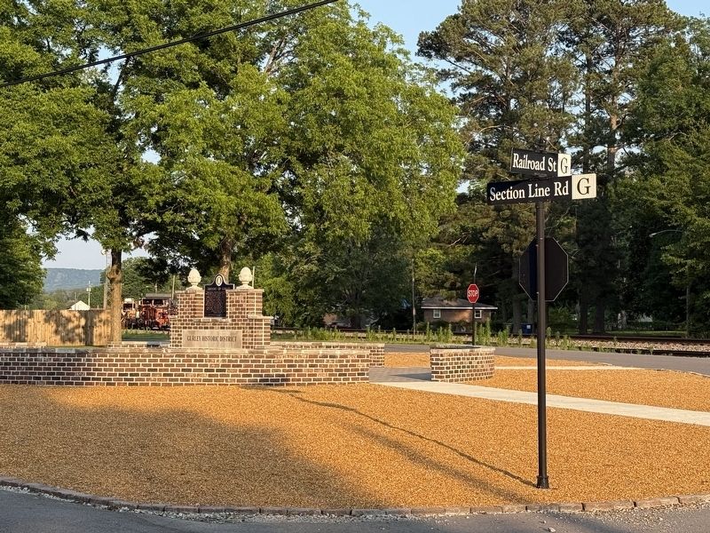
Photographed by Deborah Spencer, June 10, 2025
3. History of Gurley Marker
More about this marker. Marker is in a brick circular monument.
Credits. This page was last revised on June 16, 2025. It was originally submitted on June 13, 2025, by Deborah Spencer of Huntsville, Alabama. This page has been viewed 634 times since then and 87 times this year. Photos: 1, 2, 3. submitted on June 13, 2025, by Deborah Spencer of Huntsville, Alabama. • James Hulse was the editor who published this page.
