Marker Logo
THE HISTORICAL
MARKER DATABASE
“Bite-Size Bits of Local, National, and Global History”
McThronmor Acres in Huntsville in Madison County, Alabama — The American South (East South Central)
 

McThronmor Acres Historic District

Established February 9, 2022
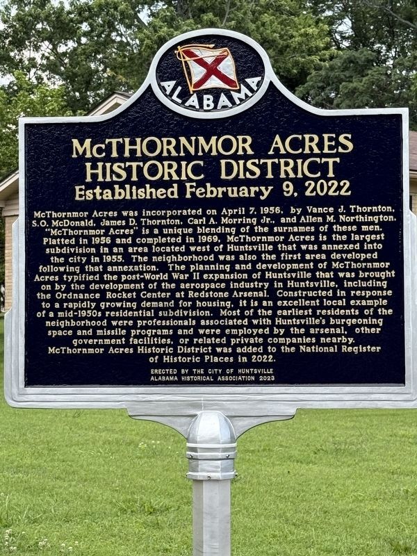
 
 
McThronmor Acres Historic District Marker image. Click for full size.
Photographed by Deborah Spencer, June 12, 2025
1. McThronmor Acres Historic District Marker
Inscription. McThornmor Acres was incorporated on April 7, 1956, by Vance J. Thornton, S.O. McDonald, James D. Thornton, Carl A. Morring Jr., and Allen M. Northington. "McThornmor Acres" is a unique blending of the surnames of these men. Platted in 1956 and completed in 1969, McThornmor Acres is the largest subdivision in an area located west of Huntsville that was annexed into the city in 1955. The neighborhood was also the first area developed following that annexation. The planning and development of McThornmor Acres typified the post-World War II expansion of Huntsville that was brought on by the development of the aerospace industry in Huntsville, including the Ordnance Rocket Center at Redstone Arsenal. Constructed in response to a rapidly growing demand for housing, it is an excellent local example of a mid-1950s residential subdivision. Most of the earliest residents of the neighborhood were professionals associated with Huntsville's burgeoning space and missile programs and were employed by the arsenal, other government facilities, or related private companies nearby. McThornmor Acres Historic District was added to the National
Paid Advertisement
Click or scan to see
this page online
Register of Historic Places in 2022.
 
Erected 2023 by The City of Huntsville and Alabama Historical Assocaition.
 
Topics. This historical marker is listed in this topic list: Notable Places. A significant historical date for this entry is April 7, 1956.
 
Location. 34° 43.659′ N, 86° 37.801′ W. Marker is in Huntsville, Alabama, in Madison County. It is in McThronmor Acres. It is at the intersection of Holmes Ave NW and Woodall Ln, on the right when traveling west on Holmes Ave NW. Touch for map. Marker is in this post office area: Huntsville AL 35816, United States of America. Touch for directions.

Regionally, this marker is in North Alabama. It is also in the American South, specifically in the Deep South, in Appalachia, and specifically in Southern Appalachia. Globally, it is in North America, a Gulf of Mexico state, the Western Hemisphere, the Western World, and the Anglosphere. Historically, it finds itself in what was once the original Cherokee Nation, the territory of the Mississippian Culture, one of the Confederate States of America, and the Antebellum South.

Other nearby markers. At least 8 other markers are within 2
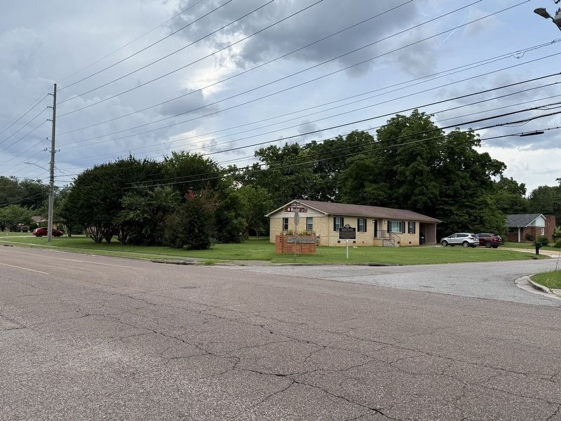
McThronmor Acres Historic District Marker image. Click for full size.
Photographed by Deborah Spencer, June 12, 2025
2. McThronmor Acres Historic District Marker
miles of this marker, measured as the crow flies: McThornmor Acres Historic District (here, next to this marker); Superconductivity Discovery (approx. 0.7 miles away); S.R. Butler High School (approx. 0.7 miles away); The Columns (approx. 1.2 miles away); Ala. Red-Bellied Turtle (approx. 1.3 miles away); The Jesup Wagon (approx. 1.3 miles away); Buffalo Soldiers (approx. 1.3 miles away); S.R. Butler High School / Stone Middle School (approx. 1.4 miles away). Touch for a list and map of all markers in Huntsville.
 
 
Credits. This page was last revised on June 16, 2025. It was originally submitted on June 13, 2025, by Deborah Spencer of Huntsville, Alabama. This page has been viewed 138 times since then and 29 times this year. Photos:   1, 2. submitted on June 13, 2025, by Deborah Spencer of Huntsville, Alabama. • James Hulse was the editor who published this page.

m=275320

CeraNet Cloud Computing sponsors the Historical Marker Database.
This website earns income from purchases you make after using our links to Amazon.com. We appreciate your support.
Paid Advertisement
Jul. 30, 2026