Pueblo Mountain in Harney County, Oregon — The American West (Northwest)
WWII B-24D Crash Site Memorial
In Memory of the Crewmen
| — | B-24 Liberator | — |
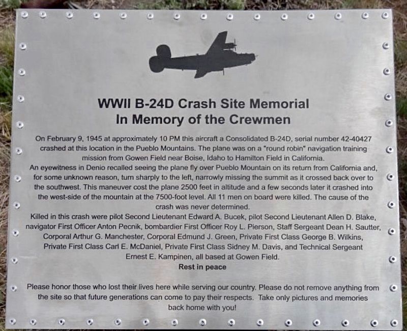
1. B-24 Crash Site Memorial Marker
On February 9, 1945 at approximately 10 PM this aircraft, a Consolidated B-24D, serial number 42-40427, crashed at this location in the Pueblo Mountains. The plane was on a "round robin" navigation training mission from Gowen Field near Boise, Idaho to Hamilton Field in California.
An eyewitness in Denio recalled seeing the plane fly over Pueblo Mountain on its return from California and, for some unknown reason, turn sharply to the left, narrowly missing the summit as it crossed back over to the southwest. This maneuver cost the plane 2500 feet in altitude and a few seconds later it crashed into the west side of the mountain at the 7500-foot level. All 11 men on board were killed. The cause of the crash was never determined.
Killed in this crash were pilot Second Lieutenant Edward A. Bucek, pilot Second Lieutenant Allen D. Blake, navigator First Officer Anton Pecnik, bombardier First Officer Roy L. Pierson, Staff Sergeant Dean H. Sautter, Corporal Arthur G. Manchester, Corporal Edmund J. Green, Private First Class George B. Wilkins, Private First Class Carl E. McDaniel, Private First Class Sidney
this page online
Rest in peace.
Please honor those who lost their lives here while serving our country. Please do not remove anything from the site so that future generations can come to pay their respects. Take only pictures and memories back home with you!
Erected 2012 by Tom Clouse and friends.
Topics. This historical marker and memorial is listed in these topic lists: Air & Space • Disasters • War, World II. A significant historical date for this entry is February 9, 1945.
Location. 42° 5.969′ N, 118° 39.942′ W. Marker is in Pueblo Mountain, Oregon, in Harney County. It can be reached from No nearby road. Located on the west side of Pueblo Mountain at the 7500-foot level. It is in a remote area 8 miles north of Denio, Nevada. Touch for map. Marker is in this post office area: Fields OR 97710, United States of America. Touch for directions.

Regionally, this marker and memorial is in the High Desert and in Eastern Oregon. It is also in the American Mountain West and in the Lewis & Clark Corridor. Globally, it is in North America, on the Pacific Rim,
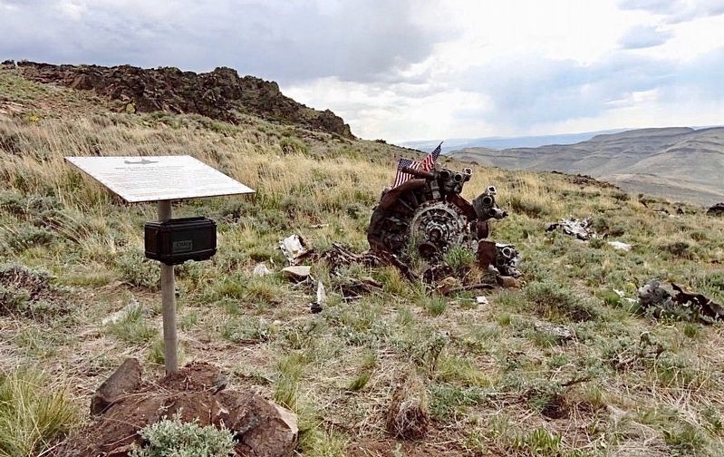
2. B-24 Crash Site and Memorial
Additional keywords. B-24 Liberator, Liberator
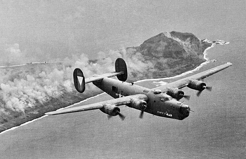
from Wikimedia Commons
3. B-24 Liberator
Credits. This page was last revised on July 28, 2026. It was originally submitted on June 15, 2025, by Craig Baker of Sylmar, California. This page has been viewed 1,069 times since then and 333 times this year. Photos: 1, 2, 3. submitted on June 15, 2025, by Craig Baker of Sylmar, California.
