Woodstock in Windsor County, Vermont — The American Northeast (New England)
Middle Bridge
Photographed by Conrad Ward, November 30, 2024
1. Middle Bridge Marker
over the Ottauquechee River
Woodstock, Vermont
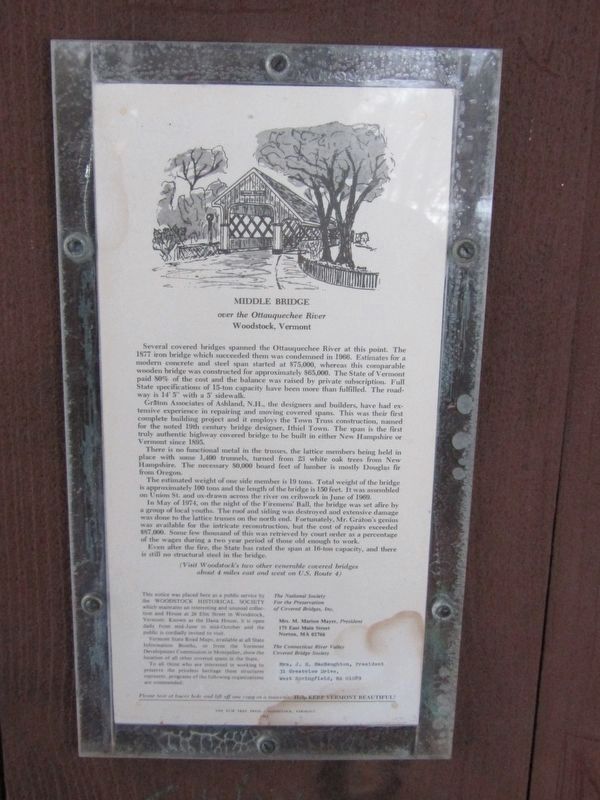
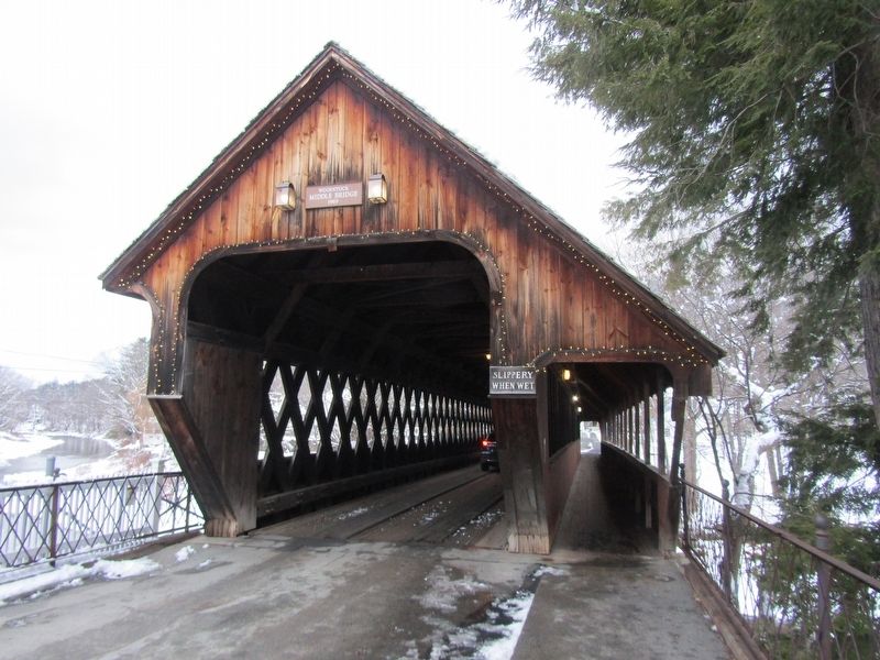
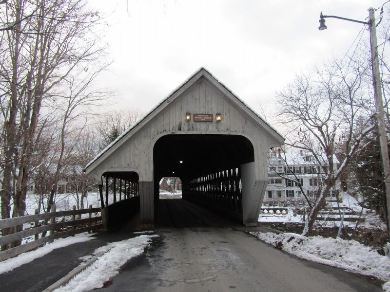
Several covered bridges spanned the Ottauquechee River at this point. The 1877 iron bridge which succeeded them was condemned in 1966. Estimates for a modern concrete and steel span started at $75,000, whereas this comparable wooden bridge was constructed for approximately $65,000. The State of Vermont paid 80% of the cost and the balance was raised by private subscription. Full State specifications of 15-ton capacity have been more than fulfilled. The roadway is 14' 5" with a 5' sidewalk.
Graton Associates of Ashland, N.H., the designers and builders, have had extensive experience in repairing and moving covered spans. This was their first complete building project and it employs the Town Truss construction, named for the noted 19th century bridge designer, Ithiel Town. The span is the first truly authentic highway covered bridge to be built in either New Hampshire or Vermont since 1895.
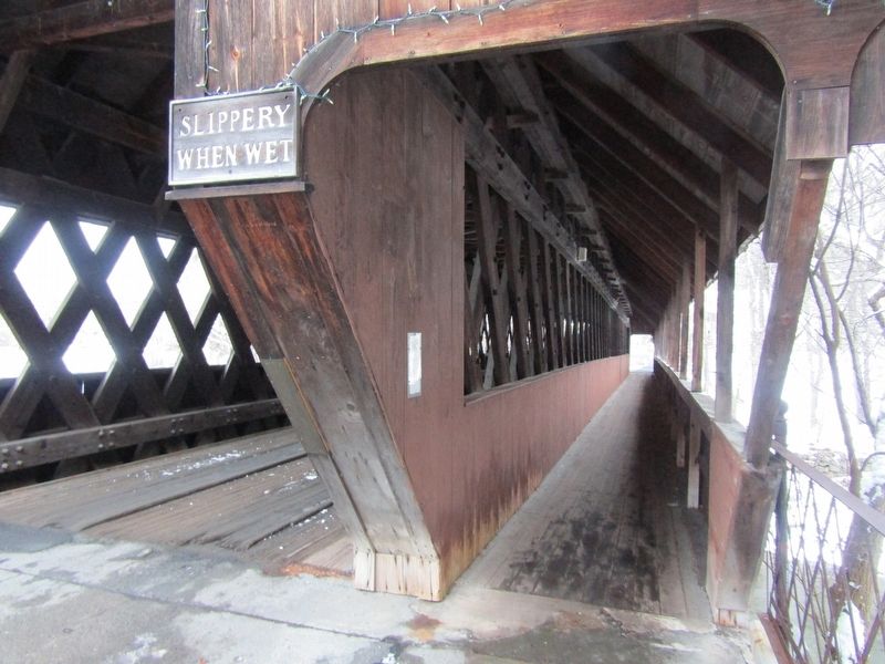
There is no functional metal in the trusses, the lattice members being held in place with some 1,400 trunnels, turned from 23 white oak trees from New Hampshire. The
this page online
The estimated weight of one side member is 19 tons. Total weight of the bridge is approximately 100 tons and the length of the bridge is 150 feet. It was assembled on Union St. and ox-drawn across the river on cribwork in June of 1969.
In May of 1974, on the night of the Firemen’s Ball, the bridge was set afire by a group of local youths. The roof and siding was destroyed and extensive damage was done to the lattice trusses on the north end. Fortunately, Mr. Graton’s genius was available for the intricate reconstruction, but the cost of repairs exceeded $87,000. Some few thousand of this was retrieved by court order as a percentage of the wages during a two-year period of those old enough to work.
Even after the fire, the State has rated the span at 16-ton capacity, and there is still no structural steel in the bridge.
Topics. This historical marker is listed in these topic lists: Bridges & Viaducts • Charity & Public Work • Disasters. A significant historical month for this entry is June 1969.
Location. 43° 37.479′ N,
Photographed by Conrad Ward, November 30, 2024
2. Middle Bridge Marker

Regionally, this marker is in the Connecticut River Valley and in the Green Mountains. It is also in the American Northeast and in New England. Globally, it is in North America, the Western Hemisphere, the Western World, and the Anglosphere. Historically, it finds itself in what was once the Vermont Republic.
Other nearby markers. At least 8 other markers are within walking distance of this marker: The Fitch House (within shouting distance of this marker); Woodstock (within shouting distance of this marker); In Memory of the Revolutionary Soldiers (about 300 feet away, measured in a direct line); Veterans Memorial (about 300 feet away); Lafayette's Tour (about 400 feet away); The White Cupboard Inn (about 500 feet away); Stone Turnpike Marker (about
Photographed by Conrad Ward, November 30, 2024
3. Middle Bridge
Photographed by Conrad Ward, November 30, 2024
4. Middle Bridge Marker
Credits. This page was last revised on June 22, 2025. It was originally submitted on June 15, 2025, by Conrad Ward of Guilford, Connecticut. This page has been viewed 197 times since then and 58 times this year. Photos: 1, 2, 3, 4. submitted on June 15, 2025, by Conrad Ward of Guilford, Connecticut. • Michael Herrick was the editor who published this page.
