
Near Emerald Bay in El Dorado County, California — The American West (Pacific Coastal)
Fannette Island
Photographed by Syd Whittle, August 14, 2010
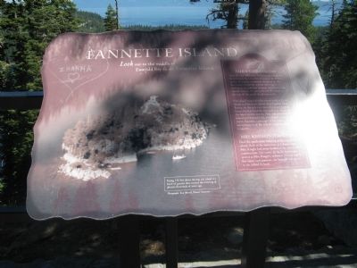
1. Fannette Island Marker
The island inspired other names, such as Dead Man’s and Hermit’s Island after Captain Dick Barter. As the sole caretaker of a nearby resort, Barter lived at Emerald Bay and died in one of the lake’s winter storms. Also called, Baronoffi Island and Emerald Isle, the island’s current name, Fannette, is thought to be a mis-interpretation of the island’s original name Coquette.
Topics. This historical marker is listed in this topic list: Notable Places. A significant historical year for this entry is 1866.
Location. 38° 56.803′ N,
this page online

Regionally, this marker is in California’s Sacramento Metro, in the Sierra Nevada, and in the Lake Tahoe Basin. It is also in the American Mountain West. Globally, it is in North America, on the Ring of Fire, in the Pacific Rim, in the Western Hemisphere, in the Western World, and in the Anglosphere. Historically, it finds itself in what was once New Spain and also Mexico’s Alta California.
Other nearby markers. At least 8 other markers are within 3 miles of this marker, measured as the crow flies: The Hermit of Emerald Bay (here, next to this marker); Vikingsholm – A Scandinavian Castle (a few steps from this marker); Tahoe By Car (a few steps from this marker); Enjoy the View from Inspiration Point (within shouting distance of this marker); Da ow a ga – Lake Tahoe
Photographed by Syd Whittle, August 14, 2010
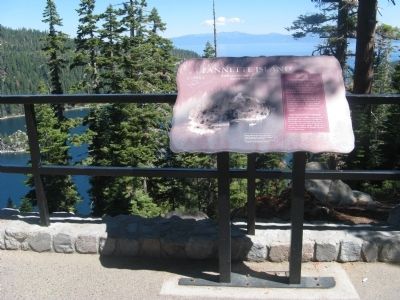
2. Fannette Island Marker
Fannette Island can be seen on the far left.
Also see . . . Fannette Island. California State Parks information on Fannette Island. (Submitted on August 30, 2010.)
Photographed by Syd Whittle, August 14, 2010
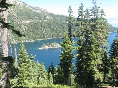
3. Emerald Bay and Fannette Island
Photographed by Syd Whittle, August 14, 2010
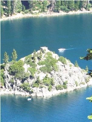
4. Mrs. Knight's Teahouse
The small stone structure at the top of the mountain.
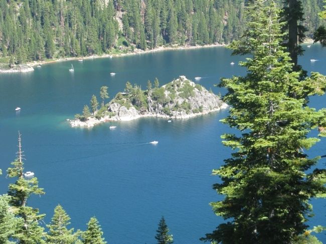
Photographed by Syd Whittle, August 14, 2010
5. Fannette Island
Rising 150 feet above the bay, the island is a knob of granite that resisted the scouring of glaciers thousands of years ago.
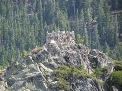
Photographed by Denise Boose, August 7, 2009
6. Fannette Island
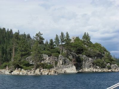
Photographed by Denise Boose, August 7, 2009
7. Fannette Island
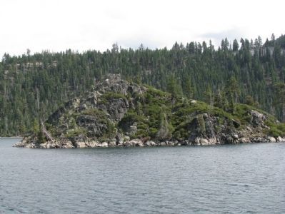
Photographed by Denise Boose, August 7, 2009
8. Fannette Island
Credits. This page was last revised on June 27, 2025. It was originally submitted on August 30, 2010, by Syd Whittle of Mesa, Arizona. This page has been viewed 1,787 times since then and 183 times this year. Last updated on June 15, 2025, by Connor Olson of Menomonee Falls, Wisconsin. Photos: 1, 2, 3, 4, 5. submitted on August 30, 2010, by Syd Whittle of Mesa, Arizona. 6, 7, 8. submitted on May 20, 2012, by Denise Boose of Tehachapi, California. • Devry Becker Jones was the editor who published this page.
