
Johns Island in Charleston County, South Carolina — The American South (South Atlantic)
New Bethel African Methodist Episcopal Church
Photographed by Diane Murphy, June 2, 2025
1. New Bethel African Methodist Episcopal Church Marker, Side One
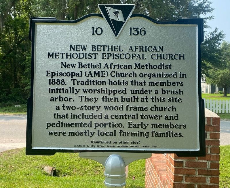
New Bethel African Methodist Episcopal (AME) Church organized in 1888. Tradition holds that members initially worshipped under a brush arbor. They then built at this site a two-story wood frame church that included a central tower and pedimented portico. Early members were mostly local families.
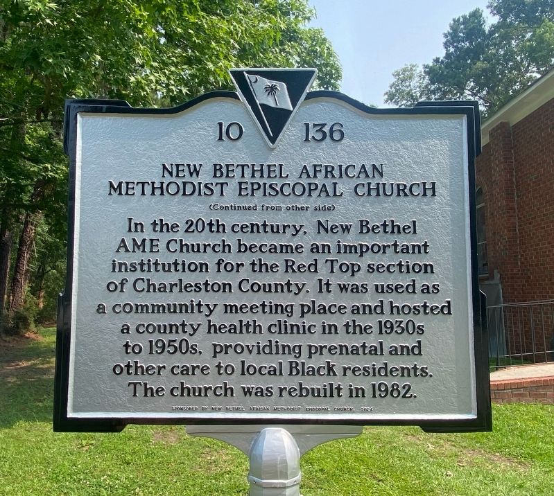
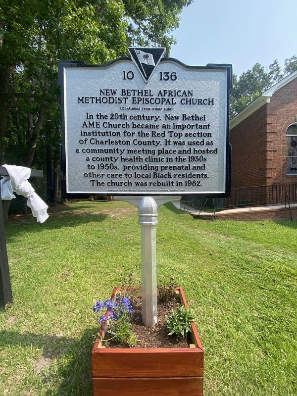
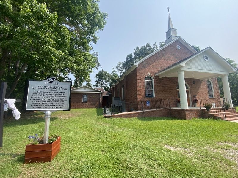
In the 20th century, New Bethel AME Church became an important institution for the Red Top section of Charleston County. It was used as a community meeting place and hosted a county health clinic in the 1930s to 1950s, providing prenatal and other care to local Black residents. The church was rebuilt in 1982.
Erected 2024 by New Bethel African Methodist Episcopal Church. (Marker Number 10 136.)
Topics and series. This historical marker is listed in these topic lists: African Americans • Religion & Religious Structures. In addition, it is included in the African Methodist Episcopal (AME) Church series list. A significant historical year for this entry is 1888.
Location. 32° 48.123′ N, 80° 7.14′ W. Marker is on Johns Island, South Carolina, in Charleston County. It is on Old Charleston Road 0.2 miles east of James Bay
this page online

Regionally, this marker is in the Lowcountry. It is also in the American South, specifically in the Deep South, and on the Eastern Seaboard. Globally, it is in the North Atlantic Region, North America, the Western Hemisphere, the Western World, and the Anglosphere. Historically, it finds itself in what was once the territory of the Mississippian Culture, one of the original Thirteen Colonies, one of the Confederate States of America, and the Antebellum South.
Other nearby markers. At least 8 other markers are within 5 miles of this marker, measured as the crow flies: St. Mark’s Union Methodist Episcopal Church (approx. 0.4 miles away); Grave Of Colonel William A. Washington (approx. 1.1 miles away); The Stono Rebellion (1739) (approx. 2 miles away); Belvidere School Site (approx. 2.3 miles away); Ashley River Region (approx. 4½ miles away); a different marker also named St. Andrew’s Parish Church (approx. 4.7 miles away); Skirmish at St. Andrew’s Parish Church
Photographed by Diane Murphy, June 2, 2025
2. New Bethel African Methodist Episcopal Church Marker, Side Two
Another marker is no longer nearby. St. Andrew’s Parish Church (was approx. 4.7 miles away but has been replaced with another marker now near it).

Photographed by Diane Murphy, June 2025
3. New Bethel African Methodist Episcopal Church Marker
Photographed by Diane Murphy, June 2025
4. New Bethel African Methodist Episcopal Church Marker
Photographed by Diane Murphy, June 2025
5. New Bethel African Methodist Episcopal Church Marker

Photographed by Diane Murphy, June 2025
6. New Bethel African Methodist Episcopal Church Marker
Credits. This page was last revised on June 16, 2025. It was originally submitted on June 15, 2025, by Diane Murphy of Saint Cloud, Florida. This page has been viewed 189 times since then and 52 times this year. Photos: 1, 2, 3, 4, 5, 6. submitted on June 15, 2025, by Diane Murphy of Saint Cloud, Florida. • Bernard Fisher was the editor who published this page.
