Near McHenry in Garrett County, Maryland — The American Northeast (Mid-Atlantic)
Sang Run State Park
Photographed by Bradley Owen, June 12, 2025
1. Sang Run State Park Marker
Information
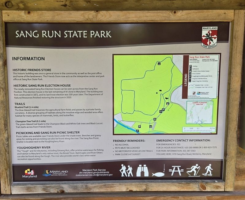
Historic Friends Store
This historic building was once a general store in the community as well as the post office and home of the landowners. The Friends Store now acts as the interpretive center and park office at Sang Run State Park.
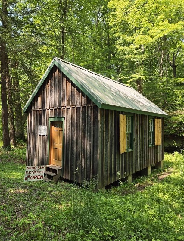
Historic Sang Run Election House
The newly renovated Sang Run Election house can be seen across from the Sang Run Pavilion. This election house is the last remaining of it's kind in Maryland. The building was first constructed in 1872, and its last know election was 100 years later. The Department of Natural Resources finished restoring the structure in 2020.
Trails
Bluebird Trail (1.4 mile)
The blue-blazed trail traverses the agricultural farm fields and passes by a private family cemetery. A diverse grouping of habitats along the meadow edge and wooded area offers habitat for many species of mammals, birds, and butterflies.
Champion Tree Trail (0.1 mile)
The green-blazed trail leads to the Champion Black and White Oak trees and Black Locust. Trail starts across from Friends Store.
Picnicking and Sang Run Picnic Shelter
Picnic tables are available
this page online
Youghiogheny River
The "Yough" and its tributaries, including Ginseng Run, offer pristine waterways for fishing and habitat to Maryland's only native trout, the Brook Trout. Bald Eagles and River Otters can also be found along the Yough. The river also provides world-class white water recreation opportunities.
Erected by Maryland Park Service.
Topics. This historical marker is listed in these topic lists: Government & Politics • Notable Buildings. A significant historical year for this entry is 1872.
Location. 39° 34.05′ N, 79° 25.417′ W. Marker is near McHenry, Maryland, in Garrett County. It is on Sang Run Road just south of Oakland Sang Run Road, on the right when traveling south. Marker is located in the parking lot for Sang Run State Park. Touch for map. Marker is at or near this postal address: 3735 Sang Run Road, Mc Henry MD 21541, United States of America. Touch for directions.

Regionally, this marker is in Western
Photographed by Bradley Owen, June 12, 2025
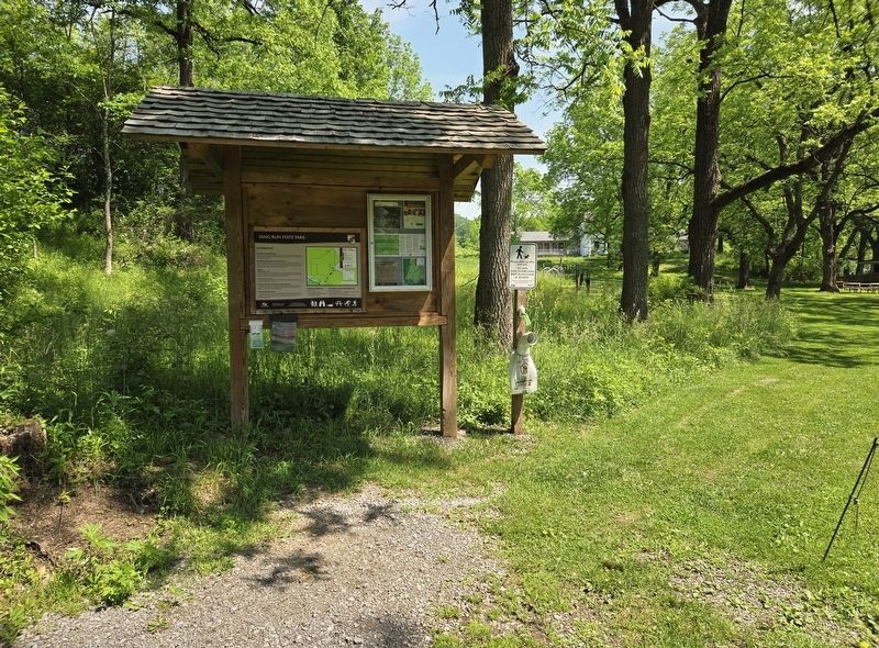
2. Sang Run State Park Marker
Other nearby markers. At least 8 other markers are within 4 miles of this marker, measured as the crow flies: Sang Run Election House (about 500 feet away, measured in a direct line); Whitewater Boating on the Upper Youghiogheny River (approx. 0.2 miles away); The Grave of Meshack Browning (approx. 3.2 miles away); The National Road (approx. 3½ miles away); Western Maryland (approx. 3½ miles away); An Attraction for Visitors (approx. 3½ miles away); Wisp Ski Resort (approx. 3.9 miles away); Deep Creek Volunteer Fire Company (approx. 4 miles away). Touch for a list and map of all markers in McHenry.
Other markers no longer nearby. Gettysburg Campaign (was approx. 3½ miles away but has been replaced with another marker now near it); a different marker also named The National Road (was approx. 3½ miles away but has been replaced with
Photographed by Bradley Owen, June 12, 2025
3. Historic Sang Run Election House
Located 0.1 mile south of the State Park parking lot on Sang Run Road.
Credits. This page was last revised on June 16, 2025. It was originally submitted on June 16, 2025, by Bradley Owen of Morgantown, West Virginia. This page has been viewed 188 times since then and 48 times this year. Photos: 1, 2, 3. submitted on June 16, 2025, by Bradley Owen of Morgantown, West Virginia.
