
McHenry in Garrett County, Maryland — The American Northeast (Mid-Atlantic)
Meshach Browning
| — | Hidden Heritage of Garrett County | — |
Photographed by Bradley Owen, June 12, 2025
1. Meshach Browning Marker
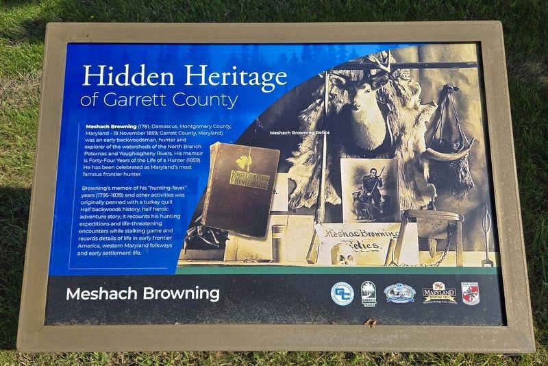
Meshach Browning (1781, Damascus, Montgomery County, Maryland - 19 November 1859, Garrett County, Maryland) was an early backwoodsman, hunter and explorer of the watersheds of the North Branch Potomac and Youghiogheny Rivers. His memoir is Forty-Four Years of the Life of a Hunter (1859). He has been celebrated as Maryland's most famous frontier hunter.
Browning's memoir of his "hunting-fever" years (1795-1839) and other activities was originally penned with a turkey quill. Half backwoods history, half heroic adventure story, it recounts his hunting expeditions and life-threatening encounters while stalking game and records details of life in early frontier America, western Maryland folkways and early settlement life.
Erected 2022 by Garrett College.
Topics. This historical marker is listed in these topic lists: Arts, Letters, Music • Settlements & Settlers. A significant historical date for this entry is November 19, 1859.
Location. 39° 33.594′ N, 79° 20.63′ W. Marker is in McHenry, Maryland, in Garrett County. It is on Mosser Road east of Allen S. Paugh Sr. Road, on the left when traveling east. Marker is located on the
this page online

Regionally, this marker is in the Baltimore Metro Region and in Western Maryland. It is also in the American Mid-Atlantic, in Appalachia, and specifically in Northern Appalachia. Globally, it is in North America, the Western Hemisphere, the Western World, and the Anglosphere. Historically, it finds itself in what was once one of the original Thirteen Colonies.
Other nearby markers. At least 8 other markers are within walking distance of this marker: Performing Arts & Culture (about 500 feet away, measured in a direct line); Agriculture and Farming (approx. 0.2 miles away); African American History (approx. 0.4 miles away); Wisp Ski Resort (approx. 0.4 miles away); Deep Creek Volunteer Fire Company (approx. half a mile away); In Honor and Remembrance (approx. half a mile away); Boats of Deep Creek Lake (approx. 0.6 miles away); An Attraction for Visitors (approx. 0.8 miles away). Touch for a list and map of all
Photographed by Bradley Owen, June 12, 2025
2. Meshach Browning Marker
Another marker is no longer nearby. The National Road (was approx. 0.8 miles away but has been replaced with another marker now near it).
Photographed by Bradley Owen, June 12, 2025
3. The Mosser Road Trail Trailhead Marker
Garrett County Heritage
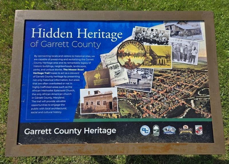
By connecting locals and visitors to historical sites, we are capable of preserving and revitalizing the Garrett County Heritage area and its remarkable legacy of historic buildings, neighborhoods, landscapes, parks, and unique stories. The Mosser Road Heritage Trail hopes to act as a steward of Garrett County heritage by presenting not only historical information, but areas that are often overlooked or not in highly trafficked areas such as the African Methodist Episcopal Church, the only African American church in Garrett County, Maryland. The trail will provide valuable opportunities to engage the public with local architectural, social and cultural history.
Photographed by Bradley Owen, June 12, 2025
4. Garrett County Heritage Marker
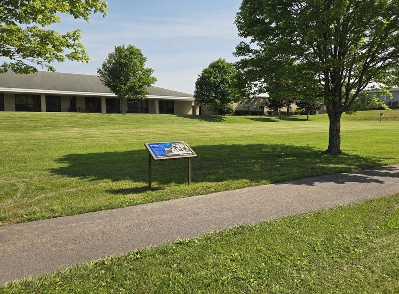
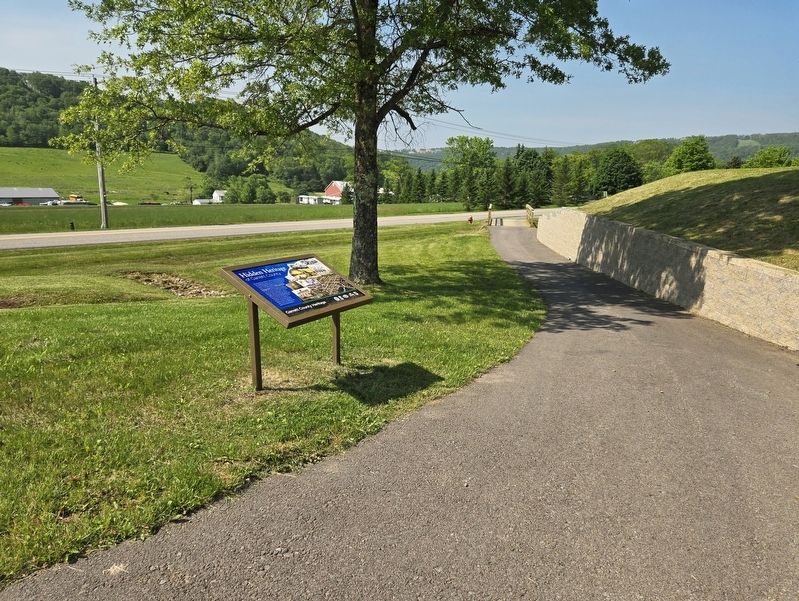
Located on the campus of Garrett College at the trailhead of The Mosser Road Heritage Trail.
Credits. This page was last revised on June 18, 2025. It was originally submitted on June 16, 2025, by Bradley Owen of Morgantown, West Virginia. This page has been viewed 117 times since then and 17 times this year. Photos: 1, 2, 3, 4. submitted on June 18, 2025, by Bradley Owen of Morgantown, West Virginia.
