Hampton-Pinckney in Greenville in Greenville County, South Carolina — The American South (South Atlantic)
Mattoon Presbyterian Church
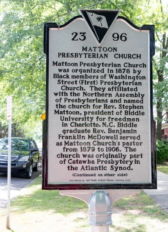
Photographed by J. J. Prats, May 18, 2025
1. Mattoon Presbyterian Church Marker, Side One
The two-story brick building at this site was constructed in circa 1887 and was Mattoon’s first permanent place of worship. It is one of the oldest historically Black church buildings in Greenville and originally had a central steeple. The congregation included approx. 50 communicant members around 1900. Mattoon Church also maintained a parochial school that served Black families from around the community, including non-members. The school closed in circa 1930.
Erected 2022 by Department of Archives and History. Sponsored by Mattoon Presbyterian Church. (Marker Number 23-96.)
Topics. This historical marker is listed
this page online
Location. 34° 51.397′ N, 82° 24.453′ W. Marker is in Greenville, South Carolina, in Greenville County. It is in Hampton-Pinckney. It is at the intersection of Hampton Avenue and Lloyd Street, on the left when traveling north on Hampton Avenue. It is between the sidewalk and the curb, in front of the church. Touch for map. Marker is at or near this postal address: 415 Hampton Ave, Greenville SC 29601, United States of America. Touch for directions.

Regionally, this marker is in Upstate. It is also in the American South, specifically in the Deep South, in Appalachia, and specifically in Southern Appalachia. Globally, it is in North America, the Western Hemisphere, the Western World, and the Anglosphere. Historically, it finds itself in what was once the original Cherokee Nation, the territory of the Mississippian Culture, one of the original Thirteen Colonies, one of the Confederate States of America, and the Antebellum South.
Other nearby markers. At least 8 other markers are within

Photographed by J. J. Prats, May 18, 2025
2. Mattoon Presbyterian Church Marker, Side Two
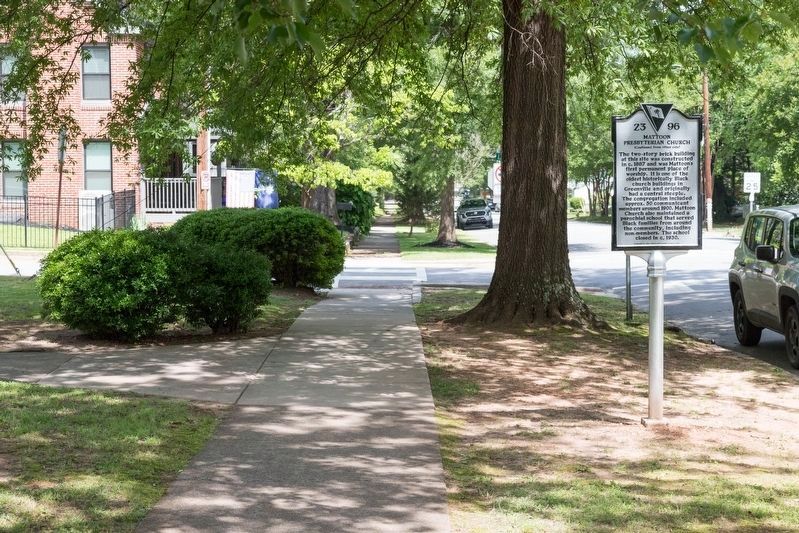
Photographed by J. J. Prats, May 18, 2025
3. Mattoon Presbyterian Church Marker
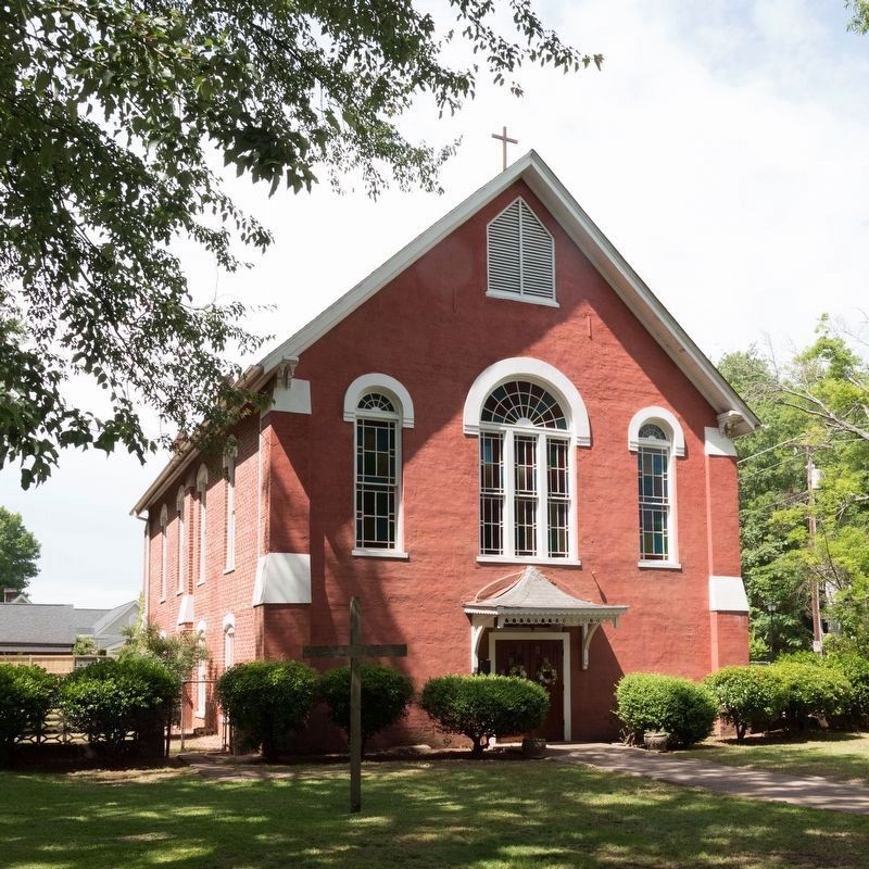
Photographed by J. J. Prats, May 18, 2025
4. Mattoon Presbyterian Church, Greenville, South Carolina
Credits. This page was last revised on June 17, 2025. It was originally submitted on June 17, 2025, by J. J. Prats of Powell, Ohio. This page has been viewed 126 times since then and 38 times this year. Photos: 1, 2, 3, 4. submitted on June 17, 2025, by J. J. Prats of Powell, Ohio.
