Bremen-Mitte in Mitte, Germany — Central Europe
Ansgarikirchhof
⎯⎯⎯
Ansgarii Church Square
Photographed by Andrew Ruppenstein, May 18, 2025
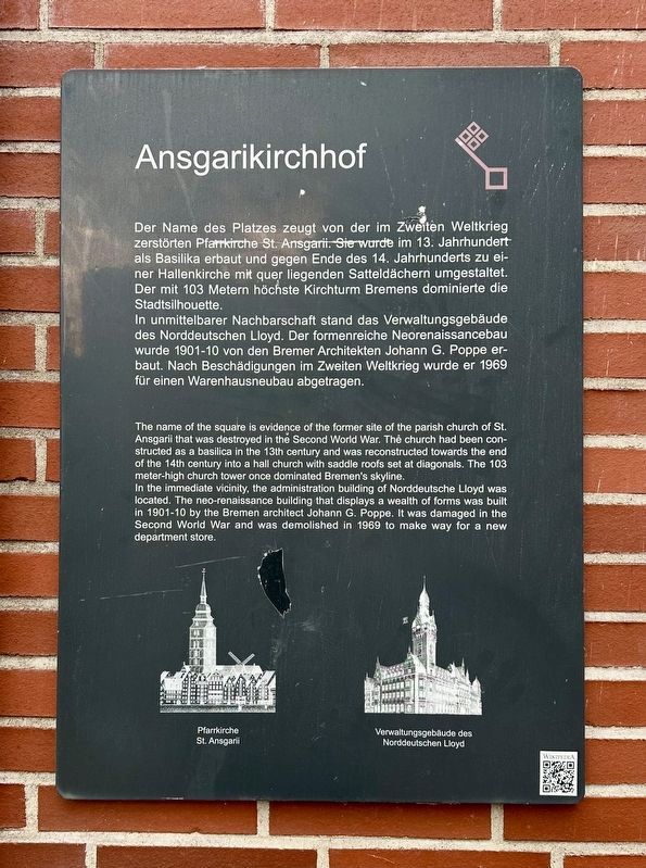
1. Ansgariikirchhof / Ansgarii Church Square Marker

Der Name des Platzes zeugt von der im Zweiten Weltkrieg zerstörten Pfarrkirche St. Ansgarii. Sie wurde im 13. Jahrhundert als Basilika erbaut und gegen Ende des 14. Jahrhunderts zu einer Hallenkirche mit quer liegenden Satteldächern umgestaltet. Der mit 103 Metern höchste Kirchturm Bremens dominierte die Stadtsilhouette.
In unmittelbarer Nachbarschaft stand das Verwaltungsgebäude des Norddeutschen Lloyd. Der formenreiche Neorenaissancebau wurde 1901-10 von den Bremer Architekten Johann G. Poppe erbaut. Nach Beschädigungen im Zweiten Weltkrieg wurde er 1969 für einen Warenhausneubau abgetragen.
The name of the square is evidence of the former site of the parish church of St. Ansgarii that was destroyed in the Second World War. The church had been constructed as a basilica in the 13th century and was reconstructed towards the end of the 14th century into a hall church with saddle roofs set at diagonals. The 103 meter-high church tower once dominated Bremen's skyline.
In the immediate vicinity, the administration building of Norddeutsche Lloyd was located.
this page online
Topics and series. This historical marker is listed in these topic lists: Industry & Commerce • Religion & Religious Structures • War, World II. In addition, it is included in the Bremen Red Key series list. A significant historical year for this entry is 1969.
Location. 53° 4.735′ N, 8° 48.195′ E. Marker is in Bremen, in Mitte. It is in Bremen-Mitte. It is at the intersection of Ansgarikirchhof and Ansgaritorswallstrasse, on the right when traveling north on Ansgarikirchhof. The marker is located in the northeast corner of the square. Touch for map. Marker is at or near this postal address: Ansgarikirchhof 21, Bremen 28195, Germany. Touch for directions.

Regionally, it is in Europe, the European Union, Atlantic Europe, Central Europe, the Schengen Area, Western Europe, and the Western World. Historically, it finds itself in what was once the Holy Roman Empire and also the former West Germany.
Photographed by Andrew Ruppenstein, May 18, 2025
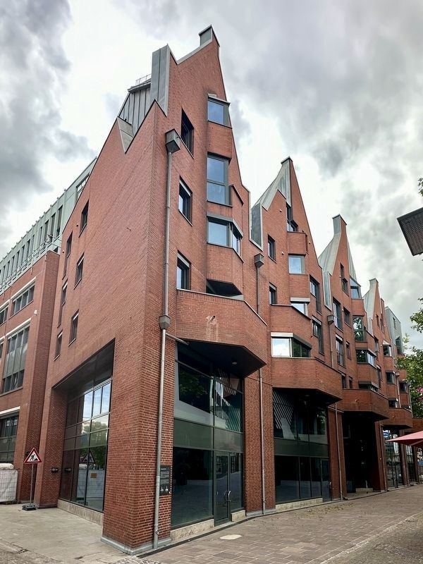
2. Ansgarikirchhof / Ansagarii Church Square Marker - wide view
Other nearby markers. At least 8 other markers are within walking distance of this marker: St. Ansgarii Kirche / St. Ansgarii Church (a few steps from this marker); Der Gauß’che Punkt / The Gaussian Point (within shouting distance of this marker); Lehrgebäude / Instructional Building (approx. 0.2 kilometers away); Wallmühle / Wall Mill (approx. 0.3 kilometers away); Windmühle am Wall / Windmill on the Wall (approx. 0.3 kilometers away); Dörrbecker Haus (approx. 0.3 kilometers away); Ronning-Haus (approx. 0.3 kilometers away); Geschäftshaus / Business and Office Building (approx. 0.4 kilometers away). Touch for a list and map of all markers in Bremen.
Photographed by Andrew Ruppenstein, May 18, 2025
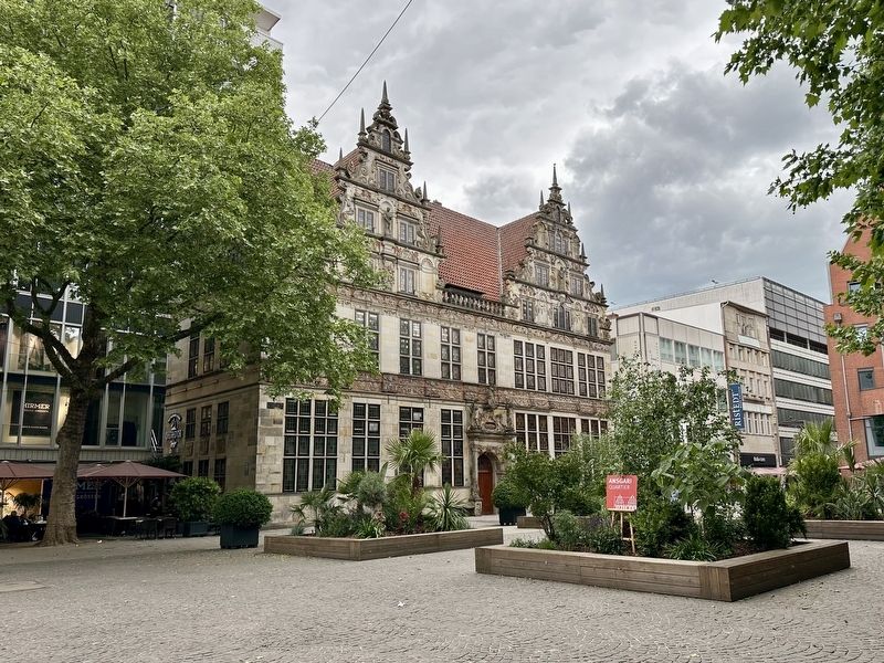
3. Ansgarikirchhof / Ansgarii Church Square - looking northwest across the square
Note that the building visible here has a couple of historical markers, however they are indoors in the lobby.
Credits. This page was last revised on July 5, 2025. It was originally submitted on June 17, 2025, by Andrew Ruppenstein of Lamorinda, California. This page has been viewed 93 times since then and 18 times this year. Photos: 1, 2, 3. submitted on June 17, 2025, by Andrew Ruppenstein of Lamorinda, California. • Bill Pfingsten was the editor who published this page.
