Hastings in Trent Hills in Northumberland County, Ontario — Central Canada (North America)
Hastings Cenotaph
Photographed by Tim Boyd, June 7, 2025
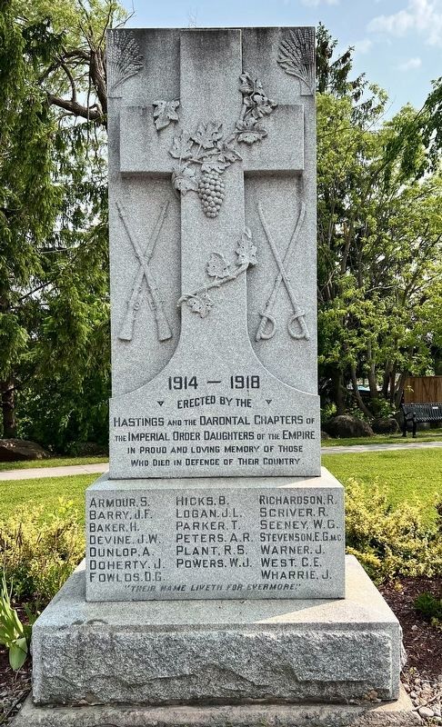
1. Hastings Cenotaph
1914 - 1918
Erected by the Hastings and the Darontal chapters of the Imperial Order Daughters of the Empire.
In proud and loving memory of those who died in defence of their country
Armour, S. · Hicks, B. · Logan, J.L. · Parker, T. · Barry, J.F. · Baker, H. · Devine, J.W. · Dunlop, A. · Fowlds, D.G. · Richardson, R. · Scriver. R. · Seeney, W.G. · Warner, J. · Peters, A.R. · Stevenson, E.G. M.C. · Plant, R.S. · West, C.E. · Wharrie, J. · Doherty, J. · Powers. W.J.
"Their name liveth for evermore.”
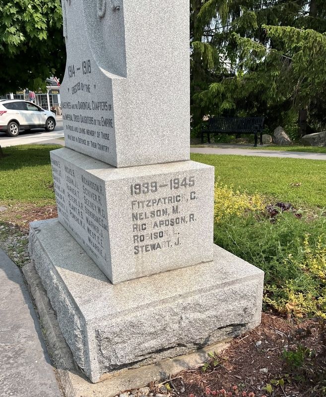
1939-1945
Fitzpatrick, C. · Nelson, M. · Richardson, R. · Robison, L. · Stewart, J.
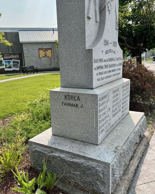
Korea
Fairman, J.
Erected by International Order of the Daughters of the Empire.
Topics. This memorial is listed in these topic lists: War, Korean • War, World I • War, World II.
Location. 44° 18.556′ N, 77° 57.411′ W. Memorial is in Trent Hills, Ontario, in Northumberland County. It is in Hastings. It is at the intersection of Bridge Street North and Front Street West, on the right when traveling south on Bridge Street North. Touch for map. Memorial is at or near this postal address: 4 Bridge St N, Trent Hills ON K0L 0B1, Canada. Touch for directions.

Regionally, this memorial is in the Kawarthas Northumberland Area and in Eastern Ontario. It is also in Central Canada. Globally, it is in North America, on the Great Lakes, in the Western Hemisphere, in the Western World, and in the Anglosphere. Historically, it finds itself in what was once a British colony, the Viceroyalty of New France, the Haudenosaunee (Iroquois) Confederacy, and Rupert’s Land.
Other nearby markers. At least 8 other markers are within 18 kilometers of this marker, measured as the crow flies: The Founding of Hastings
this page online
Photographed by Tim Boyd, June 7, 2025
2. Hastings Cenotaph, west side
Photographed by Tim Boyd, June 7, 2025
3. Hastings Cenotaph, east side
Photographed by Tim Boyd, June 7, 2025
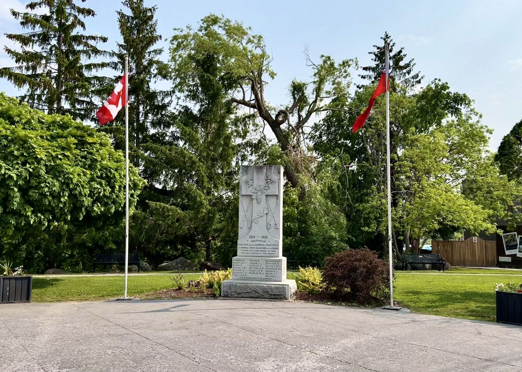
4. Hastings Cenotaph
Credits. This page was last revised on June 19, 2025. It was originally submitted on June 18, 2025, by Tim Boyd of Hamilton, Ontario. This page has been viewed 125 times since then and 30 times this year. Photos: 1, 2, 3, 4. submitted on June 18, 2025, by Tim Boyd of Hamilton, Ontario. • Andrew Ruppenstein was the editor who published this page.
