Fort Totten in Queens in Queens County, New York — The American Northeast (Mid-Atlantic)
638 Totten Ave.
Constructed in 1938-39
Original use: Fort Totten Chapel
Current use: Community Functions
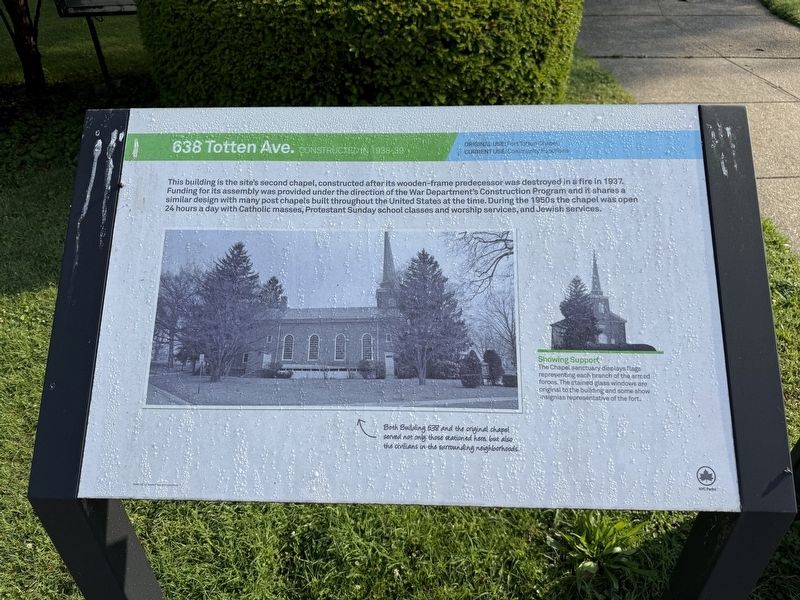
This building is the site's second chapel, constructed after its wooden-frame predecessor was destroyed in a fire in 1937. Funding for its assembly was provided under the direction of the War Department's Construction Program and it shares a similar design with many post chapels built throughout the United States at the time. During the 1950s the chapel was open 24 hours a day with Catholic masses, Protestant Sunday school classes and worship services, and Jewish services.
[Captions:]
Showing Support
The Chapel sanctuary displays flags representing each branch of the armed forces. The stained glass windows are original to the building and some show insignias representative of the fort.
Both Building 638 and the original chapel served not only those stationed here, but also civilians in the surrounding neighborhoods.
Erected by NYC Parks.
Topics and series. This historical marker is listed in these topic lists: Forts and Castles • Religion & Religious Structures. In addition, it is included in the NYC Parks series list. A significant historical year for this entry is 1937.
Location. 40° 47.562′ N,
this page online

Regionally, this marker is in New York City and on Long Island. It is also in the American Northeast, in the Mid-Atlantic, and on the Eastern Seaboard. Globally, it is in the North Atlantic Region, North America, the Western Hemisphere, the Western World, and the Anglosphere. Historically, it finds itself in what was once New Netherland and also one of the original Thirteen Colonies.
Other nearby markers. At least 8 other markers are within walking distance of this marker: 207 Totten Ave. (a few steps from this marker); 208 Totten Ave. (within shouting distance of this marker); Fort Totten (about 300 feet away, measured in a direct line); Thorne-Wilkins Cemetery (about 300 feet away); 422 Weaver Ave. (about 400 feet away); Battery King (about 700 feet away); Parade Ground (approx. 0.2 miles away); 322 Story Ave.
By Devry Becker Jones (CC0), June 8, 2025
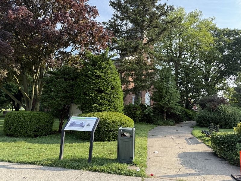
2. 638 Totten Ave. Marker. Building 638 stands behind the trees.
Credits. This page was last revised on June 19, 2025. It was originally submitted on June 19, 2025, by Devry Becker Jones of Washington, District of Columbia. This page has been viewed 239 times since then and 44 times this year. Photos: 1, 2, 3. submitted on June 19, 2025, by Devry Becker Jones of Washington, District of Columbia.
