
Falaise in Calvados, Normandy, France — Western Europe
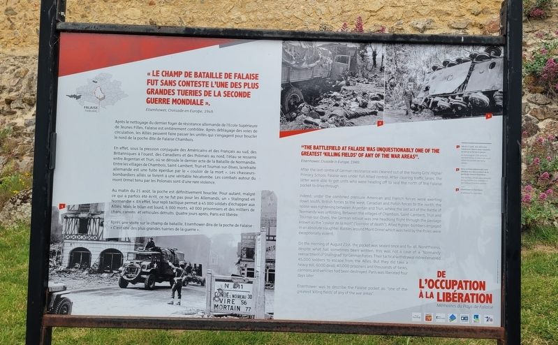
Le champ de bataille de Falaise
⎯⎯⎯
The Battlefield at Falaise
Photographed by James Hulse, June 2, 2025
1. Le champ de bataille de Falaise / The Battlefield at Falaise Marker

De l’Occupation à la Libération, Mémoires du Pays de Falaise
"Le champ de bataille de Falaise fut sans aucun doute l’un des plus grands 'champs de massacre' de toutes les zones de guerre."
Eisenhower, Croisade en Europe, 1949.
Après le nettoyage du dernier foyer de résistance allemande de l'Ecole Supérieure de Jeunes Filles, Falaise est entièrement contrôlée. Après déblayage des voies de circulation, les Alliés peuvent faire passer les unités qui s'engagent pour boucler le nord de la poche dite de Falaise Chambois.
En effet, sous la pression conjuguée des Américains et des Français au sud, des Britanniques à l'ouest, des Canadiens et des Polonais au nord, l'étau se resserre entre Argentan et Trun, où se déroule le dernier acte de la Bataille de Normandie. Entre les villages de Chambois, Saint-Lambert, Trun et Tournai-sur-Dives, la retraite allemande est une fuite éperdue par le «couloir de la mort». Les chasseurs-bombardiers alliés se livrent à une véritable hécatombe. Les combats autour du mont Ormel tenu par les Polonais sont d'une rare violence.
Au matin du 21 août, la poche est définitivement bouclée. Pour autant, malgré ce qui a parfois été écrit, ce ne fut pas pour les Allemands, un «Stalingrad en Normandie». En effet, leur repli tactique permet à 45 000 soldats d'échapper aux Alliés. Mais le bilan est lourd, 6 000 morts, 40 000 prisonniers et des milliers de chars, canons et véhicules détruits. Quatre jours après, Paris est libérée.
Après une visite sur le champ de bataille, Eisenhower dira de la poche de Falaise: «C'est une des plus grandes tueries de la guerre».
Légendes
(Photo #1) Dès le 17 août, des véhicules traversent Falaise pour rejoindre le sud où se ferme la poche.
(Photo #2) Deux armées allemandes sont défaites lors des combats de la poche de Falaise-Chambois.
(Photo #3) Eisenhower à Chambois.
From Occupation to Liberation, Memories of the Falaise Region
"The battlefield at Falaise was unquestionably one of the greatest 'killing fields' of any war zone."
Eisenhower, Crusade in Europe, 1949.
After the last centre of German resistance was cleaned out of the Young Girls' Higher Primary School, Falaise was under full Allied control. After clearing traffic lanes, the latter were able to get units who were heading off to seal the north of the Falaise pocket to drive through.
Indeed, under the combined pressure American and French forces were exerting down south, British forces to the west, Canadian and Polish forces to the north, the noose was tightening between Argentan and Trun, where the last act of the Battle of Normandy was unfolding. Between the villages of Chambois, Saint-Lambert, Trun and Tournai-sur-Dives, the German retreat was one headlong flight through the passage known as the "couloir de la mort" ("corridor of death"). Allied fighter-bombers engaged in an absolute slaughter. Battles around Mont Ormel which was held by the Poles were exceptionally violent.
On the morning of August 21st, the pocket was sealed once and for all. Nonetheless, despite what has sometimes been written, this was not a case of a "Normandy reenactment of Stalingrad" for German forces. Their tactical withdrawal indeed enabled 45,000 soldiers to escape from the Allies. But they did take a heavy toll, 6000 dead, 40,000 prisoners and thousands of tanks, cannons and vehicles had been destroyed. Paris was liberated four days later.
Eisenhower was to describe the Falaise pocket as: "one of the greatest 'killing fields' of any of the war areas".
Captions
(Photo #1) As from August 17th, vehicles crossed Falaise to reach the south where the pocket was being closed.
(Photo #2) Two German armies were defeated during battles that unfolded in the Falaise-Chambois pocket.
(Photo #3) Eisenhower in Chambois.
Erected by Mairie
this page online
Topics. This historical marker is listed in this topic list: War, World II. A significant historical date for this entry is August 21, 1949.
Location. 48° 53.585′ N, 0° 12.133′ W. Marker is in Falaise, Normandie (Normandy), in Calvados. It is at the intersection of Rue de la Porte du Château and Route D511, on the right when traveling west on Rue de la Porte du Château. The marker is located on the south side of the Château Guillaume-le-Conquérant near the parking lot. Touch for map. Marker is in this post office area: Falaise, Normandie 14700, France. Touch for directions.

Regionally, it is in the North Atlantic Region, Europe, the European Union, Atlantic Europe, the Schengen Area, Western Europe, a coastal Mediterranean country, and the Western World. Historically, it finds itself in what was once a French colony and also the Roman Empire.
Other nearby markers. At least 8 other markers are within walking distance of this marker: Objectif Falaise / Objective Falaise (here, next to this marker); La Basse Cour / The Lower Yard
Photographed by James Hulse, June 2, 2025
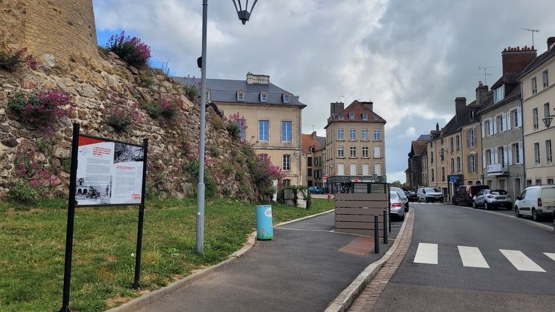
2. The view of the marker along the street
Photographed by James Hulse, June 2, 2025
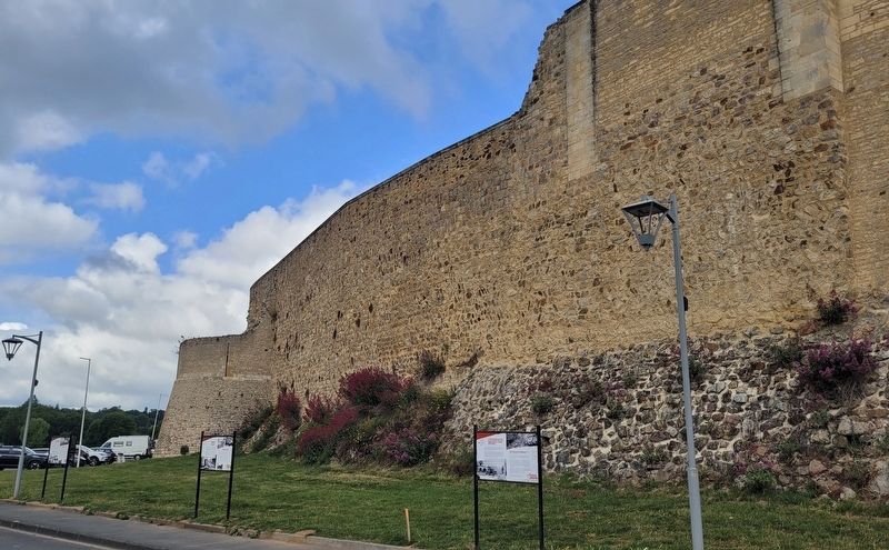
3. The view of the marker along the street with the other markers
Credits. This page was last revised on June 19, 2025. It was originally submitted on June 19, 2025, by James Hulse of Medina, Texas. This page has been viewed 109 times since then and 15 times this year. Photos: 1, 2, 3. submitted on June 19, 2025, by James Hulse of Medina, Texas.
