
Holladay Cottonwood in Salt Lake City in Salt Lake County, Utah — The American Mountains (Southwest)
Blind Miner of the Wasatch
James LeRoy "Roy" Newman (1894-1974)

Photographed by Jeremy Snow, June 18, 2025
1. Blind Miner of the Wasatch Marker
The belief that rich lead, zinc, and silver ores lay deep in the mountain kept Roy working; he did encounter low-grade veins of ore. He drove 1,600 feet using only hand-held drills, a four-pound hammer, explosives, and his ingenuity.
Though blind, Roy could faintly detect light in the corner of one eye and he used this ability to keep the mine workings straight. Roy would set a carbide lamp in the middle of the track, several hundred feet from the mine's working face. Then he would stand a pick, with its handle up, in the track a few feet from the face. Standing between the pick and the face, Roy moved his head back and forth until the pick handle blocked the light. Repeating this process, he was able to continually center and straighten the workings.
Roy lived alone in a cabin near the mine through the pleasant summers and
this page online
Topics. This historical marker is listed in this topic list: Industry & Commerce. A significant historical year for this entry is 1929.
Location. 40° 38.582′ N, 111° 40.543′ W. Marker is in Salt Lake City, Utah, in Salt Lake County. It is in Holladay Cottonwood. It is on Big Cottonwood Canyon Road, on the right when traveling north. Touch for map. Marker is at or near this postal address: 8564 Big Cottonwood Canyon Road, Salt Lake City UT 84121, United States of America. Touch for directions.

Regionally, this marker is in the Wasatch Front and in Greater Salt Lake. It is also in the American Mountain West and on the Colorado Plateau. Globally, it is in North America, the Rocky Mountains, the Western Hemisphere, the Western World, and the Anglosphere. Historically, it finds itself in what was once New Spain and also Mexico’s Alta California.
Other nearby markers. At least
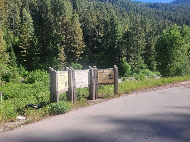
Photographed by Jeremy Snow, June 18, 2025
2. Blind Miner of the Wasatch Marker
(panel on the right)
Credits. This page was last revised on June 22, 2025. It was originally submitted on June 19, 2025, by Jeremy Snow of Cedar City, Utah. This page has been viewed 215 times since then and 77 times this year. Photos: 1, 2. submitted on June 19, 2025, by Jeremy Snow of Cedar City, Utah. • Andrew Ruppenstein was the editor who published this page.
