Near McHenry in Garrett County, Maryland — The American Northeast (Mid-Atlantic)
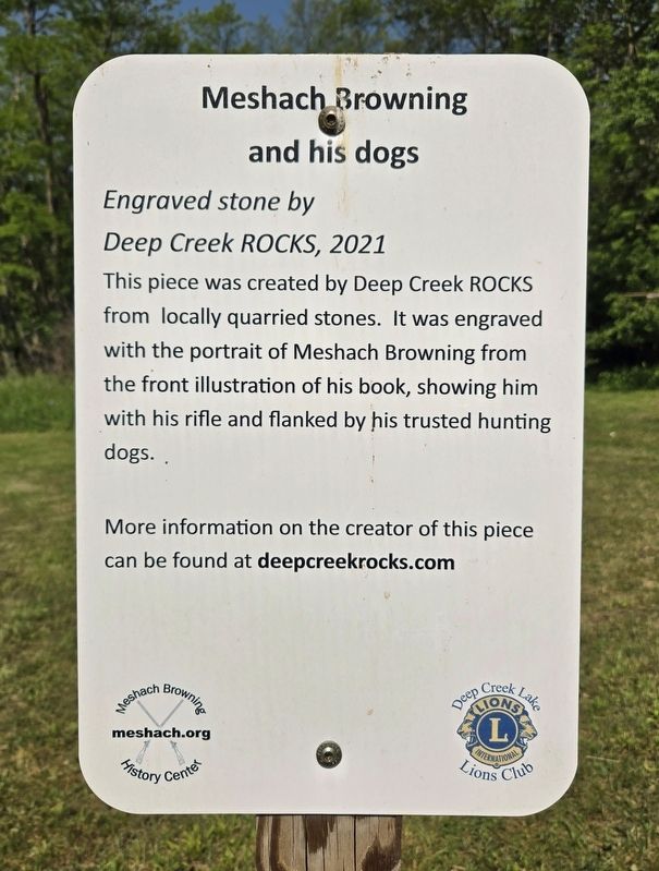
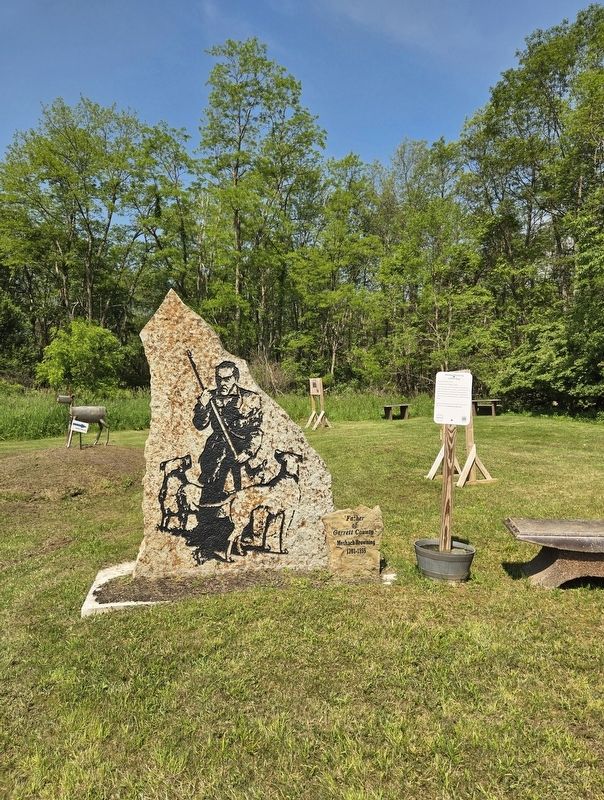
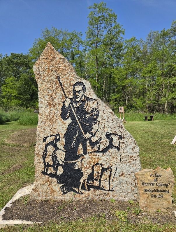
Meshach Browning and his dogs
Photographed by Bradley Owen, June 12, 2025
1. Meshach Browning and his dogs Marker
Engraved stone by Deep Creek ROCKS, 2021
This piece was created by Deep Creek ROCKS from locally quarried stones. It was engraved with the portrait of Meshach Browning from the front illustration of his book, showing him with his rifle and flanked by his trusted hunting dogs.
More information on the creator of this piece can be found at deepcreekrocks.com
Erected 2024 by Meshach Browning History Center and Deep Creek Lake Lions Club.
Topics. This historical marker is listed in this topic list: Arts, Letters, Music. A significant historical year for this entry is 2021.
Location. 39° 34.409′ N, 79° 20.205′ W. Marker is near McHenry, Maryland, in Garrett County. It can be reached from Bumble Bee Road 1.3 miles north of Mosser Road, on the left when traveling north. Marker is located at the trailhead for the Meshach Browning Trails which is at the end of the entrance road to Lions Club Park. Touch for map. Marker is at or near this postal address: 1249 Bumble Bee Road, Mc Henry MD 21541, United States of America. Touch for directions.

Regionally, this marker is in Western Maryland. It is also in the American Mid-Atlantic,
this page online
Other nearby markers. At least 8 other markers are within walking distance of this marker: Meshach Browning pursued by family of bears (here, next to this marker); Meshach Browning takes aim at a buck (a few steps from this marker); Meshach Browning (a few steps from this marker); Trading (a few steps from this marker); Mary Browning (a few steps from this marker); Portrait of Meshach Browning (a few steps from this marker); Mary Browning and her Tree of Life (a few steps from this marker); Life in Western Maryland during the Pioneer Era (within shouting distance of this marker). Touch for a list and map of all markers in McHenry.
Photographed by Bradley Owen, June 12, 2025
2. Meshach Browning and his dogs and Marker
Photographed by Bradley Owen, June 12, 2025
3. Meshach Browning and his dogs
Meshach Browning 1781-1859
Credits. This page was last revised on June 19, 2025. It was originally submitted on June 19, 2025, by Bradley Owen of Morgantown, West Virginia. This page has been viewed 108 times since then and 20 times this year. Photos: 1, 2, 3. submitted on June 19, 2025, by Bradley Owen of Morgantown, West Virginia.
