
Holladay Cottonwood in Brighton in Salt Lake County, Utah — The American Mountains (Southwest)
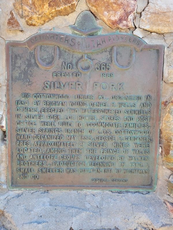
Silver Fork
Photographed by Jeremy Snow, June 18, 2025
1. Silver Fork Marker
Erected 1969 by Daughters of Utah Pioneers. (Marker Number 365.)
Topics and series. This historical marker is listed in these topic lists: Industry & Commerce • Settlements & Settlers. In addition, it is included in the Daughters of Utah Pioneers series list. A significant historical year for this entry is 1854.
Location. 40° 38.089′ N, 111° 36.892′ W. Marker is in Brighton, Utah, in Salt Lake County. It is in Holladay Cottonwood. It is on Big Cottonwood Canyon Road, on the right when traveling east. Touch for map. Marker is at or near this postal address: 11158 Big Cottonwood Canyon Road, Salt Lake City UT 84121,
this page online

Regionally, this marker is in the Wasatch Front and in Greater Salt Lake. It is also in the American Mountain West and on the Colorado Plateau. Globally, it is in North America, the Rocky Mountains, the Western Hemisphere, the Western World, and the Anglosphere. Historically, it finds itself in what was once New Spain and also Mexico’s Alta California.
Other nearby markers. At least 8 other markers are within 6 miles of this marker, measured as the crow flies: The First Statewide Pioneer Day Celebration (approx. 2.7 miles away); William Stuart Brighton (approx. 2.7 miles away); Historic Bay City Tunnel (approx. 3.1 miles away); Big Cottonwood Mining District (approx. 3.2 miles away); Blind Miner of the Wasatch (approx. 3.2 miles away); Snyderville Pioneer Cemetery (approx. 5.7 miles away); a different marker also named Snyderville Pioneer Cemetery (approx. 5.7 miles away); Park City Pioneers (approx. 5.9 miles away). Touch for a list and map of all markers in Brighton.
Photographed by Jeremy Snow, June 18, 2025
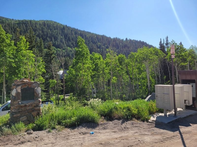
2. Silver Fork Marker
Credits. This page was last revised on June 22, 2025. It was originally submitted on June 19, 2025, by Jeremy Snow of Cedar City, Utah. This page has been viewed 170 times since then and 20 times this year. Photos: 1, 2. submitted on June 19, 2025, by Jeremy Snow of Cedar City, Utah. • Andrew Ruppenstein was the editor who published this page.
