Midway in Wasatch County, Utah — The American Mountains (Southwest)
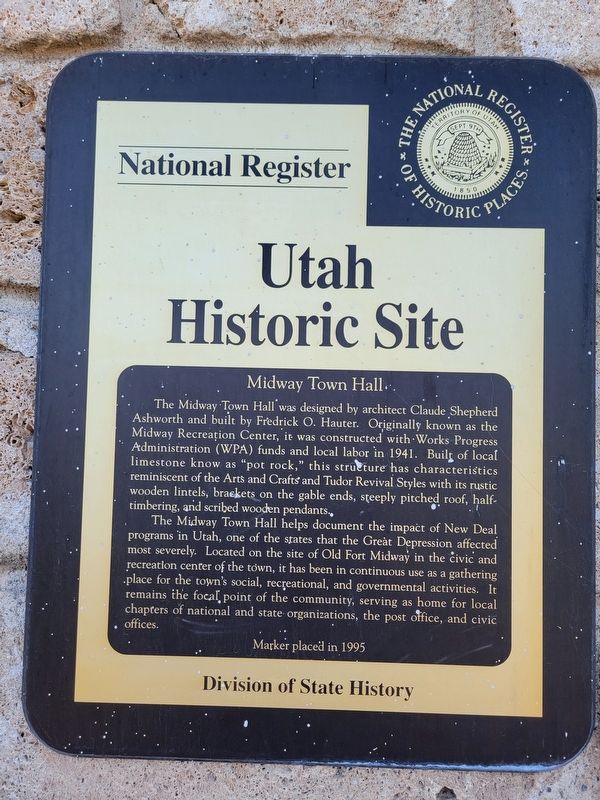
Midway Town Hall
Utah Historic Site
| — | National Register of Historic Places | — |
Photographed by Jeremy Snow, June 18, 2025
1. Midway Town Hall Marker
The Midway Town Hall helps document the impact of New Deal programs in Utah, one of the states that the Great Depression affected most severely. Located on the site of Old Fort Midway in the civic and recreation center of the town, it has been in continuous use as a gathering place for the town's social, recreational, and governmental activities. It remains the focal point of the community, serving as home for local chapters of national and state organizations, the post office, and civic offices.
Erected 1995 by Utah Division of State History.
Topics and series. This historical marker is listed in these
this page online
Location. 40° 30.739′ N, 111° 28.504′ W. Marker is in Midway, Utah, in Wasatch County. It is on West Main Street, on the right when traveling west. Touch for map. Marker is at or near this postal address: 120 W Main Street, Midway UT 84049, United States of America. Touch for directions.

Regionally, this marker is in the Wasatch Front and in Greater Provo. It is also in the American Mountain West and on the Colorado Plateau. Globally, it is in North America, the Rocky Mountains, the Western Hemisphere, the Western World, and the Anglosphere. Historically, it finds itself in what was once New Spain and also Mexico’s Alta California.
Other nearby markers. At least 8 other markers are within 3 miles of this marker, measured as the crow flies: Midway Fort (within shouting distance of this marker); Midway Social Hall (approx. 0.2 miles away); Social Hall/Cannery Building (approx. 0.2 miles away);
Photographed by Jeremy Snow, June 18, 2025
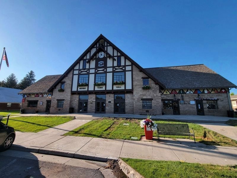
2. Midway Town Hall Marker
located to the left of the center entrance door
Also see . . . Midway Town Hall. (Submitted on July 10, 2025, by Brandon D Cross of Flagler Beach, Florida.)
Photographed by Jeremy Snow, June 18, 2025
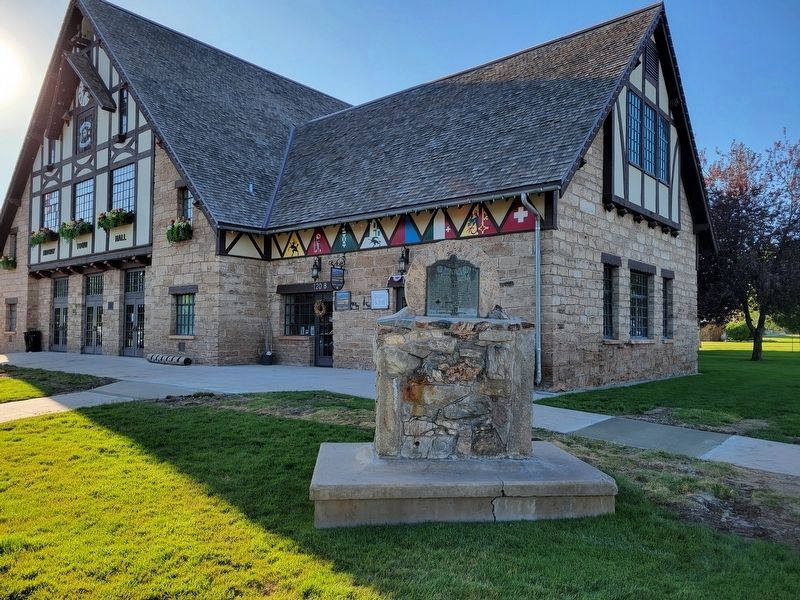
3. Midway Town Hall Building
Credits. This page was last revised on August 7, 2025. It was originally submitted on June 19, 2025, by Jeremy Snow of Cedar City, Utah. This page has been viewed 182 times since then and 49 times this year. Photos: 1, 2, 3. submitted on June 19, 2025, by Jeremy Snow of Cedar City, Utah. • Andrew Ruppenstein was the editor who published this page.
