
Falaise in Calvados, Normandy, France — Western Europe
Le Logis Vicomtal
⎯⎯⎯
The Viscount's House
Photographed by James Hulse, June 2, 2025
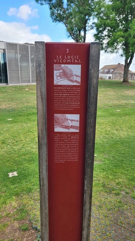
1. Le Logis Vicomtal Marker - French Text

Dès le début du XIIe siècle, un édifice vient s'adosser au rempart. Pourvu d'un dallage mais de plan inconnu, il vient former un premier logis seigneurial en pierre. A la fin du XIIe siècle, l'édifice qui deviendra logis du vicomte est repris et agrandi. Long de 16,50 mètres, il se compose de deux pièces en rez-de-chaussée : une cuisine et une grande salle de 60 m² éclairée de 3 baies à coussièges (bancs en pierre), chacune pourvue d'une cheminée et communiquant par une porte.
À l'étage, accessible depuis un escalier extérieur, se situaient les appartements privés du vicomte ainsi que des pièces de réception. Ce bâtiment, probablement couvert d'essentes ou de tuiles, offre le plan, les dispositions et les proportions des édifices nobles de tradition anglo-normande du XIIe siècle. Il est refait après 1370, sa cuisine étant pourvue d'une nouvelle cheminée. Un nouveau bâtiment (ou une extension) est élevé plus à l'ouest en intégrant la tour de l'Échiquier et dotant le logis d'une chambre et peut-être de communs. Devenu «logis du gouverneur» en 1416, cet ensemble majestueux s'étendra alors sur plus de 45 mètres le long du rempart.
Légendes
(Photo #1) Logis vicomtal vers 1160-1200.
(Photo #2) Cuisine du logis vicomtal.
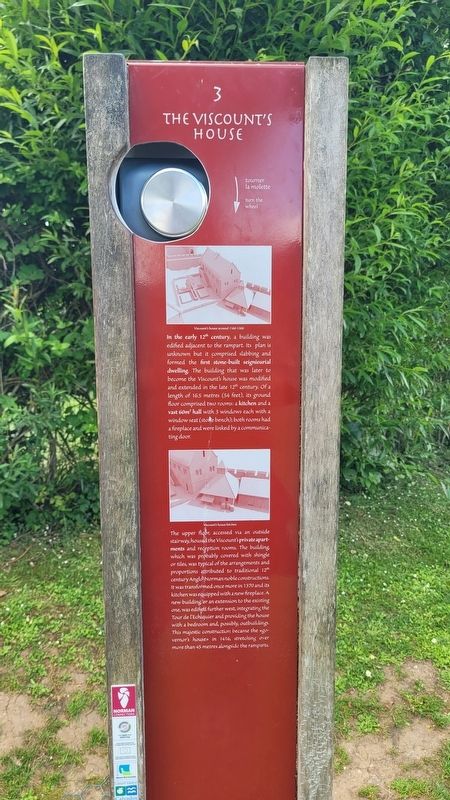
In the early 12th century, a building was edified adjacent to the rampart. Its plan is unknown but it comprised slabbing and formed the first stone-built seignieurial dwelling. The building that was later to become the Viscount's house was modified and extended in the late 12th century. Of a length of 16.5 metres (54 feet), its ground floor comprised two rooms: a kitchen and a vast 60m² hall with 3 windows each with a window seat (store bench); both rooms had a fireplace and were linked by a communicating door.
The upper floor, accessed via an outside stairway, housed the Viscount's private apartments and reception rooms. The building which was probably covered with shingle or tiles, was typical of the arrangements and proportions attributed to traditional 12th century Anglo Norman noble constructions. It was transformed once more in 1370 and its kitchen was equipped with a new fireplace. A new building or an extension to the existing one, was edified further west, integrating the Tour de l'Echiquier and providing the house with a bedroom and, possibly, outbuildings. This majestic construction became the «governor's house» in 1416, stretching over more than 45 metres alongside the ramparts.
Captions
(Photo #1) Viscount's house around 1160-1200.
(Photo #2) Viscount's house kitchen.
Erected by Conseil
this page online
Topics. This historical marker is listed in this topic list: Forts and Castles. A significant historical year for this entry is 1370.
Location. 48° 53.598′ N, 0° 12.207′ W. Marker is in Falaise, Normandie (Normandy), in Calvados. It is at the intersection of Place Guillaume le Conquérant and Rue Blacher on Place Guillaume le Conquérant. The marker is located on the grounds of the Château Guillaume-le-Conquérant. Touch for map. Marker is at or near this postal address: 25 Pl Guillaume le Conquérant, Falaise, Normandie 14700, France. Touch for directions.

Regionally, it is in the North Atlantic Region, Europe, the European Union, Atlantic Europe, the Schengen Area, Western Europe, a coastal Mediterranean country, and the Western World. Historically, it finds itself in what was once a French colony and also the Roman Empire.
Other nearby markers. At least 8 other markers are within walking distance of this marker: La Haute Cour et les Donjons / The Upper Yard and the Keeps (within shouting distance of this marker); Le Redent / The Redan
Photographed by James Hulse, June 2, 2025
2. The Viscount's House Marker - English Text
Also see . . . History. Chateau Guillaume-le-Conquerant
The site of Falaise, situated on the edge of the first foothills of the Armorican massif, has been occupied by man since at least the Mesolithic Age (around 7000 BC). Different types of settlement succeeded one another over the centuries, and it seems that a fortification already exists on the rock in the Carolingian era.(Submitted on June 21, 2025, by James Hulse of Medina, Texas.)
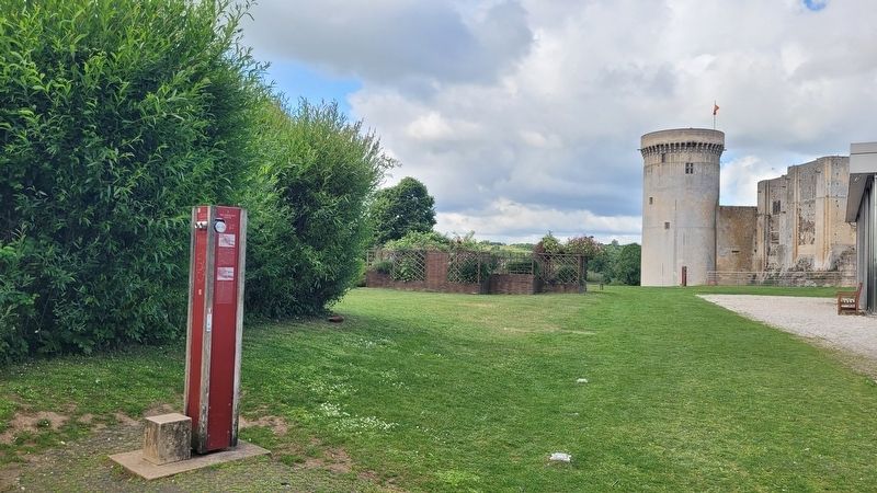
Taking advantage of this protection, the town develops on the rocky spur formed by the two valleys of the Ante and Marescot rivers. The beginning of the 10thcentury saw the creation of the dukedom of Normandy (the land of the northmen) after the Viking chief Rollo was granted land by Charles III “the simple”, king of franks, in 911. In this new political scene, the town and castle develop and change greatly and Falaise was to become one of the first cities of the new duchy.Photographed by James Hulse, June 2, 20253. The view of the marker in front of the tower
Photographed by James Hulse, June 2, 2025
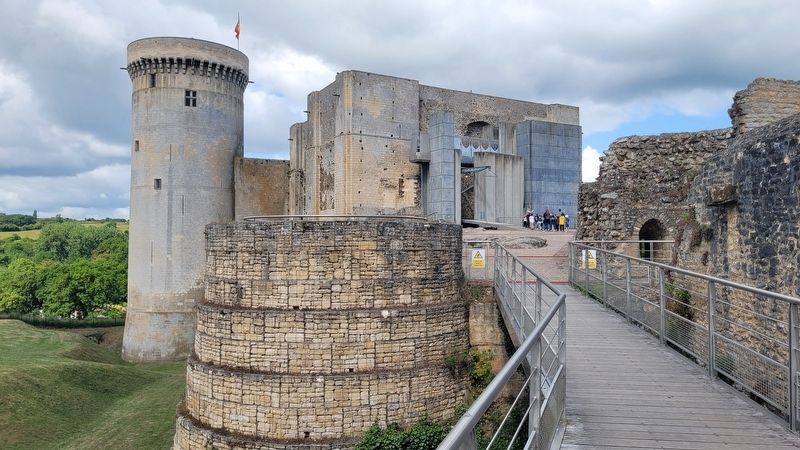
4. The view from the marker
Credits. This page was last revised on June 21, 2025. It was originally submitted on June 20, 2025, by James Hulse of Medina, Texas. This page has been viewed 89 times since then and 11 times this year. Photos: 1, 2, 3, 4. submitted on June 21, 2025, by James Hulse of Medina, Texas.
