Peoa in Summit County, Utah — The American Mountains (Southwest)
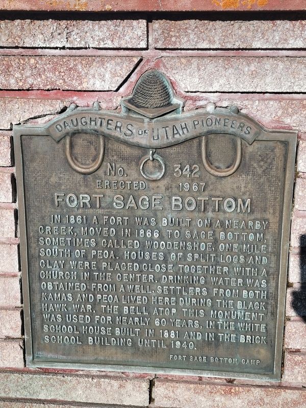
Fort Sage Bottom
Photographed by Jeremy Snow, June 20, 2025
1. Fort Sage Bottom Marker
Erected 1967 by Daughters of Utah Pioneers. (Marker Number 342.)
Topics and series. This historical marker is listed in these topic lists: Forts and Castles • Settlements & Settlers. In addition, it is included in the Daughters of Utah Pioneers series list. A significant historical year for this entry is 1861.
Location. 40° 43.561′ N, 111° 20.562′ W. Marker is in Peoa, Utah, in Summit County. It is on Utah 32, on the right when traveling south. Touch for map. Marker is at or near this postal address: 5589 UT-32, Peoa UT 84061, United States of America. Touch for directions.

Regionally, this marker is in the Uinta Mountains, in the Wasatch Front, and
this page online
Other nearby markers. At least 8 other markers are within 10 miles of this marker, measured as the crow flies: The Promise of Peoa (a few steps from this marker); Indian Trail (approx. 2.4 miles away); Rhoades Valley Fort (approx. 6.6 miles away); First Settler of Kamas (approx. 6.8 miles away); Wanship Station (approx. 7 miles away); Francis (approx. 8.6 miles away); Park City Pioneers (approx. 9.7 miles away); Marsac School (approx. 9.8 miles away).
Photographed by Jeremy Snow, June 20, 2025
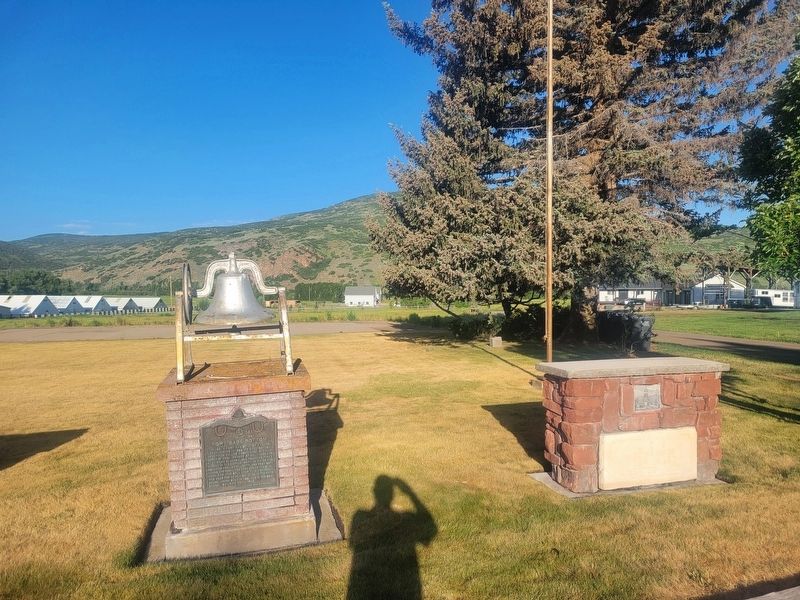
2. Fort Sage Bottom Marker
Credits. This page was last revised on June 21, 2025. It was originally submitted on June 20, 2025, by Jeremy Snow of Cedar City, Utah. This page has been viewed 133 times since then and 22 times this year. Photos: 1, 2. submitted on June 20, 2025, by Jeremy Snow of Cedar City, Utah. • Andrew Ruppenstein was the editor who published this page.
