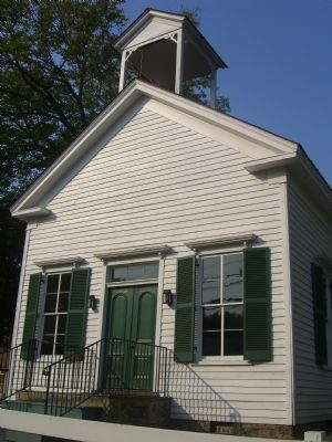
Brentsville in Prince William County, Virginia — The American South (Mid-Atlantic)
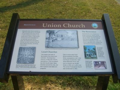
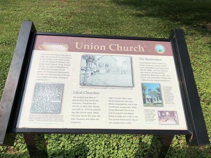
Union Church
Brentsville
(caption of picture in lower left) On June 21, 1871, the Alexandria Gazette solicited support for Brentsville ladies’ effort to build a new church. Brentsville’s church would be “…free to white ministers…”. African Americans would worship elsewhere.
* Prince William County Deed Book 48, page 472
Full text from Alexandria Gazette article:
Church at Brentsville, Prince William co., VA. – I am requested to inform your readers that a delegation of ladies from this village will visit your city some day this week fully authorized to solicit contributions from your liberal people to aid in the erection of a church proposed to be built here. A festival will be held on the Court green, here Monday next, by the ladies, the proceeds of which willl be appropriated to the above named purpose. The Hotel proprietors in the place have very generously declined furnishing any dinner that day, so that the ample repast spread by the ladies may be enjoyed by all. Every delicacy the season affords will be procured.
It is hoped your merchants and citizens generally will lend thses ladies a helping hand and contribute liberally to the object they have in view. The church will be free to white ministers of the Methodist Episcopal Church South, Presbyterian, Episcopal, the New and both branches of the Old School Baptist church.
Brentsville, Va., June 21. Tyrone.
(caption of picture in center top) Members of the local Presbyterian congregation visit outside the Union Church in ca. 1920.
Local Churches
The location and date of Brentsville’s first church are unknown. The Broad Run Church, or Slaty Run Church, was built ca. 1754 on present-day Old Church Road. Other churches served the area, but their locations and dates are unspecific.
Little is known about local African-American churches. White congregations
Photographed By Devry Becker Jones (CC0), July 5, 2020
2. Union Church Marker
The marker has experienced damaged.
The Restoration
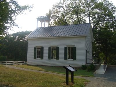
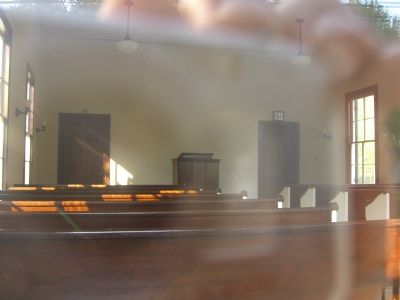
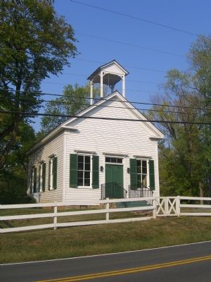
The Brentsville Union Church is a simple vernacular country church. Local congregations worshiped here into the 1960s, when the building was used for storage and then abandoned. Beginning in 2001, the Church was saved from collapse and restored to its original appearance.
(caption in picture on left, center) The cupola posts were cut before the cupola was removed for restoration. It now houses the original bell. The Church received a new copper roof, new mechanical and electrical systems, and a new coat of paint.
Photo by Ray Goodrow
(caption in picture on left, bottom) Restoration began in 2001 when the new foundation was laid. By 2006, new walls, heart pine floors and reproduced pews were installed.
Photo by Ray Goodrow
Erected 2007 by Prince William County and the Friends of Brentsville Courthouse Historic Centre.
Topics. This historical marker is listed in
Photographed By Devry Becker Jones (CC0), July 5, 2020
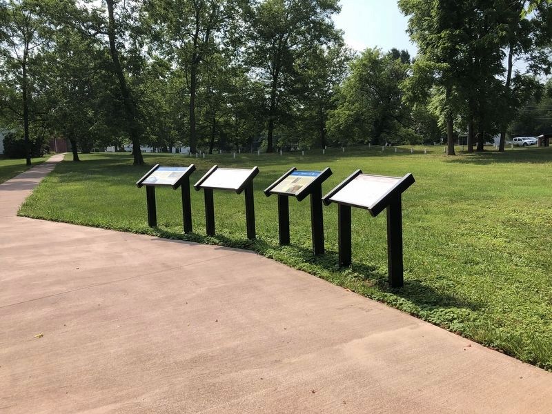
3. Four markers in a row
The marker (farthest left) and its environs as of July 2020.
Location. 38° 41.396′ N, 77° 30.068′ W. Marker is in Brentsville, Virginia, in Prince William County. Marker is on Bristow Road (Virginia Route 619) just west of Barbee Road, on the right when traveling west. Touch for map. Marker is at or near this postal address: 12235 Bristow Road, Bristow VA 20136, United States of America. Touch for directions.
Other nearby markers. At least 8 other markers are within walking distance of this marker. Tavern Lot (here, next to this marker); Tavern Archaeology (here, next to this marker); Tavern (here, next to this marker); 1822 Tavern Site (a few steps from this marker); Outbuildings (within shouting distance of this marker); Tavern Cellar (within shouting distance of this marker); a different marker also named The Tavern (within shouting distance of this marker); a different marker also named 1822 Tavern Site (within shouting distance of this marker). Touch for a list and map of all markers in Brentsville.
More about this marker. Marker was installed in May 2007.
Photographed By Kevin W., September 26, 2007
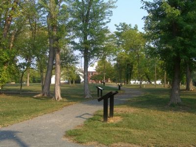
4. The History of Brentsville awaits visitors.
New markers, installed in May 2007, line the path between Brenstville County Jail (in the far distance) and the Brentsville Union Church (behind the photographer). The Brentsville - Union Church Marker is immediately to the front.
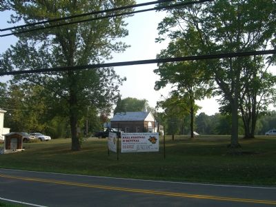
Photographed By Kevin W., September 26, 2007
9. Saint James Episcopal Church (now Hatcher’s Memorial Baptist).
Saint James Episcopal Church (now Hatcher’s Memorial Baptist Church), built on present-day Barbee Street in 1846 and still in use, is within site of this marker. The current Presbyterian Church, constructed in 1952, is on Bristow Road about 400 feet east.
Credits. This page was last revised on July 5, 2020. It was originally submitted on October 1, 2007, by Kevin W. of Stafford, Virginia. This page has been viewed 1,692 times since then and 26 times this year. Photos: 1. submitted on October 1, 2007, by Kevin W. of Stafford, Virginia. 2, 3. submitted on July 5, 2020, by Devry Becker Jones of Washington, District of Columbia. 4, 5, 6, 7, 8, 9. submitted on October 1, 2007, by Kevin W. of Stafford, Virginia.
