Dacusville near Easley in Pickens County, South Carolina — The American South (South Atlantic)
Dacusville
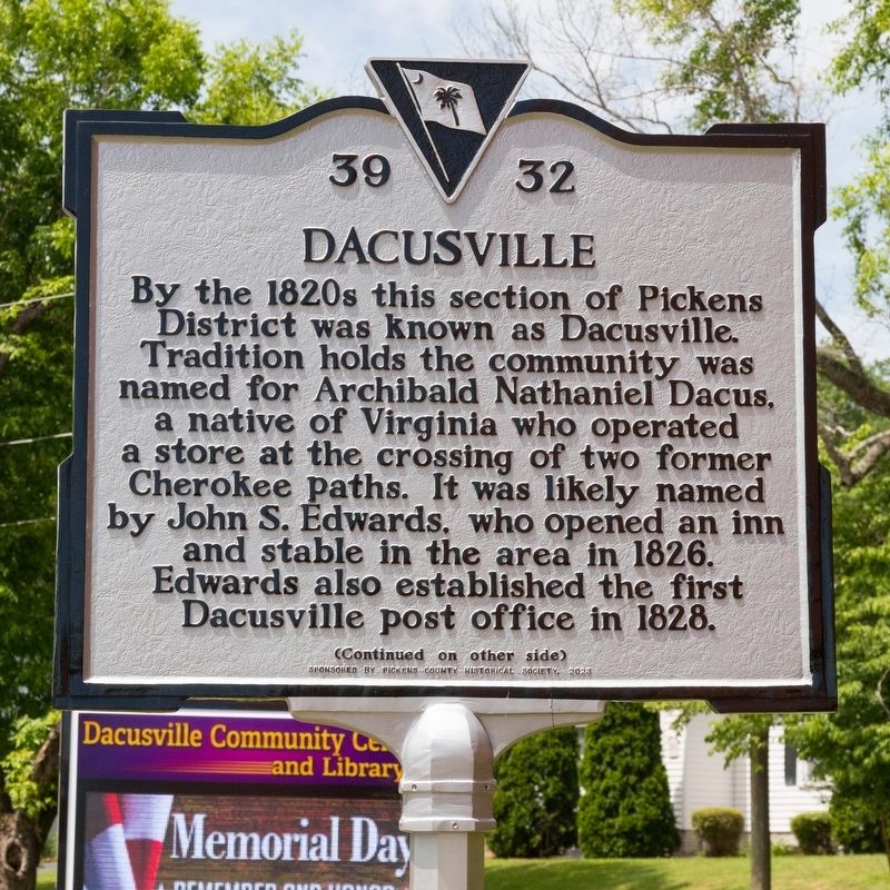
Photographed by J. J. Prats, May 18, 2025
1. Dacusville Marker, Side One
For most of the 1800s Dacusville was also called “Trap” or “The Trap,” an earlier name likely dating to the area’s time as Cherokee territory. Drover traffic and others traveled on the Hamburg Road, which followed what is now known as Cherokee Trail. By the 20th century the Dacusville area included grist mills, stores, cotton gins, as well as other commercial enterprises.
Erected 2023 by Department of Archives and History. Sponsored by the Pickens County Historical Society. (Marker Number 39-32.)
Topics. This historical marker is listed in this topic list: Notable Places. A significant historical year for this entry is 1826.
Location. 34° 56.304′ N, 82° 33.345′ W. Marker is near Easley, South Carolina, in Pickens County. It
this page online

Regionally, this marker is in South Carolina’s and pstate, in the Foothills, in the Golden Corner. It is also in the American South, specifically in the Deep South, in Appalachia, and specifically in Southern Appalachia. Globally, it is in North America, the Western Hemisphere, the Western World, and the Anglosphere. Historically, it finds itself in what was once the original Cherokee Nation, the territory of the Mississippian Culture, one of the original Thirteen Colonies, one of the Confederate States of America, and the Antebellum South.
Other nearby markers. At least 8 other markers are within 7 miles of this marker, measured as the crow flies: Hester Store (approx. 3.1 miles away); Beattie E. Huff Highway (approx. 5½ miles away); Berea First Baptist Church (approx. 5.8 miles away); John Broadus Watson (approx. 6.1 miles away); Lynching in America / The Lynching of Tom Keith
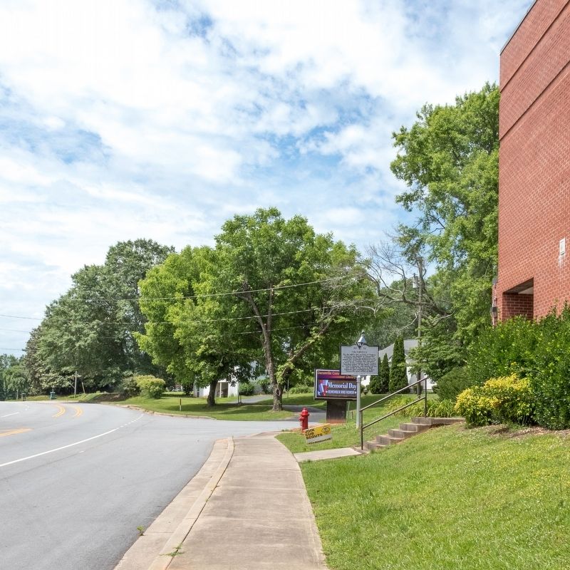
Photographed by J. J. Prats, May 18, 2025
2. Dacusville Marker
Credits. This page was last revised on June 21, 2025. It was originally submitted on June 21, 2025, by J. J. Prats of Powell, Ohio. This page has been viewed 262 times since then and 87 times this year. Photos: 1, 2. submitted on June 21, 2025, by J. J. Prats of Powell, Ohio.
Editor’s want-list for this marker. a photo of side two • Can you help?
