McHenry in Garrett County, Maryland — The American Northeast (Mid-Atlantic)
Meshach Browning Trail System
Photographed by Bradley Owen, June 12, 2025
1. Meshach Browning Trail System Marker
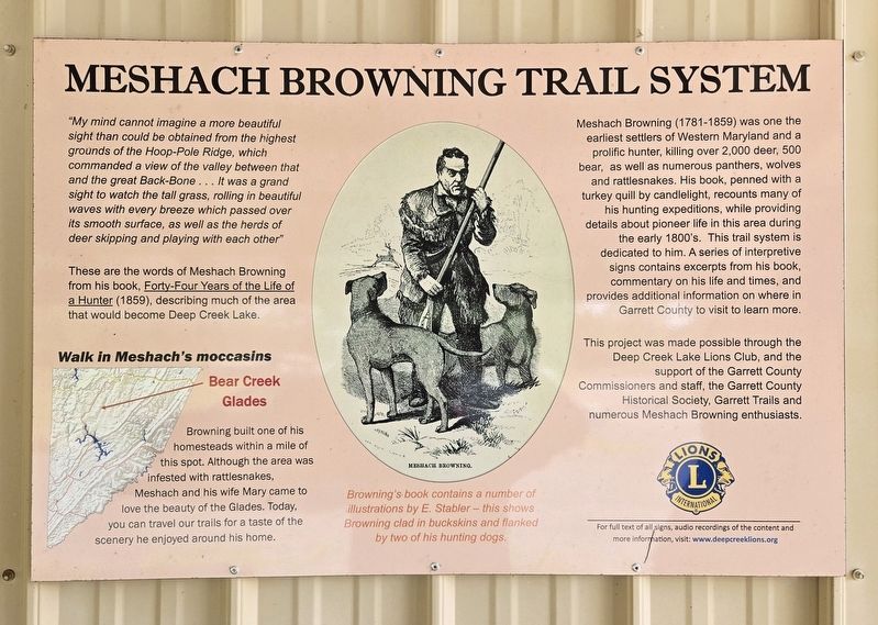
"My mind cannot imagine a more beautiful sight than could be obtained from the highest grounds of the Hoop-Pole Ridge, which commanded a view of the valley between that and the great Back-Bone . . . It was a grand sight to watch the tall grass, rolling in beautiful waves with every breeze which passed over its smooth surface, as well as the herds of deer skipping and playing with each other"
These are the words of Meshach Browning from his book, Forty-Four Years of the Life of a Hunter (1859), describing much of the area that would become Deep Creek Lake.
Walk in Meshach's moccasins
Browning built one of his homesteads within a mile of this spot. Although the area was infested with rattlesnakes, Meshach and his wife Mary came to love the beauty of the Glades. Today, you can travel our trails for a taste of the scenery he enjoyed around his home.
Browning's book contains a number of illustrations by E. Stabler - this shows Browning clad in buckskins and flanked by two of his hunting dogs.
Meshach Browning (1781-1859) was one the earliest settlers of Western Maryland and a prolific hunter, killing over 2,000
this page online
This project was made possible through the Deep Creek Lake Lions Club, and the support of the Garrett County Commissioners and staff, the Garrett County Historical Society, Garrett Trails and numerous Meshach Browning enthusiasts.
Erected 2018 by Deep Creek Lake Lions Club.
Topics. This historical marker is listed in these topic lists: Arts, Letters, Music • Settlements & Settlers.
Location. 39° 34.412′ N, 79° 20.188′ W. Marker is in McHenry, Maryland, in Garrett County. It can be reached from Bumble Bee Road 1.3 miles north of Mosser Road, on the left when traveling north. Marker is located at the end of the
Photographed by Bradley Owen, June 12, 2025
2. Meshach Browning Trail System Marker
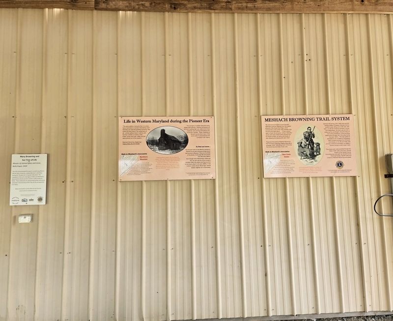
Marker is at the far right.

Regionally, this marker is in Western Maryland. It is also in the American Mid-Atlantic, in Appalachia, and specifically in Northern Appalachia. Globally, it is in North America, the Western Hemisphere, the Western World, and the Anglosphere. Historically, it finds itself in what was once one of the original Thirteen Colonies.
Other nearby markers. At least 8 other markers are within walking distance of this marker: Life in Western Maryland during the Pioneer Era (here, next to this marker); Mary Browning and her Tree of Life (here, next to this marker); Meshach Browning surveys a mountain sunset (here, next to this marker); Portrait of Meshach Browning (here, next to this marker); Mary Browning (here, next to this marker); Meshach Browning (a few steps from this marker); Meshach Browning pursued by family of bears (within shouting distance of this marker); Meshach Browning and his dogs (within shouting distance of this marker). Touch for a list and map of all markers in McHenry.
Credits. This page was last revised on June 23, 2025. It was originally submitted on June 22, 2025, by Bradley Owen of Morgantown, West Virginia. This page has been viewed 91 times since then and 19 times this year. Photos: 1, 2. submitted on June 23, 2025, by Bradley Owen of Morgantown, West Virginia.
