Near McHenry in Garrett County, Maryland — The American Northeast (Mid-Atlantic)
Life in Western Maryland during the Pioneer Era
Photographed by Bradley Owen, June 12, 2025
1. Life in Western Maryland during the Pioneer Era Marker
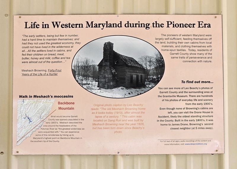
"The early settlers, being but few in number, had a hard time to maintain themselves; and had they not used the greatest economy, they could not have lived in the wilderness at all...All the settlers lived in cabins, and fed their children on bread, meat, butter, honey and milk; coffee and tea were almost out of the question..."
Meshach Browning, Forty-Four Years of the Life of a Hunter
Walk in Meshach's moccasins
What would become Garrett County was sparsely populated in the early 1800's. Meshach described the area around the headwaters of the Potomac River as "the greatest wilderness we were acquainted with." You can experience some of this remoteness by hiking up to Maryland's highest point on Backbone Mountain in the southern tip of the County.
Original photo caption by Leo Beachy reads: "The old Meshach Browning home as it looks today (1919), after almost the lapse of a century. " This cabin was located on Sang Run and was built by Meshach Browning near the year 1828, but has been torn down since Beachy's photo.
The pioneers of western Maryland were largely self-sufficient, feeding themselves off the
this page online
To find out more...
You can see more of Leo Beachy's photos of Garrett County and the surrounding area at the Grantsville Museum. There are hundreds of his photos of everyday life and scenery from the early 1900's.
Even though none of Browning's cabins are left, you can visit the Drane House in Accident, likely the oldest standing structure in the County. Built in the early 1800's, it was home to James Drane, Browning's second closest neighbor (at 5 miles away).
Erected 2018 by Deep Creek Lake Lions Club.
Topics. This historical marker is listed in these topic lists: Arts, Letters, Music • Notable Buildings • Settlements & Settlers. A significant historical year for this entry is 1828.
Location. 39° 34.412′ N, 79° 20.188′ W. Marker is near McHenry, Maryland, in Garrett County. It can be reached from Bumble Bee Road just north of Mosser Road, on the left when traveling north. Marker is located at the end
Photographed by Bradley Owen, June 12, 2025
2. Life in Western Maryland during the Pioneer Era Marker
Marker is on the left.

Regionally, this marker is in Western Maryland. It is also in the American Mid-Atlantic, in Appalachia, and specifically in Northern Appalachia. Globally, it is in North America, the Western Hemisphere, the Western World, and the Anglosphere. Historically, it finds itself in what was once one of the original Thirteen Colonies.
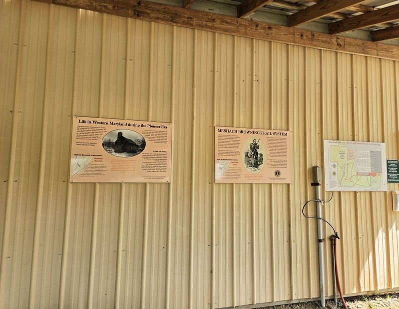
Other nearby markers. At least 8 other markers are within walking distance of this marker: Meshach Browning Trail System (here, next to this marker); Mary Browning and her Tree of Life (here, next to this marker); Portrait of Meshach Browning (here, next to this marker); Meshach Browning surveys a mountain sunset (here, next to this marker); Mary Browning (here, next to this marker); Meshach Browning (a few steps from this marker); Meshach Browning pursued by family of bears (within shouting distance of this marker); Meshach Browning and his dogs (within shouting distance of this marker). Touch for a list and map of all markers in McHenry.
Credits. This page was last revised on June 22, 2025. It was originally submitted on June 22, 2025, by Bradley Owen of Morgantown, West Virginia. This page has been viewed 110 times since then and 15 times this year. Photos: 1, 2. submitted on June 22, 2025, by Bradley Owen of Morgantown, West Virginia.
