Columbia in Adair County, Kentucky — The American South (East South Central)
Adair County Veterans
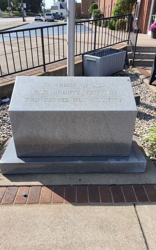
Photographed by Richard Hawkins, June 22, 2025
1. Adair County veterans Marker
Topics. This memorial is listed in this topic list: Military.
Location. 37° 6.198′ N, 85° 18.376′ W. Memorial is in Columbia, Kentucky, in Adair County. It is at the intersection of Public Square and Campbellsville St on Public Square. Touch for map. Memorial is at or near this postal address: 424 Public Square, Columbia KY 42728, United States of America. Touch for directions.

Regionally, this memorial is in the Pennyroyal Region. It is also in the American South and specifically in the Upper South. Globally, it is in North America, the Western Hemisphere, the Western World, and the Anglosphere. Historically, it finds itself in what was once the territory of the Mississippian Culture and also the Antebellum South.
Other nearby markers. At least 8 other markers are within walking distance of this marker: Jane Lampton Home (within shouting distance of this marker); Adair County World War I Memorial (within shouting distance of this marker); Adair County Revolutionary War Memorial (within shouting distance of this marker); Confederate Raids (within shouting distance of this marker); Home of Sergeant Dakota Meyer (within shouting distance of this marker); Col. Frank L. Wolford (within shouting distance of this marker); Adair County Courthouse (within shouting distance of this marker); Frank Lane Wolford (about 600 feet away, measured in a direct line). Touch for a list and map of all markers in Columbia.
Another marker is no longer nearby. County Named, 1801 (was within shouting distance of this marker but has been confirmed missing).
this page online
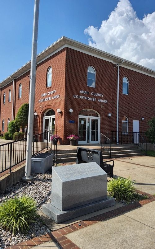
Photographed by Richard Hawkins, June 22, 2025
2. Adair County veterans Marker
Credits. This page was last revised on June 26, 2025. It was originally submitted on June 22, 2025, by Richard Hawkins of Phelan, California. This page has been viewed 158 times since then and 37 times this year. Photos: 1, 2. submitted on June 22, 2025, by Richard Hawkins of Phelan, California. • James Hulse was the editor who published this page.
