Wabuska in Lyon County, Nevada — The American Mountains (Southwest)
Wabuska
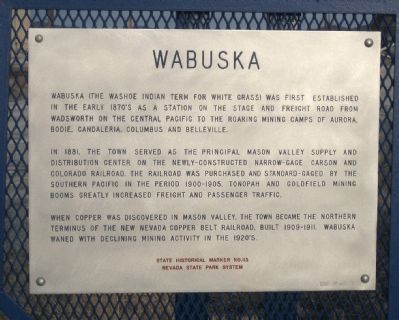
Wabuska (the Washoe Indian term for White Grass) was first established in the early 1870's as a station on the stage and freight road from Wadsworth on the Central Pacific to the roaring mining camps of Aurora, Bodie, Candelaria, Columbia and Belleville.
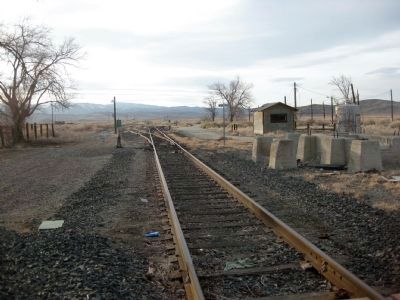
In 1881, the town served as the principal Mason Valley supply and distribution center on the newly constructed narrow-gauge Carson and Colorado Railroad. The railroad was purchased and standard- gauged by the Southern Pacific in the period 1900-1905. Tonopah and Goldfield mining booms greatly increased freight and passenger traffic.
When copper was discovered in Mason Valley, the town became the northern terminus of the new Nevada Copper Belt Railroad, built 1909-1911. Wabuska waned with declining mining activity in the 1920's.
Nevada State Park System
Erected by Nevada State Park System. (Marker Number 113.)
Topics. This historical marker is listed in this topic list: Railroads & Streetcars. A significant historical year for this entry is 1881.
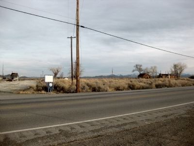
Location. 39° 8.617′ N, 119° 10.907′ W. Marker is in Wabuska, Nevada, in Lyon County. Marker is on Alternate U.S. 95, one mile north of Sierra Way, on the left when traveling south. Touch for map. Marker is in this post office area: Yerington NV 89447, United States of America. Touch for directions.
Other nearby markers. At least 8 other markers are within 11 miles of this marker, measured as the crow flies. Mitch "The Buffet" Miller's Copper Queen 1915 Headquarters (CQHQ) (within shouting distance of this marker); a different marker also named Wabuska (within shouting distance of this marker); Miller & Lux Ranch Pizen Switch Holdings (approx. 4.9 miles away); Yerington Grammar School #9 (approx. 10.8 miles away); Mason Valley Telephone and Telegraph Co. (approx. 10.8 miles away); Leavitt Building & Masonic Hall (approx. 10.8 miles away); Buckland's Station (approx. 11.1 miles away); The Longest Ride (approx. 11.1 miles away). Touch for a list and map of all markers in Wabuska.
More about this marker. The marker is located the across the street from Linda's Bar, the only retail establishment in Wabuska.
Also see . . .
1. The Wabuska Station. Flickr entry:
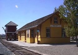
The railroad statin at Wabuska was moved to the Virginia & Truckee historical railroad facility in Carson City Nevada. This site gives some details as well as a photo of the station building. (Submitted on November 13, 2012, by Chris English of Phoenix, Arizona.)
2. Wabuska: New Amended Text for Marker. Nevada State Historic Preservation Office entry:
SHPO recently updated the text of the roughly 260 state historical markers in Nevada. The Nevada SHPO placed the amended text of each individual marker on its website and will change the actual markers in the field as funding allows. Minor changes have been made to the marker for grammar, readability, and content. The marker now says that Wabuska is perhaps a Washoe Indian term for white grass. The link will take you to the Nevada SHPO page for the marker with the amended text. (Submitted on November 12, 2013, by Duane Hall of Abilene, Texas.)
Additional keywords. mining

via NPS, unknown
3. Wabuska Railroad Station
National Park Service website entry
Click for more information.
Click for more information.
Credits. This page was last revised on December 11, 2021. It was originally submitted on February 15, 2010, by Andrew Ruppenstein of Lamorinda, California. This page has been viewed 1,410 times since then and 29 times this year. Last updated on February 18, 2010, by Andrew Ruppenstein of Lamorinda, California. Photos: 1, 2. submitted on February 15, 2010, by Andrew Ruppenstein of Lamorinda, California. 3. submitted on December 11, 2021, by Larry Gertner of New York, New York. 4. submitted on February 15, 2010, by Andrew Ruppenstein of Lamorinda, California. • Syd Whittle was the editor who published this page.


