Garden City in Rich County, Utah — The American Mountains (Southwest)
Garden City Bell

Photographed by Jeremy Snow, June 24, 2025
1. Garden City Bell Marker
Topics and series. This historical marker is listed in this topic list: Religion & Religious Structures. In addition, it is included in the Historic Bells series list. A significant historical year for this entry is 1896.
Location. 41° 56.736′ N, 111° 23.633′ W. Marker is in Garden City, Utah, in Rich County. It is at the intersection of South Bear Lake Boulevard and W 50 S, on the right when traveling south on South Bear Lake Boulevard. Touch for map. Marker is at or near this postal address: 65 S Bear Lake Boulevard, Garden City UT 84028, United States of America. Touch for directions.

Regionally, this marker is in the Cache Valley and in the Uinta Mountains. It is also in the American Mountain West and on the Colorado Plateau. Globally, it is in North America, the Rocky Mountains, the Western Hemisphere,
this page online
Other nearby markers. At least 8 other markers are within 12 miles of this marker, measured as the crow flies: The First Oregon Trail (approx. 2.1 miles away); Bear Lake (approx. 5.9 miles away in Idaho); Fur Traders Rendezvous (approx. 6.3 miles away); Settlement of Fish Haven (approx. 6½ miles away in Idaho); Meadowville Pioneer Cemetery (approx. 7.7 miles away); Laketown Veteran's Memorial (approx. 9.1 miles away); The Legacy of Laketown (approx. 9.1 miles away); Gutzon Borglum Monument (approx. 11½ miles away in Idaho). Touch for a list and map of all markers in Garden City.
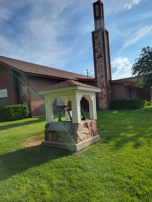
Photographed by Jeremy Snow, June 24, 2025
2. Garden City Bell Marker
Credits. This page was last revised on June 25, 2025. It was originally submitted on June 25, 2025, by Jeremy Snow of Cedar City, Utah. This page has been viewed 414 times since then and 23 times this year. Photos: 1, 2. submitted on June 25, 2025, by Jeremy Snow of Cedar City, Utah. • Andrew Ruppenstein was the editor who published this page.
