Marker Logo
THE HISTORICAL
MARKER DATABASE
“Bite-Size Bits of Local, National, and Global History”
Woodruff in Rich County, Utah — The American Mountains (Southwest)
 

Woodruff
 
 
Woodruff Marker image. Click for full size.
Photographed by Jeremy Snow, June 24, 2025
1. Woodruff Marker
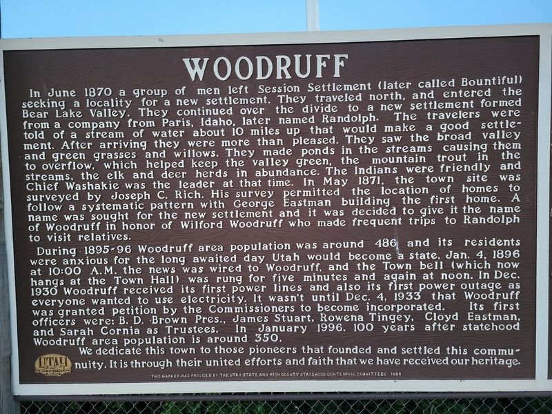
Inscription. In June 1870 a group of men left Session Settlement (later called Bountiful) seeking a locality for a new settlement. They traveled north, and entered the Bear Lake Valley. They continued over the divide to a new settlement formed from a company from Paris, Idaho, later named Randolph. The travelers were told of a stream of water about 10 miles up that would make a good settlement. After arriving they were more than pleased. They saw the broad valley and green grasses and willows. They made ponds in the streams causing them to overflow, which helped keep the valley green, the mountain trout in the streams, the elk and deer herds in abundance. The Indians were friendly and Chief Washakie was the leader at that time. In May 1871, the town site surveyed by Joseph C. Rich. His survey permitted the location of homes to follow a systematic pattern with George Eastman building the first home. A name was sought for the new settlement and it was decided to give it the name of Woodruff in honor of Wilford Woodruff who made frequent trips to Randolph to visit relatives.

During 1895-96 Woodruff area population was around 486 and
Paid Advertisement
Click or scan to see
this page online
its residents were anxious for the long awaited day Utah would become a state, Jan. 4, 1896 at 10:00 A. M. the news was wired to Woodruff, and the Town bell (which now hangs at the Town Hall) was rung for five minutes and again at noon. In Dec. 1930 Woodruff received its first power lines and also its first power outage as everyone wanted to use electricity. It wasn't until Dec. 4, 1933 that Woodruff was granted petition by the Commissioners to become incorporated. Its first officers were: B. D. Brown Pres., James Stuart, Rowena Tingey, Cloyd Eastman, and Sarah Cornia as Trustees. In January 1996, 100 years after statehood Woodruff area population is around 350.

We dedicate this town to those pioneers that founded and settled this communuity. It is through their united efforts and faith that we have received our heritage.
 
Erected 1996 by Utah State Centennial Committee.
 
Topics. This historical marker is listed in this topic list: Settlements & Settlers. A significant historical month for this entry is June 1870.
 
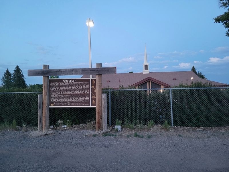
Location. 41° 31.208′ N, 111° 9.762′ W. Marker is in Woodruff, Utah, in Rich County. It is on South Main Street, on the right
Woodruff Marker image. Click for full size.
Photographed by Jeremy Snow, June 24, 2025
2. Woodruff Marker

when traveling north. Touch for map. Marker is at or near this postal address: 188 S Main Street, Woodruff UT 84086, United States of America. Touch for directions.

Regionally, this marker is in Utah’s Cache Valley and in the Uinta Mountains. It is also in the American Mountain West and in Colorado Plateau. Globally, it is in North America, the Rocky Mountains, the Western Hemisphere, the Western World, and the Anglosphere. Historically, it finds itself in what was once New Spain and also Mexico’s Alta California.

Other nearby markers. At least 8 other markers are within 10 miles of this marker, measured as the crow flies: A different marker also named Woodruff (within shouting distance of this marker); Our Old Community Bell - Woodruff (within shouting distance of this marker); Randolph (approx. 9½ miles away); Chandler-Price Platen, Treadle Press (circa 1885) (approx. 10 miles away); a different marker also named Randolph (approx. 10 miles away); a different marker also named Randolph (approx. 10 miles away); Wilford Woodruff (approx. 10 miles away); Rich County WWI Memorial (approx. 10.1 miles away). Touch for a list and map
Paid Advertisement
of all markers in Woodruff.
 
 
Credits. This page was last revised on June 26, 2025. It was originally submitted on June 25, 2025, by Jeremy Snow of Cedar City, Utah. This page has been viewed 136 times since then and 38 times this year. Photos:   1, 2. submitted on June 25, 2025, by Jeremy Snow of Cedar City, Utah. • Andrew Ruppenstein was the editor who published this page.

m=276614

CeraNet Cloud Computing sponsors the Historical Marker Database.
This website earns income from purchases you make after using our links to Amazon.com. We appreciate your support.
Paid Advertisement
Jul. 31, 2026