The Avenues in Salt Lake City in Salt Lake County, Utah — The American Mountains (Southwest)
Plat of the City of Zion
June 22, 2025
1. Plat of the City of Zion Marker
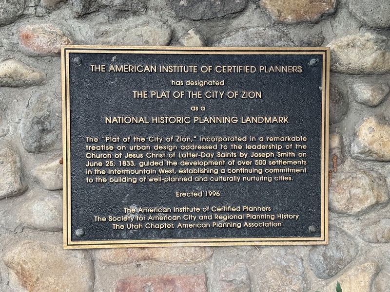
The American Institute of Certified Planners
has designated
the Plat of the City of Zion
as a
National Historic Planning Landmark
The "Plat of the City of Zion" incorporated in a remarkable treatise on urban design addressed to the leadership of the Church of Jesus Christ of Latter-Day Saints by Joseph Smith on June 25, 1833, guided the development of over 500 settlements in the Intermountain West, establishing a continuing commitment to the building of well-planned and culturally nurturing cities.
Erected 1996
The American Institute of Certified Planners
The Society for American City and Regional Planning History
The Utah Chapter, American Planning Association
Erected 1996 by The American Institute of Certified Planners.
Topics. This historical marker is listed in this topic list: Settlements & Settlers. A significant historical date for this entry is June 25, 1833.
Location. 40° 46.272′ N, 111° 53.284′ W. Marker is in Salt Lake City, Utah, in Salt Lake County. It is in The Avenues. It can be reached from North State Street. Touch for map. Marker is at or near this postal address: 100 N State Street,
this page online

Regionally, this marker is in the Wasatch Front and in Greater Salt Lake. It is also in the American Mountain West and on the Colorado Plateau. Globally, it is in North America, the Rocky Mountains, the Western Hemisphere, the Western World, and the Anglosphere. Historically, it finds itself in what was once New Spain and also Mexico’s Alta California.
Other nearby markers. At least 8 other markers are within walking distance of this marker: Brigham Young Historic Park (a few steps from this marker); Garden (within shouting distance of this marker); Wooden Flumes (within shouting distance of this marker); Waterwheels (within shouting distance of this marker); Canyon Quarries (within shouting distance of this marker); Gordon Place (about 600 feet away, measured in a direct line); The Bee-Hive House (about 600 feet away); Eagle Gate 1859 (about 600 feet away). Touch for a list and map of all markers in Salt Lake City.

June 22, 2025
2. Plat of the City of Zion Marker
Credits. This page was last revised on June 26, 2025. It was originally submitted on June 25, 2025. This page has been viewed 304 times since then and 46 times this year. Photos: 1, 2. submitted on June 25, 2025. • Andrew Ruppenstein was the editor who published this page.
