
Tracy City in Grundy County, Tennessee — The American South (East South Central)
Schoolhouse Branch Moonshine Still
Grundy Forest State Natural Area
Photographed by Darren Jefferson Clay, June 22, 2025
1. Schoolhouse Branch Moonshine Still Marker
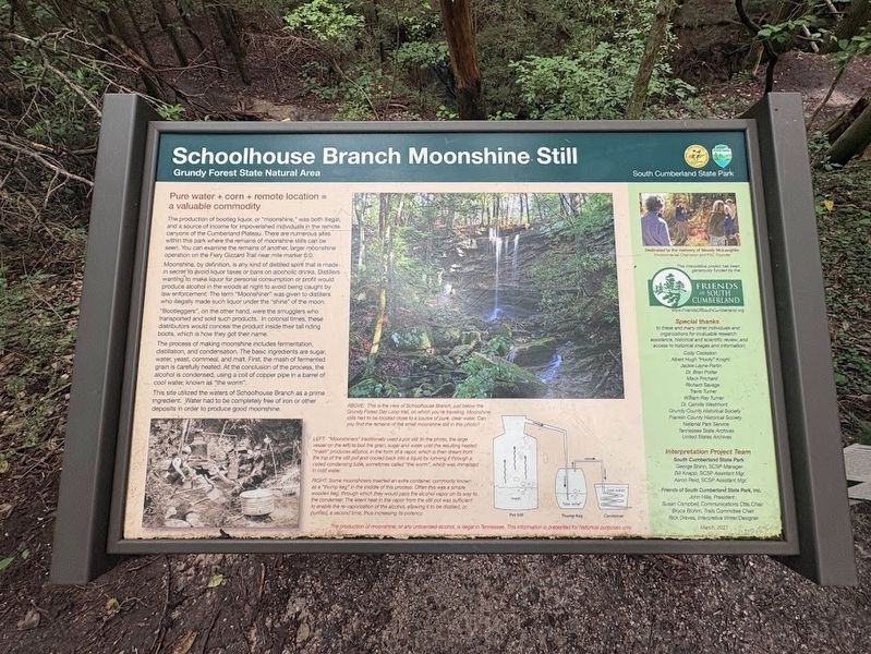
The production of bootleg liquor, or "moonshine," was both illegal, and a source of income for impoverished individuals in the remote canyons of the Cumberland Plateau. There are numerous sites within this park where the remains of moonshine stills can be seen. You can examine the remains of another, larger moonshine operation on the Fiery Gizzard Trail near mile marker 6.0.
Moonshine, by definition, is any kind of distilled spirit that is made in secret to avoid liquor taxes or bans on alcoholic drinks. Distillers wanting to make liquor for personal consumption or profit would produce alcohol in the woods at night to avoid being caught by law enforcement. The term "Moonshiner was given to distillers who illegally made such liquor under the "shine" of the moon.
"Bootleggers", on the other hand, were the smugglers who transported and sold such products. In colonial times, these distributors would conceal the product inside their tall riding boots, which is how they got their name.
The process of making moonshine includes fermentation, distillation, and condensation.
this page online
This site utilized the waters of Schoolhouse Branch as a prime ingredient. Water had to be completely free of iron or other deposits in order to produce good moonshine.
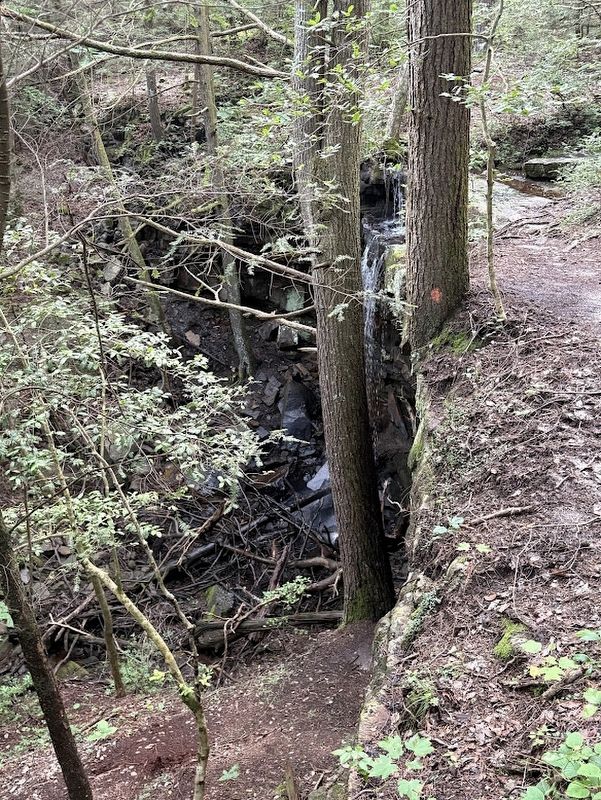
Photo caption (Above): This is the view of Schoolhouse Branch, just below the Grundy Forest Day Loop trail, on which you're traveling. Moonshine stills had to be located close to a source of pure, clear water: Can you find the remains of the small moonshine still in this photo?
Photo caption (Left): "Moonshiners" traditionally used a pot still (in the photo, the large vessel on the left) to boil the grain, sugar and water until the resulting heated "mash" produces alcohol, in the form of a vapor, which is then drawn from the top of the still pot and cooled back into a liquid by running it through a coiled condensing tube, sometimes called "the worm", which was immersed in cold water.
Photo caption (right) :
Photographed by Darren Jefferson Clay, June 22, 2025
2. Schoolhouse Branch Moonshine Still Marker
Topics. This historical marker is listed in this topic list: Industry & Commerce.
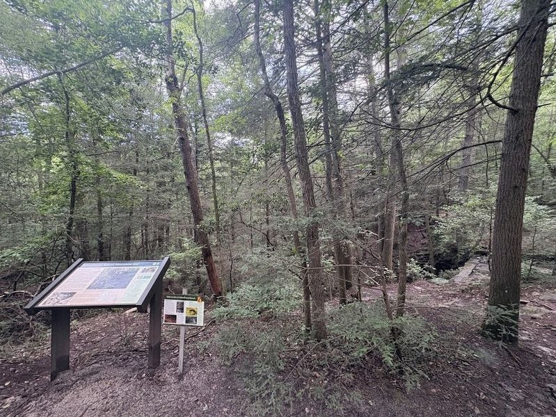
Location. 35° 15.096′ N, 85° 44.92′ W. Marker is in Tracy City, Tennessee, in Grundy County. It can be reached from Fiery Gizzard Road. Marker can be accessing the Fiery Gizzard North Trailhead and heading south on the Grundy Forest Day Loop trail. Maker is approximately .25 miles in on the trail. Touch for map. Marker is at or near this postal address: 131 Fiery Gizzard Rd, Tracy City TN 37387, United States of America. Touch for directions.

Regionally, this marker is in Tennessee’s Cumberland Plateau and in the Highland Rim. It is also in the American South, specifically in the Upper
Photographed by Darren Jefferson Clay, June 22, 2025
3. Schoolhouse Branch
Other nearby markers. At least 8 other markers are within walking distance of this marker: The Civilian Conservation Corps and Grundy State Forest (about 400 feet away, measured in a direct line); Laundry and Leaders (approx. 0.2 miles away); Herman Baggenstoss and the CCC (approx. 0.2 miles away); Company Bath House and Latrine (approx. 0.2 miles away); What Became of this Camp? (approx. 0.2 miles away); Life in Company 1475 (approx. 0.2 miles away); Keeping it Cool (approx. ¼ mile away); The home of CCC Company 1475 (approx. ¼ mile away). Touch for a list and map of all markers in Tracy City.
Credits. This page was last revised on July 3, 2025. It was originally submitted on June 26, 2025, by Darren Jefferson Clay of Duluth, Georgia. This page has been viewed 189 times since then and 72 times this year. Photos: 1, 2, 3. submitted on June 30, 2025, by Darren Jefferson Clay of Duluth, Georgia. • James Hulse was the editor who published this page.
