
Silver Creek in Lawrence County, Mississippi — The American South (East South Central)
Old Silver Creek Baptist Church
Photographed by Cosmos Mariner, June 23, 2025
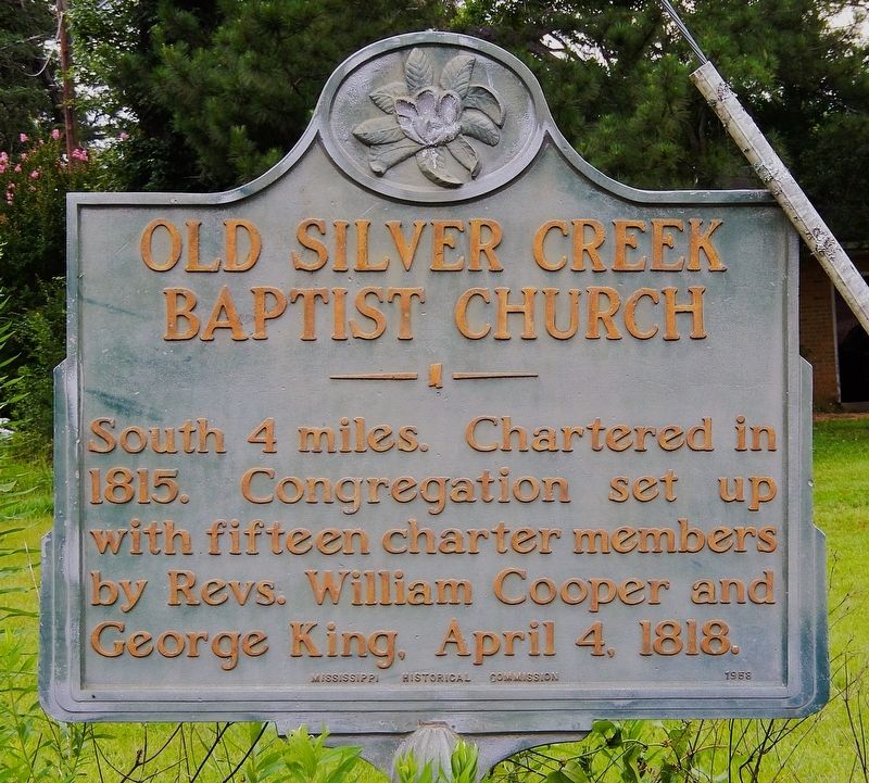
1. Old Silver Creek Baptist Church Marker
South 4 miles. Chartered in 1815. Congregation set up with fifteen charter members by Revs. William Cooper and George King. April 4, 1818.
Erected 1958 by Mississippi Historical Commission.
Topics and series. This historical marker is listed in these topic lists: Religion & Religious Structures • Settlements & Settlers. In addition, it is included in the Mississippi State Historical Marker Program series list. A significant historical date for this entry is April 4, 1818.
Location. 31° 36.31′ N, 90° 0.045′ W. Marker is in Silver Creek, Mississippi, in Lawrence County. It is at the intersection of Southern Avenue (State Highway 184) and 4th Street, on the right when traveling west on Southern Avenue. The marker is located at the northeast corner of the intersection. Touch for map. Marker is in this post office area: Silver Creek MS 39663, United States of America. Touch for directions.

Regionally, this marker is in Southwest Mississippi and in the Pine Belt. It is also in the American South, specifically in the Deep South, and in the Piney Woods. Globally, it is in North America, a Gulf of Mexico state, the Western
this page online
Other nearby markers. At least 8 other markers are within 9 miles of this marker, measured as the crow flies: St. Stephens Road (approx. 5.6 miles away); A. H. Longino (approx. 7 miles away); Gov. A.H. Longino House (approx. 7 miles away); Harmon Runnels (approx. 7.1 miles away); Bethany Church (approx. 7.1 miles away); Cooper's Ferry (approx. 7.2 miles away); J. B. Lenoir (approx. 7.2 miles away); Prentiss Institute (approx. 8.4 miles away).

Photographed by Cosmos Mariner, June 23, 2025
2. Old Silver Creek Baptist Church Marker
Looking north from Southern Avenue; 4th Street is on the left.
Photographed by Cosmos Mariner, June 23, 2025
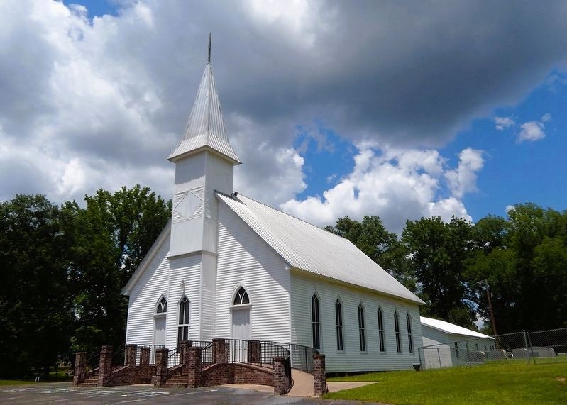
3. Old Silver Creek Baptist Church
The church is exactly 4 miles south of the marker. Follow 4th Street south to Front Street, which becomes Mississippi Highway 43A. The church is on Highway 43A at Fortenberry Lane.
Photographed by Cosmos Mariner, June 23, 2025
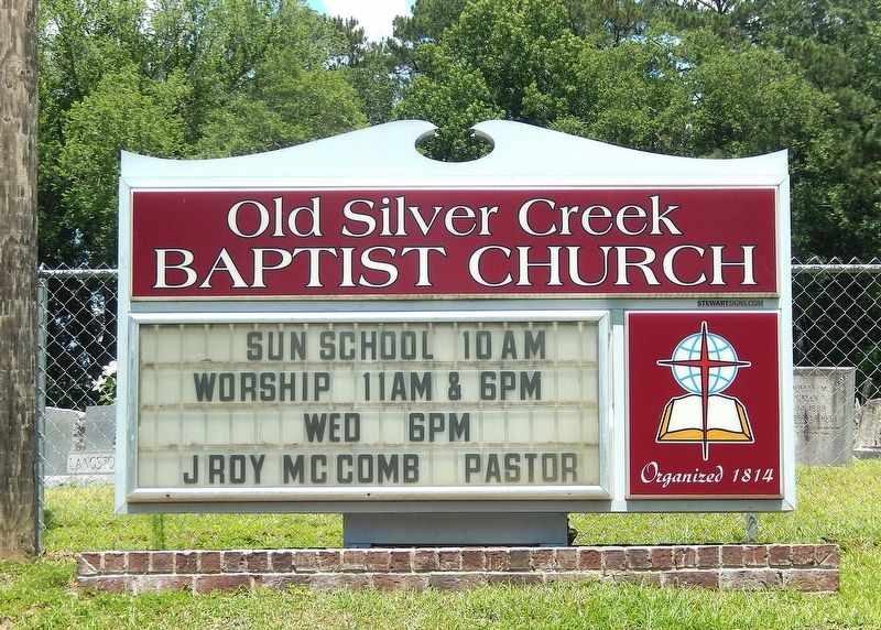
4. Old Silver Creek Baptist Church Sign
Photographed by Cosmos Mariner, June 23, 2025
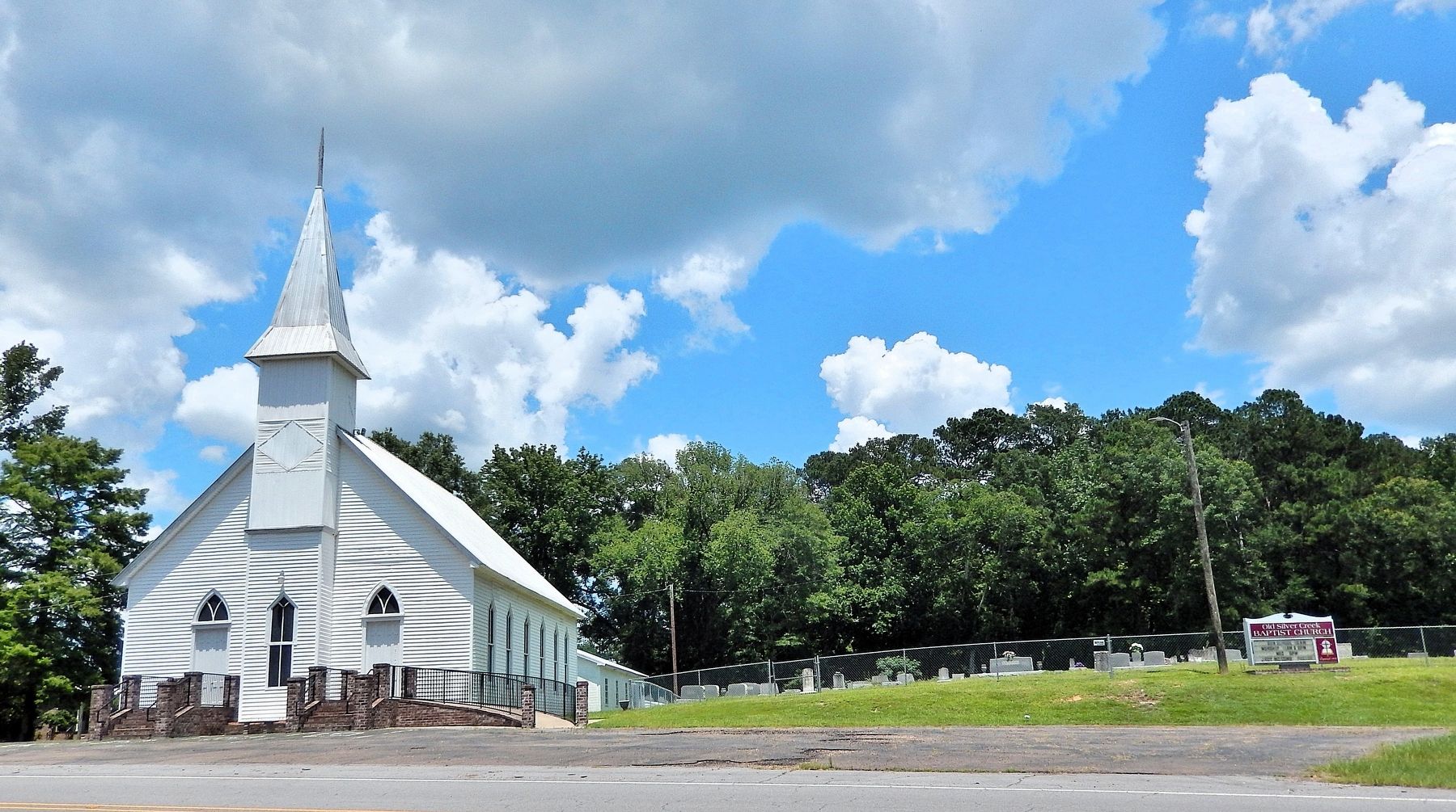
5. Old Silver Creek Baptist Church and Cemetery
Credits. This page was last revised on June 27, 2025. It was originally submitted on June 27, 2025, by Cosmos Mariner of Cape Canaveral, Florida. This page has been viewed 234 times since then and 95 times this year. Photos: 1, 2, 3, 4, 5. submitted on June 27, 2025, by Cosmos Mariner of Cape Canaveral, Florida.
