Iowa Falls in Hardin County, Iowa — The American Midwest (Upper Plains)
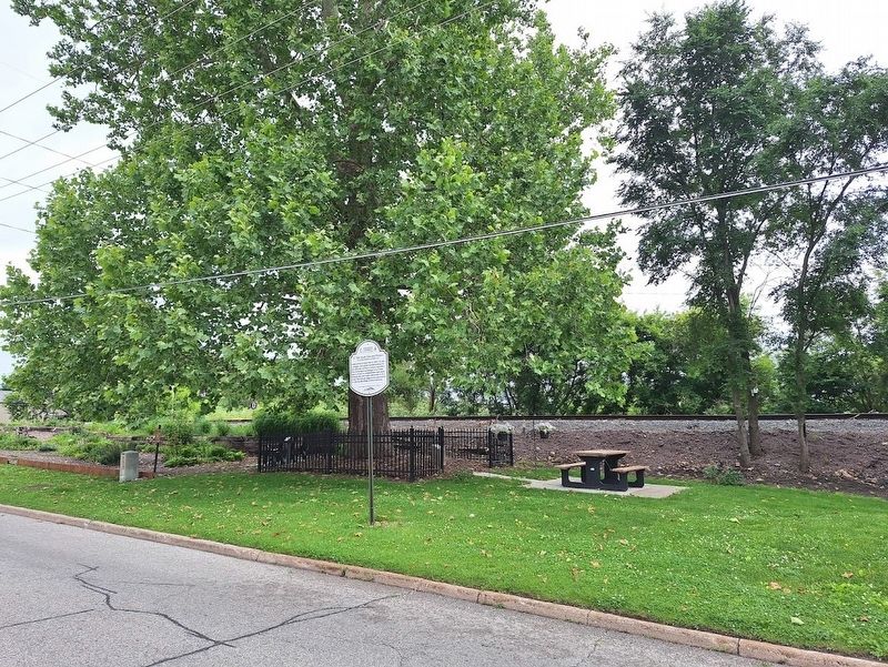
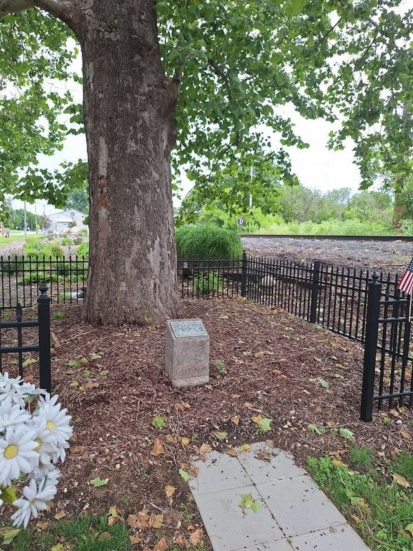
E. Olin Soule Tree and Plaque
Jefferson Highway Historic Site
Photographed by Jason Voigt, June 17, 2025
1. E. Olin Soule Tree and Plaque Marker
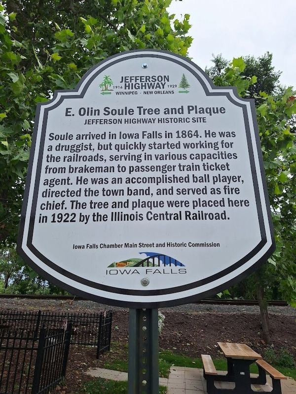
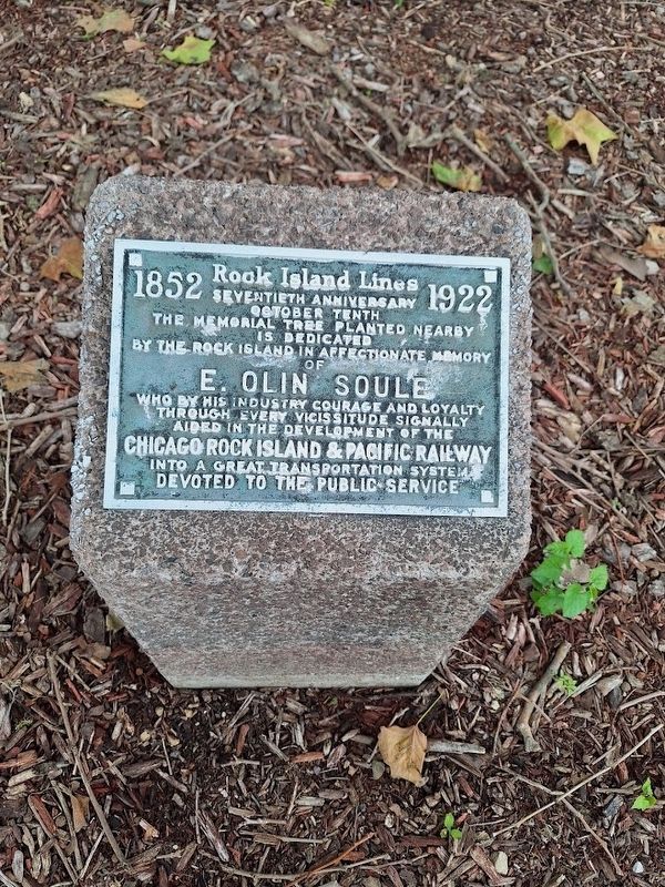
Soule arrived in Iowa Falls in 1864. He was a druggist, but quickly started working for the railroads, serving in various capacities from brakeman to passenger train ticket agent. He was an accomplished ball player, directed the town band, and served as fire chief. The tree and plaque were placed here in 1922 by the Illinois Central Railroad.
Erected by Iowa Falls Chamber Main Street and Historic Commission and Jefferson Highway Association.
Topics and series. This historical marker is listed in this topic list: Railroads & Streetcars. In addition, it is included in the Jefferson Highway series list. A significant historical year for this entry is 1864.
Location. 42° 31.29′ N, 93° 15.153′ W. Marker is in Iowa Falls, Iowa, in Hardin County. It is on East Rocksylvania Avenue west of Commercial Street, on the right when traveling east. Touch for map. Marker is at or near this postal address: 516 E Rocksylvania Ave, Iowa Falls IA 50126, United States of America. Touch for directions.

Regionally, this marker is in the American Midwest and in the Corn Belt. Globally, it is in North America, the Western Hemisphere,
this page online
Other nearby markers. At least 8 other markers are within 11 miles of this marker, measured as the crow flies: Railroad Car (approx. 0.2 miles away); Julia O'Neil Park (approx. ¼ mile away); Original Site of Ellsworth Municipal Hospital (approx. 0.3 miles away); L.E. Jones Mansion (approx. 0.4 miles away); Carnegie-Ellsworth Building (approx. 0.6 miles away); First Baptist Church (approx. 0.6 miles away); Site of White's Mill and Dam (approx. 0.8 miles away); Ackley, Iowa Veterans Memorial (approx. 10.3 miles away). Touch for a list and map of all markers in Iowa Falls.
Photographed by Jason Voigt, June 17, 2025
2. E. Olin Soule Tree and Plaque Marker
Photographed by Jason Voigt, June 17, 2025
3. E. Olin Soule Tree and Plaque Marker
Photographed by Jason Voigt, June 17, 2025
4. E. Olin Soule plaque
Credits. This page was last revised on June 27, 2025. It was originally submitted on June 27, 2025, by Jason Voigt of Glen Carbon, Illinois. This page has been viewed 128 times since then and 23 times this year. Photos: 1, 2, 3, 4. submitted on June 27, 2025, by Jason Voigt of Glen Carbon, Illinois.
