Bear River City in Box Elder County, Utah — The American Mountains (Southwest)
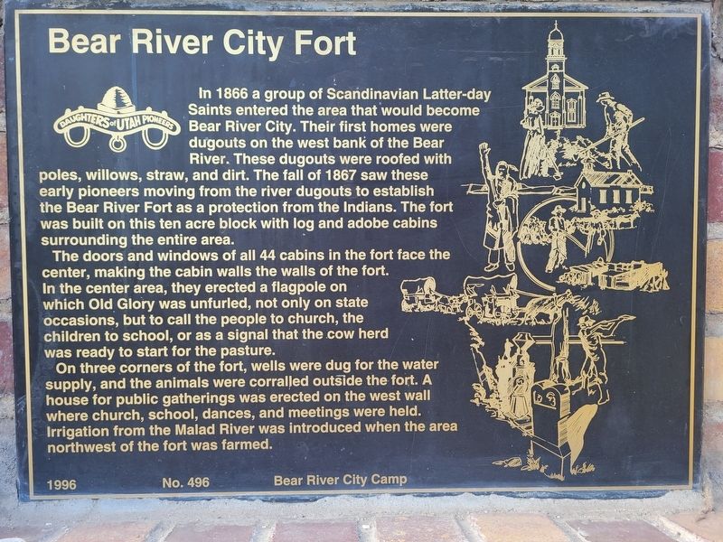
Bear River City Fort
Photographed by Jeremy Snow, June 21, 2025
1. Bear River City Fort Marker
The doors and windows of all 44 cabins in the fort face the center, making the cabin walls the walls of the fort. In the center area, they erected a flagpole on which Old Glory was unfurled, not only on state occasions, but to call the people to church, the children to school, or as a signal that the cow herd was ready to start for the pasture.
On three corners of the fort, wells were dug for the water supply, and the animals were corralled outside the fort. A house for public gatherings was erected on the west wall where church, school, dances, and meetings were held. Irrigation from the Malad River was introduced when the area northwest of the fort was
this page online
Erected 1996 by Daughters of Utah Pioneers. (Marker Number 496.)
Topics and series. This historical marker is listed in these topic lists: Forts and Castles • Settlements & Settlers. In addition, it is included in the Daughters of Utah Pioneers series list. A significant historical year for this entry is 1866.
Location. 41° 36.994′ N, 112° 7.249′ W. Marker is in Bear River City, Utah, in Box Elder County. It is on West 5900 North, on the right when traveling west. Touch for map. Marker is at or near this postal address: 4460 W 5900 N, Brigham City UT 84302, United States of America. Touch for directions.

Regionally, this marker is in the Cache Valley and in the West Desert. It is also in the American Mountain West and on the Colorado Plateau. Globally, it is in North America, the Rocky Mountains, the Western Hemisphere, the Western World, and the Anglosphere. Historically, it finds itself in what was once New Spain and also Mexico’s Alta California.
Other nearby markers. At least 8 other markers are within 5 miles of this marker, measured as the crow flies: Bear River City (about 600 feet away, measured
Photographed by Jeremy Snow, June 21, 2025
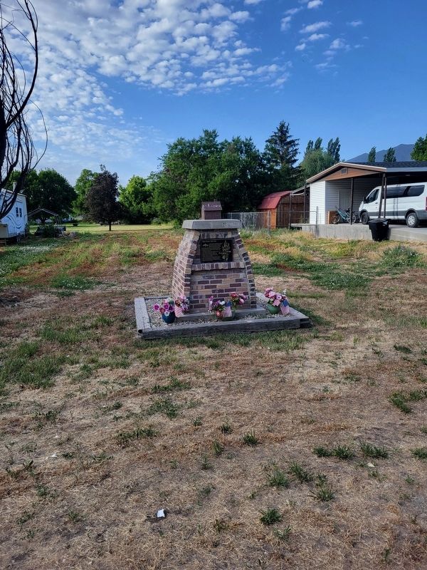
2. Bear River City Fort Marker
Credits. This page was last revised on June 29, 2025. It was originally submitted on June 28, 2025, by Jeremy Snow of Cedar City, Utah. This page has been viewed 146 times since then and 33 times this year. Photos: 1, 2. submitted on June 28, 2025, by Jeremy Snow of Cedar City, Utah. • Andrew Ruppenstein was the editor who published this page.
