Dupree in Ziebach County, South Dakota — The American Midwest (Upper Plains)
Grow: 66/125
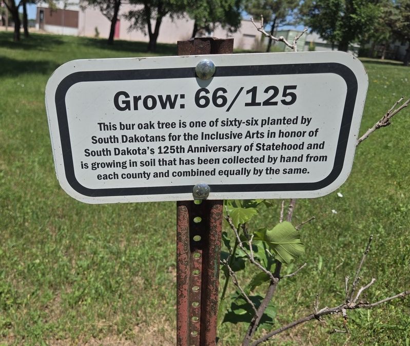
Photographed by Mark Parker, June 29, 2025
1. Grow 66/125 Marker
Topics. This historical marker is listed in this topic list: Horticulture & Forestry. A significant historical year for this entry is 2014.
Location. 45° 2.83′ N, 101° 36.17′ W. Marker is in Dupree, South Dakota, in Ziebach County. It can be reached from South D Street south of Third Street, on the left when traveling south. Touch for map. Marker is at or near this postal address: 215 S D St, Dupree SD 57623, United States of America. Touch for directions.

Regionally, this marker is in the Standing Rock Sioux Tribe and in West River. It is also in the American Lewis & Clark Corridor, on the prairies, and on the Northern Plains. Globally, it is in North America, the Western Hemisphere, the Western World, and the Anglosphere. Historically, it finds itself in what was once Rupert’s Land and also the Louisiana Purchase.
this page online
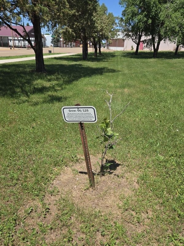
Photographed by Mark Parker, June 29, 2025
2. Grow 66/125 Marker next to the planted Burr Oak
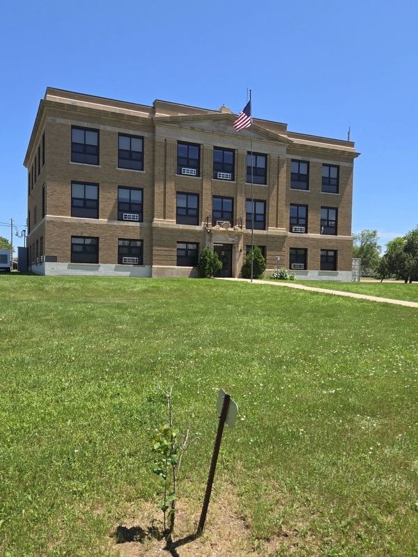
Photographed by Mark Parker, June 29, 2025
3. Grow 66/125 Marker on the west grounds of the Ziebach County Courthouse
Credits. This page was last revised on July 5, 2025. It was originally submitted on June 29, 2025, by Mark Parker of Hickory, North Carolina. This page has been viewed 327 times since then and 199 times this year. Photos: 1, 2, 3. submitted on June 29, 2025, by Mark Parker of Hickory, North Carolina. • J. Makali Bruton was the editor who published this page.
