Vernal in Uintah County, Utah — The American Mountains (Southwest)
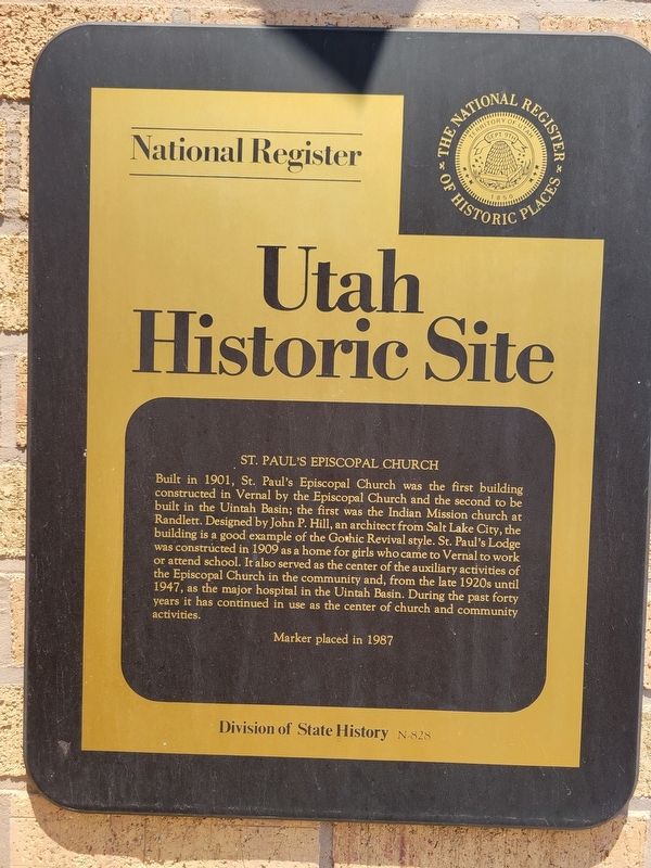
St. Paul's Episcopal Church
Utah Historic Site
| — | National Register of Historic Places | — |
Photographed by Jeremy Snow, June 27, 2025
1. St. Paul's Episcopal Church Marker
Erected 1987 by Utah Division of State History. (Marker Number N-828.)
Topics and series. This historical marker is listed in these topic lists: Architecture • Religion & Religious Structures. In addition, it is included in the Utah Historic Sites (NRHP) series list. A significant historical year for this entry is 1901.
Location. 40° 27.347′ N, 109° 31.977′ W. Marker is in Vernal, Utah, in Uintah County. It
this page online

Regionally, this marker is in the Uinta Basin. It is also in the American Mountain West and on the Colorado Plateau. Globally, it is in North America, the Rocky Mountains, the Western Hemisphere, the Western World, and the Anglosphere. Historically, it finds itself in what was once New Spain and also Mexico’s Alta California.
Other nearby markers. At least 8 other markers are within walking distance of this marker: Farm Exchange Building (about 300 feet away, measured in a direct line); Vernal Post Office (about 800 feet away); Fort Ashley Center (about 800 feet away); Where the Dollar has More Cents (approx. 0.2 miles away); Cobble Rock Gas Station (approx. 0.2 miles away); Do Religion and Money Mix? (approx. 0.2 miles away); Parcel Post Bank (approx. 0.2 miles away); The Bank of Vernal (approx. 0.2 miles away). Touch for a list and map of all markers in Vernal.

Photographed by Jeremy Snow, June 27, 2025
2. St. Paul's Episcopal Church Marker
marker just to the left of the entrance doors.
Photographed by Jeremy Snow, June 27, 2025
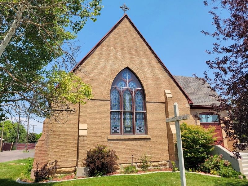
3. St. Paul's Episcopal Church Building
Credits. This page was last revised on June 30, 2025. It was originally submitted on June 29, 2025, by Jeremy Snow of Cedar City, Utah. This page has been viewed 159 times since then and 51 times this year. Photos: 1, 2, 3. submitted on June 29, 2025, by Jeremy Snow of Cedar City, Utah. • Andrew Ruppenstein was the editor who published this page.
