Pleasantville in Bedford County, Pennsylvania — The American Northeast (Mid-Atlantic)
Pleasantville
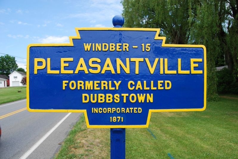
Photographed by Mike Wintermantel, June 14, 2020
1. Pleasantville Marker
Incorporated
1871
Erected by Pennsylvania Department of Highways.
Topics and series. This historical marker is listed in this topic list: Notable Places. In addition, it is included in the Pennsylvania Keystone Markers series list. A significant historical year for this entry is 1871.
Location. 40° 10.759′ N, 78° 36.68′ W. Marker is in Pleasantville, Pennsylvania, in Bedford County. It is on Quaker Valley Road (Pennsylvania Route 56) north of King St. Clair Road ( Route 96). Touch for map. Marker is in this post office area: Alum Bank PA 15521, United States of America. Touch for directions.

Regionally, this marker is in South-Central Pennsylvania and in the Laurel Highlands. It is also in the American Northeast, in the Mid-Atlantic, in Appalachia, and specifically in Northern Appalachia. Globally, it is in North America, the Western Hemisphere, the Western World, and the Anglosphere. Historically, it finds itself in what was once the Haudenosaunee (Iroquois) Confederacy and also one of the original Thirteen Colonies.
Other nearby markers. At least 8 other markers are within
this page online
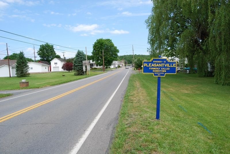
Photographed by Mike Wintermantel, June 14, 2020
2. Pleasantville Marker

Photographed by Mike Wintermantel, June 11, 2015
3. Pleasantville Marker
Before repairs and repainting by KMT Board Member Mike Wintermantel
Credits. This page was last revised on June 30, 2025. It was originally submitted on June 30, 2025, by Mike Wintermantel of Pittsburgh, Pennsylvania. This page has been viewed 86 times since then and 19 times this year. Photos: 1, 2, 3. submitted on June 30, 2025, by Mike Wintermantel of Pittsburgh, Pennsylvania.
