Beavercreek Township in Riverside in Montgomery County, Ohio — The American Midwest (Great Lakes)
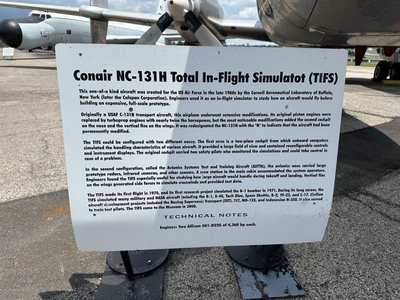
Conair NC-131H Total In-Flight Simulatot (TIFS)
Photographed by Pete Skillman, June 28, 2025
1. Conair NC-131H Total In-Flight Simulatot (TIFS) Marker
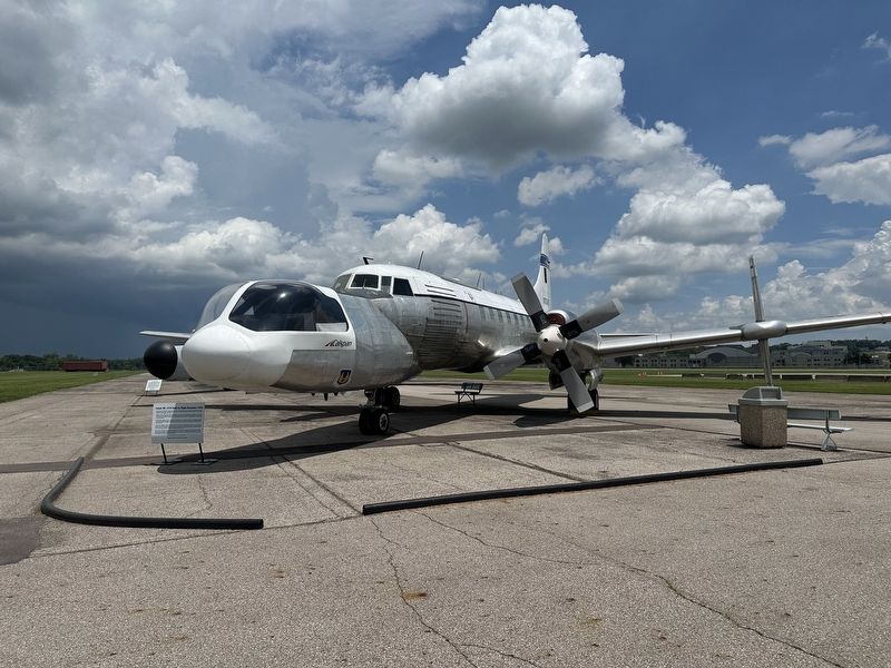
Originally a USAF C-131B transport aircraft, this airplane underwent extensive modifications. Its original piston engines were replaced by turboprop engines with nearly twice the horsepower, but the most noticeable modifications added the second cockpit on the nose and the vertical fins on the wings. It was redesignated the NC-131H with the "N" to indicate that the aircraft had been permanently modified.
The TIFS could be configured with two different noses. The first nose is a two-place cockpit from which onboard computers simulated the handling characteristics of various aircraft. It provided a large field of view and contained reconfigurable controls and instrument displays. The original cockpit carried two safety pilots who monitored the simulations and could take control in case of a problem.
In the second configuration,
this page online
The TIFS made its first flight in 1970, and its first research project simulated the B-1 bomber in 1971. During its long career, the TIFS simulated many military and NASA aircraft including the B-1, X-40, Tacit Blue, Space Shuttle, B-2, YF-23, and C-17. Civilian aircraft development projects included the Boeing Supersonic Transport (SST), 7J7, MD-12X, and Indonesian N-250. It also served to train test pilots. The TIFS come to the Museum in 2008.
TECHNICAL NOTES
Engines: Two Allison 501-D22G of 4,368 hp each.
Topics. This historical marker is listed in this topic list: Air & Space.
Location. 39° 47.036′ N, 84° 6.529′ W. Marker is in Riverside, Ohio, in
Photographed by Pete Skillman, June 28, 2025
2. Conair NC-131H Total In-Flight Simulatot (TIFS) Marker - wide view with aircraft

Regionally, this marker is in the Dayton Metro and in the Miami Valley. It is also in the American Midwest and in the Corn Belt. Globally, it is in North America, the Western Hemisphere, the Western World, and the Anglosphere. Historically, it finds itself in what was once the Haudenosaunee (Iroquois) Confederacy, the territory of the Mississippian Culture, and the Northwest Territory.
Other nearby markers. At least 8 other markers are within walking distance of this marker: The Belly Tank (a few steps from this marker); American Air Forces in England, WWII (a few steps from this marker); 8th Air Force Control Tower (a few steps from this marker); White Square (within shouting distance of this marker); Boeing EC-135E ARIA (within shouting distance of this marker); Lockheed AC-130A (within shouting distance of this marker); Boeing KC-135R Stratotanker (about 300 feet away, measured in a direct line); McDonnell Douglas F-15A Eagle (about 600 feet away). Touch for a list and map of all markers in Riverside.
Credits. This page was last revised on June 30, 2025. It was originally submitted on June 30, 2025, by Pete Skillman of Wilmington, Delaware. This page has been viewed 119 times since then and 20 times this year. Photos: 1, 2. submitted on June 30, 2025, by Pete Skillman of Wilmington, Delaware.
